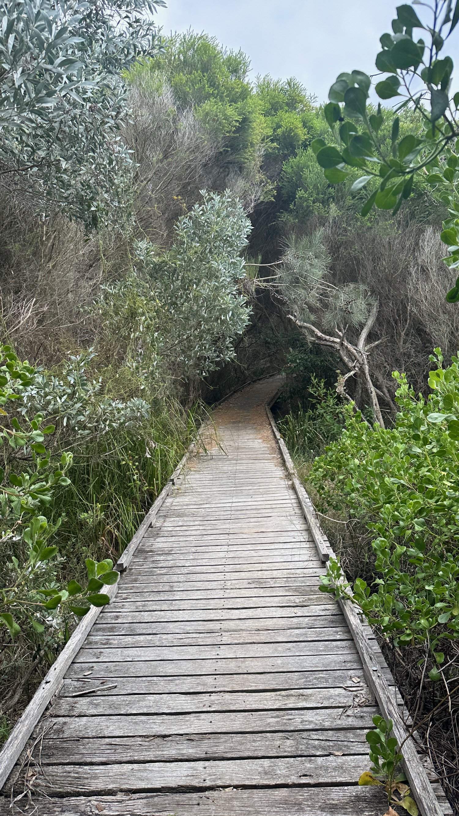
Tomaree Headland Walk
This popular hiking trail is in the Tomaree National Park, Port Stephens, about two and a half hours north of Sydney. It offers the perfect mix of bushland beauty and stunning seascapes.
It’s a fairly short walk and though not difficult, parts of the trail may be challenging. The climb will certainly get your heart pumping, especially at the steepest part, near the peak. But the climb is worth it It for the stunning panoramic views you get at the top.
Good to know
The walk begins near the Zenith Beach carpark at the end of Shoal Bay Road. Information boards at the start provide details about the walk and the area.
The trail is 2.2 kilometres long and the return trip will take about 1 -2 hours depending on your pace (and that of others), and whether or not you choose to take the diversion to Fort Tomaree.
The track is well-maintained but some sections can become quite slippery when wet.
Beyond the beach and car park there is no water and little shade so come prepared. Toilets are located near the start of the track and coffee and food can be found just up the road in Shoal Bay.
The Trail to Tomaree Head
The first part of the trail is a steady climb. As you climb, you'll be treated to filtered views of the coastline, Port Stephens, and the surrounding bushland. As you get higher, the trees thin out and the views get even better. It’s worth stopping every now and then to take a look around you (and take a breath).
Port Stephens is a hotspot for whale watching and from May to November Tomaree Headland offers a great vantage point from which to view them. Dolphins are also seen regularly here and less regularly, koalas are sighted high in the trees. Look out for echidnas foraging among the leaf litter and for sea-eagles and other seabirds like the Goulds Petrel, which breeds almost exclusively in the Port Stephens area.
The last section of the trail is by far the steepest. There are a number of steps and some narrow raised paths to navigate before you reach the peak.
It can get busy at the summit especially on weekends but its worth taking time after the climb to soak up the scene. From the north platform, you’ll have panoramic views of Yacaaba Head, Cabbage Tree, Boondelbah and Broughton Islands. On the south side, the viewing platform looks out to Zenith, Wreck and Box Beaches, Fingal Island and the Point Stephens Lighthouse.
Fort Tomaree
As you head back down the hill you might like to take the diversion to Fort Tomaree that you’d have seen on the way up.
The Fort was built in 1941 to help defend the east coast of Australia. While the guns, search lights, barracks and other buildings are long gone, the gun emplacements remain as a reminder of the perceived threat at the time.
Interpretive signage at the site gives detailed information about the Fort’s features and function.
In the area
Port Stephens is a popular holiday destination. and with 26 beaches lining the coast there are plenty of things to do in the surrounding sand and sea.
For surfing, try Anna Bay, Fingal Bay or One Mile Beaches. Birubi Beach is also good for surfing as well as for sand-boarding and camel rides. Wanda Beach, Zenith Beach and Shoal Bay are popular fishing spots. Shoal Bay is also good for snorkelling, as is Fly Point, Little Beach and Halifax Point. For diving head to the dive shops in Nelson Bay for guides and equipment.
If you’re up for more walking, check out the Tomaree Coastal Path. This one is more of a multi-day experience, if you want to walk the entire trail as it stretches for 27 km from Tomaree Headland to Birubi Beach. Or you could just choose to walk part of the trail as we did. I’ll be adding details of our walk from Fingal Beach to Boat Harbour soon.


