Duffys Wharf Track
If you’re expecting to see an actual wharf at the end of this track you’ll be disappointed. The wharf, constructed back in the 1850s has long since ceased to operate and little trace of it remains.
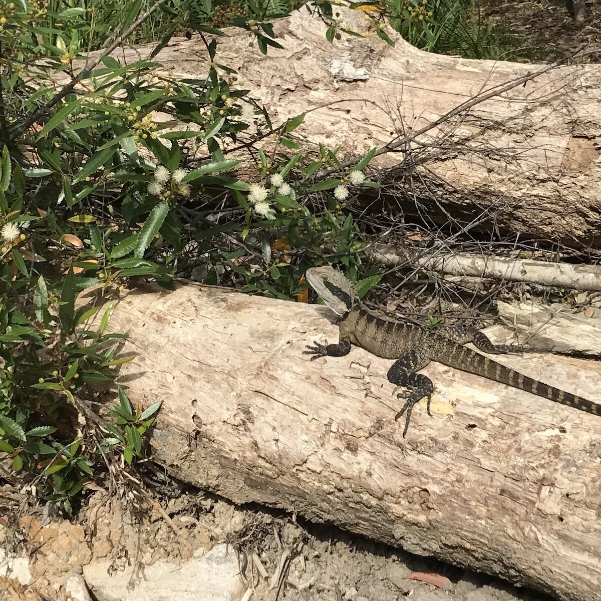
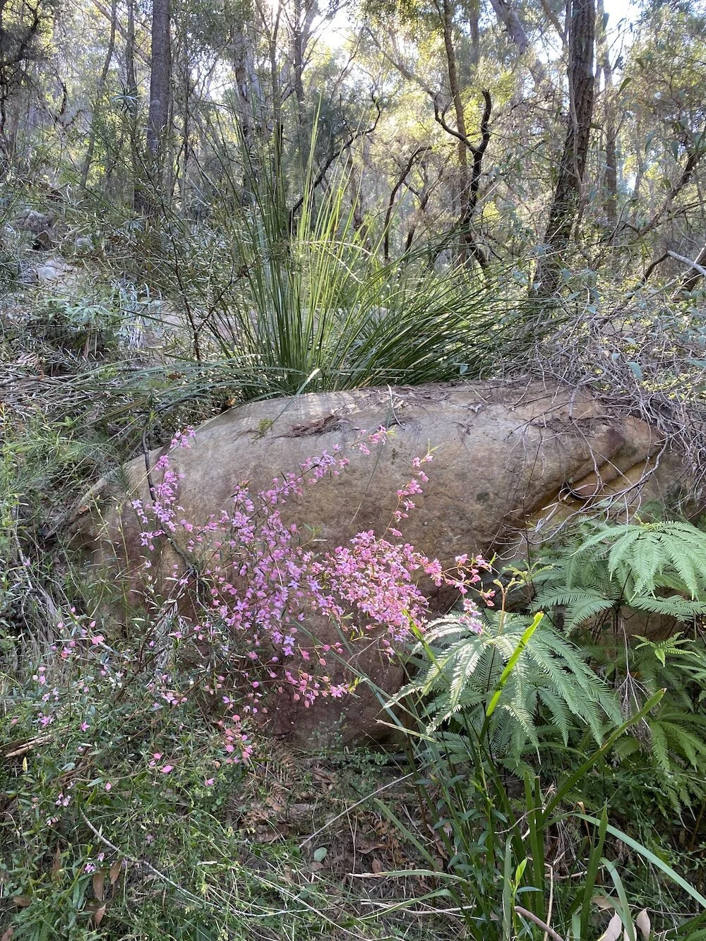
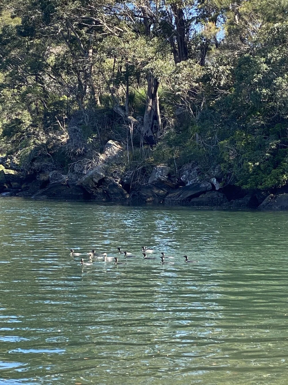
But the walk is worth doing for the bush scenery and wildlife spotting, the pretty wildflowers and the tranquil setting at the bottom. Not to mention the cardio workout you’ll get on the way back up.
This is not a long walk in terms of distance but it is steep so take your time going down. And it’s very pretty at the bottom so you might want to sit a while at the water’s edge before tackling the climb back up the hill.


The Trail
The track starts at the end of Booralie Rd, a quiet street in the sleepy semi-rural suburb of Duffys Forest. It’s well signposted and pretty straightforward.
Follow the trail leading to Slades Lookout and Duffys Track and then turn right at the sign to Duffys Wharf .
The steepest part of the path is this first bit on the maintenance roads. The sandy surface and small rocks make it slippery even when dry so watch where you’re going. It’s less steep once you hit the walking track.
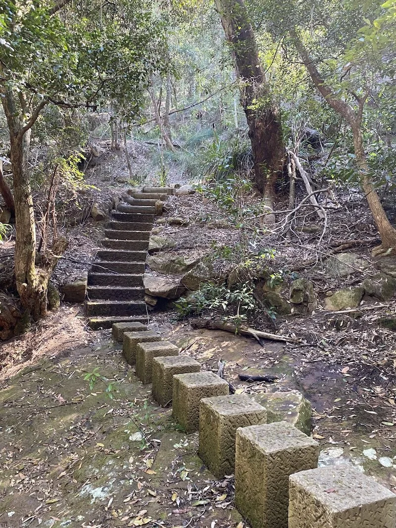
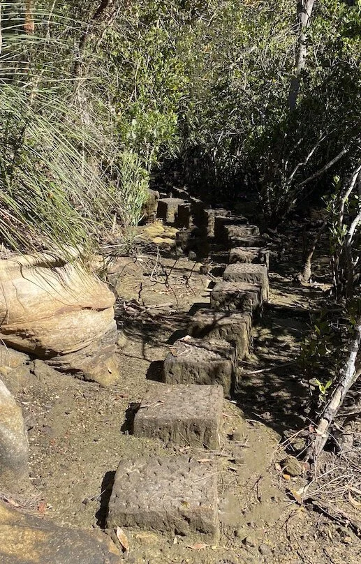
Once the trail flattens out you’ll come to a pretty little creek in the gully with stepping stones and a man made crossing.

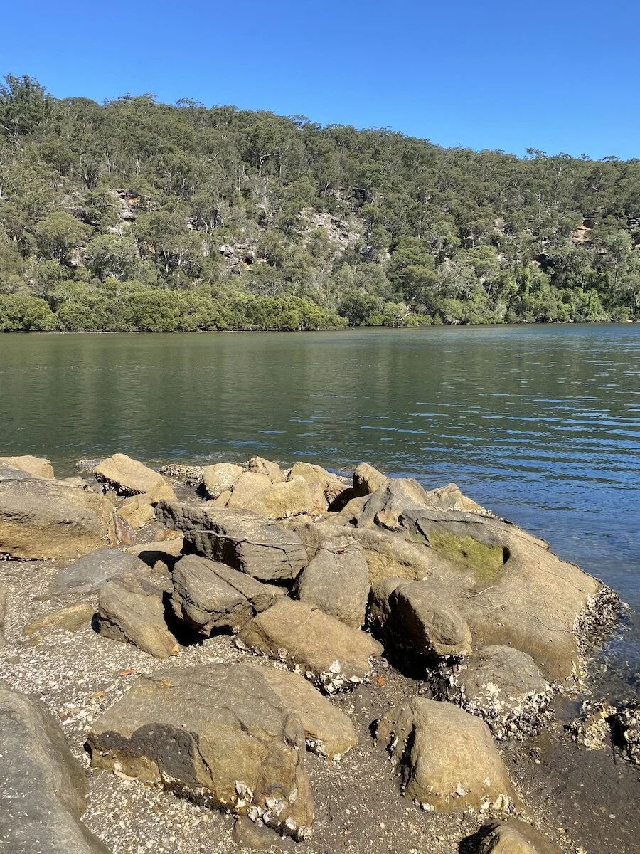
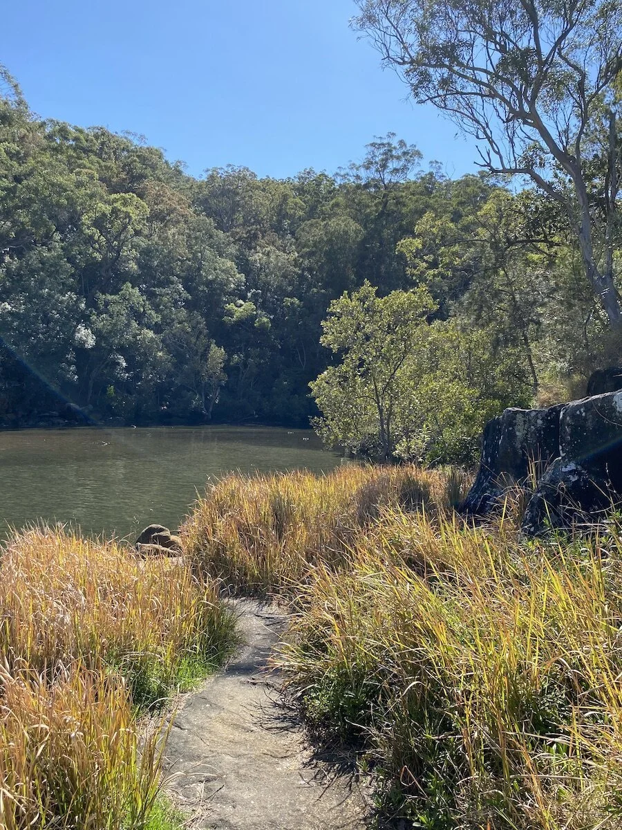
A little way on is a small clutch of mangroves. At low tide you can skip along the stepping stones here but when the tide’s up things could get a little muddier. The mangrove path winds its way around to where the wharf once stood, on the edge of Cowan Creek.
History
The wharf was constructed by Peter Duffy, Irishman and major local landowner, for whom the suburb was named. Duffy erected the wharf in the mid 1850s in order to transport local timber. The felled trees were brought down to the waters edge by bullock and loaded on to boats at the wharf.
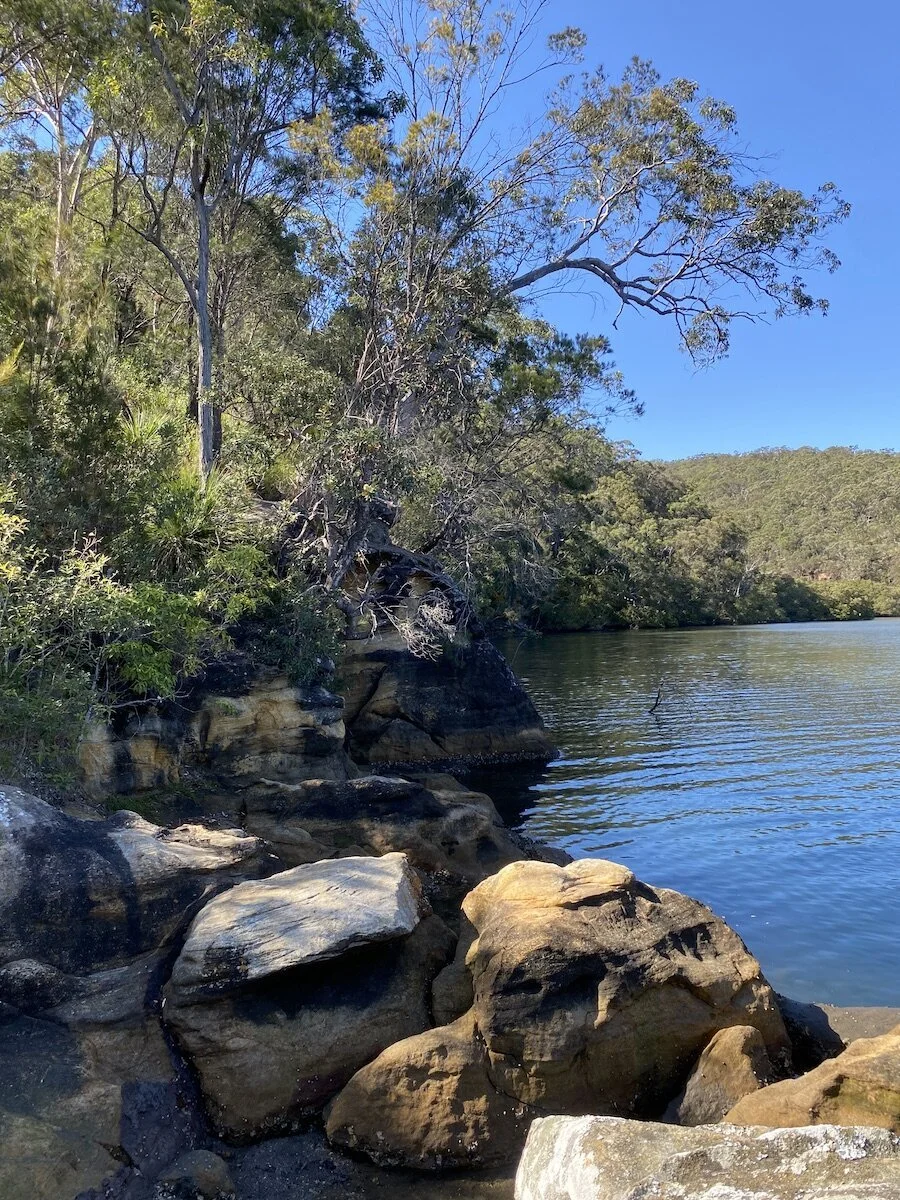
A few rocks at the waters edge mark the place where the wharf once stood.
Duffys Wharf Cowan Creek Source: Hornsby Recollects. https://hornsbyshire.recollect.net.au/nodes/view/4460
Many years before Duffy arrived, and for some years after, the area was home to the Guringai people who gave the name to the surrounding national park. Tragically, their numbers were decimated by the smallpox epidemic which swept through the Sydney region following the arrival of Europeans.
There are more than 800 recorded Aboriginal sites in Ku-ring-gai National Park including rock art, rock shelters and several large shell middens. Traces of one such midden can be seen in the broken shells underfoot at the very place Duffy built his wharf.


Slades Lookout
To return to the start get climbing, back up those hills you just climbed down. It’s not that bad really and there are plenty of flat bits to stop and take a breather while taking in the surrounds.
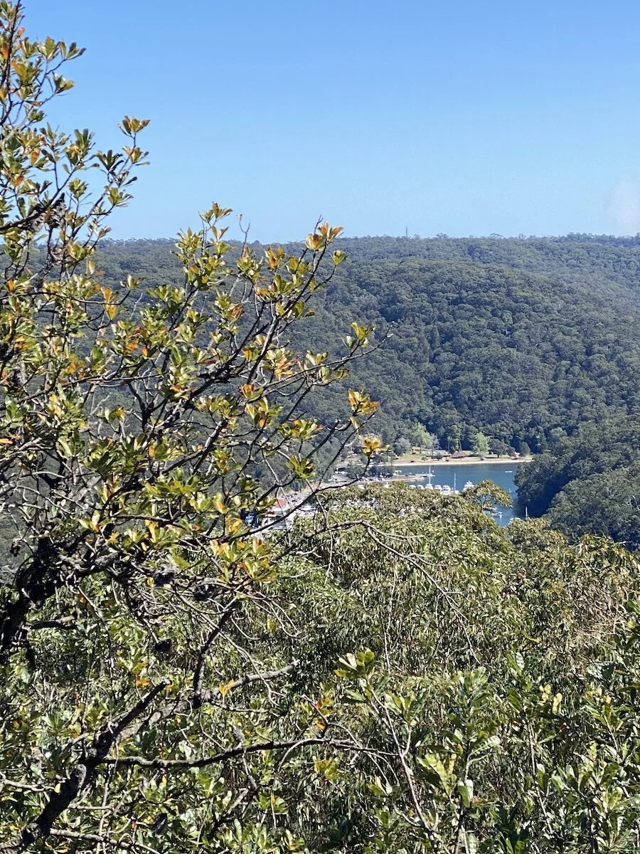
If you’ve got the time, take the side track up the top to Slades Lookout. It’s only an extra 1400 metres return, mostly flat and worth it for the view
It looks out over Bobbin Head, which is a bit of a drive by road but seems a mere stone’s throw from up here.
Down beyond the large rock platform there is apparently a bush path that could see you take a loop down to the water’s edge and back up the Wharf Track. Quite a bit of bush-bashing involved though, and since I don’t have the best sense of direction, I decided to stick to the trails.