Bondi to Watsons Bay
-
A clifftop walk from Bondi to Watsons Bay via Diamond Bay, Macquarie Lighthouse and The Gap.
Distance 9km Time 2-3 hours
Steps c14,000
Level of Difficulty Easy/Moderate -
Swimming: Bondi Beach at the start; calm beach at the finish at Watsons Bay
Whale watching: Best from clifftops near Eastern Reserve and The Gap (May–September)
Side walks: Optional extension to Hornby Lighthouse on South Head
Food & drink: Plenty of cafés, restaurants and takeaway options in Bondi and Watsons Bay
Photography: Diamond Bay and The Gap offer some of the best coastal views
-
Access
Start: Bondi Beach (southern end)
Finish: Watsons Bay WharfPublic transport: The 380 bus runs between Bondi Junction and Watsons Bay with stops at Bondi Beach. The ferry from Watsons Bay returns to Circular Quay
Parking: Limited street parking around Bondi; consider public transport
Both Bondi and Watsons Bay can be very busy on weekends and during school holidays. Consider walking outside these times
Bring sun protection — much of the walk is exposed
Carry water and snacks; toilets and shops are scarce mid-walk
Expect stairs and uneven paths, particularly around the cliff sections
This walk is delightful and the trail surprisingly quiet, especially midweek. The walk from Bondi to Watsons Bay comprises the first leg of the increasingly popular Bondi to Manly walk.
The walk takes between two and three hours, depending on your pace. There are some boring bits, especially in the first section as you make your way through the streets of North Bondi. You can skip some of the street walking by setting off from Raleigh Reserve,. But that does mean missing the opportunity for a swim at the iconic Bondi Beach.
WALKING THE TRAIL
Bondi Beach to Williams Park
When you arrive at the beach, head down to the sand and walk toward the North end to begin the route.
If you’re a visitor to Sydney, Bondi Beach is no doubt on your must-see list. The crescent-shaped beach, with its soft sand and social scene draws visitors from far and wide.
You’ll recognise the postcard scenes of sand, surf and skate ramps, but as you walk along the beach look out also for the colourful public artworks that line the sea wall. The murals feature the work of street artists from around the world. The artworks change every six months although two have been chosen by Waverley Council for long-term preservation. One is “The Girl with a Frangipani in Her Hair”, dedicated to local girl Chloe Byron who lost her life in the 2002 Bali bombing, and the other is an Anzac commemorative mural.


At the southern end of the beach, take the steps beside the RSL Club up to Brighton Boulevard. This is a good place to ,grab a coffee or sandwich for the walk ahead before turning into Military Road and heading uphill. Military Rd and heading up the hill.
There’s no getting around it - the street walking through North Bondi isn’t the most exciting part of the route - but there are a few bright spots along the way.
Williams Park provides the first. Follow the track toward the large stone tower. (Keep an eye out for stray golf balls — you’re cutting through the golf course). Behind the tower, Aboriginal carvings of marine animals are etched into a sandstone rock shelf overlooking the ocean. The carvings have been re-grooved to preserve their outlines, and some are believed to be thousands of years old.
Hugh Bamford Reserve offers another welcome escape from the streetscape. Further along at Raleigh Reserve in Dover Heights, opens out onto a long stretch of parkland atop 80-metre-high clifftops, with wide ocean views. There is a small playground here and judging by the number of four legged visitors, dog walkers do a roaring trade in these parts.
Raleigh Reserve morphs into Rodney Reserve which you’ll leave via Weonga Rd. Head back up to Military Rd and turn right.
Dudley Page Reserve to Eastern Reserve
Dudley Page Reserve, just a little further on, offers some of the most expansive views of the city and harbour. Predictably popular on New Years Eve, year round, it’s also a great place to watch the sun set over Sydney.
From the stairs at the end of Dudley Page Reserve, cross the road and turn right onto Lancaster Street and then continue on into the Eastern Reserve. The timber steps and boardwalk that hug the cliffs lead down to the grassed area of the reserve.
Eastern Reserve terminates in a dead end but you’ll see a set of stairs leading up to Oceanview Avenue. Take these to continue the walk up the hill turning right at Ray St.
Diamond Bay Reserve to Macquarie Lighthouse
Part way along Ray Street you’ll pass some pretty impressive homes before reaching a big, white apartment building. Just before it is a stairway which leads down and around to Diamond Bay Reserve.
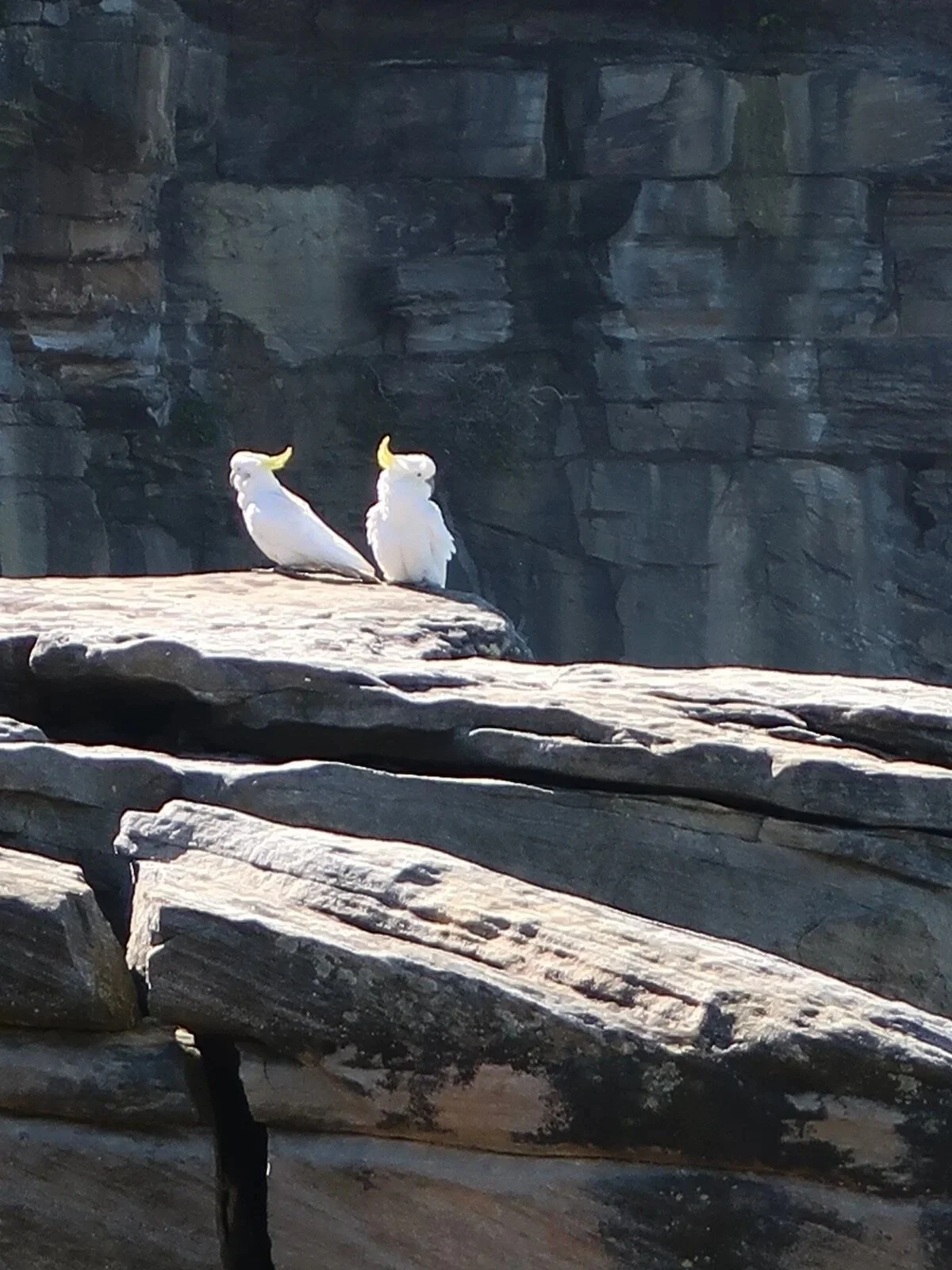
This is my favourite part of the walk. Birds wing their way between soaring sandstone cliffs and the clifftop path curves out over the ocean, with turquoise water and white foam far below.
As the path climbs through the reserve toward Chris Bang Crescent, look out for a small pocket of rainforest tucked between the cliffs — an unexpected contrast to the exposed headland.
Follow Chris Bang Crescent to Clark Reserve, then continue through Christison Park toward Macquarie Lighthouse.

Macquarie Lighthouse To Watsons Bay
Designed by convict architect Francis Greenway, Macquarie Lighthouse is Australia’s first and longest-serving lighthouse. Originally built in 1818, it was largely reconstructed in 1880 after its foundations were found to be unstable. The 26-metre tower looks east to the open ocean and west toward the city, harbour and bridge.
The attractive sandstone keepers cottage that sits beside the lighthouse is now a private residence under lease from the Sydney Harbour Federation Trust. Further along the headland is the Signal Station, dating back to the 1840s, with remnants of late-19th-century fortifications still visible nearby. From here, follow the clifftop path for about a kilometre to reach The Gap.
A beautiful, craggy cliff with fabulous ocean views, The Gap is is well known for all the wrong reasons and the purpose built fencing and onsite Lifeline phone booths attest to this.
But it is also famous for its views and while these are good on the lower walkway, it’s worth taking the steps up to the clifftop for elevated views to North and South Head and over to the city. This is also a great spot to watch for migrating whales between the months of May and September.


Watson’s Bay
Watson’s Bay is the perfect place to end the walk. You can cool off at the small sandy beach, enjoy a picnic in the park, or visit one of the many eateries including the long-standing Doyles restaurant or Watson’s Bay Hotel.
If you’ve still got the energy, Hornby Lighthouse is a kilometre or two up the hill on South Head and the walk and views are lovely. I chose to save that trip for another day.
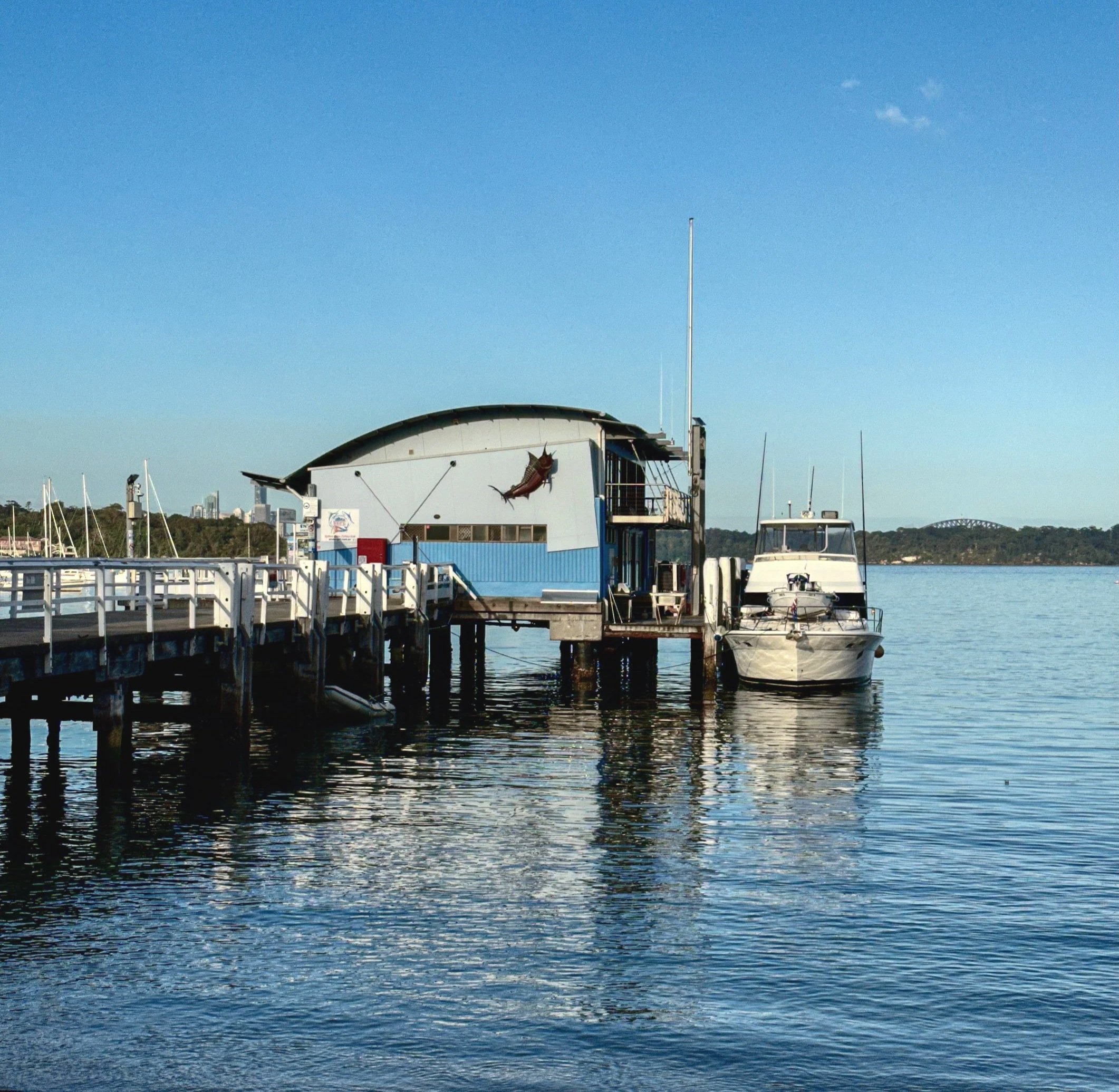
Watson’s Bay Ferry Wharf
From Watsons Bay Wharf, ferries return to the city. Alternatively, the 380 bus from Gap Road runs back to Bondi Beach.
LAST UPDATED DECEMBER 2025