Flat Rock Gully
A Hidden Bushland Escape on Sydney's Lower North Shore
-
A short(ish) bush walk in the middle of suburbia
Distance 5km Time 1.5 hours
Steps 8,000
Level of Difficulty Easy/Moderate -
Natural bushland and waterfalls
Tunks Park – Harbourside reserve with playing fields, a playground, boat ramps and designated off-leash dog areas.
Long Gully Bridge – Heritage-listed bridge dating to 1892, featuring twin Gothic sandstone towers and an impressive decorative arch.
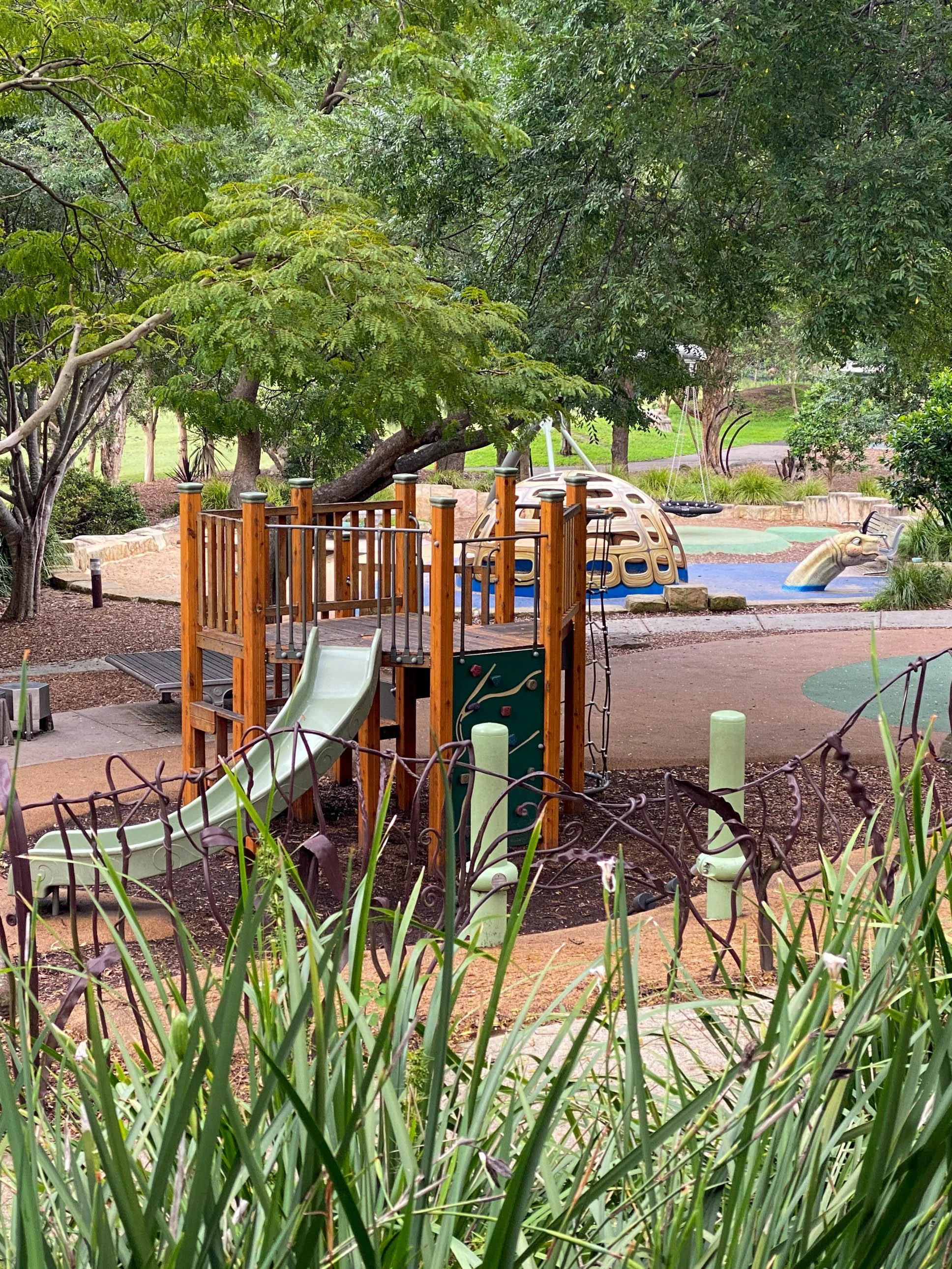
Hallstrom Park – A popular local park with playground equipment, quirky iron and timber sculptures and open green space.
Lawson’s Cave – A rock overhang beside the path where poet Henry Lawson is said to have slept after visits to a nearby tavern in the early 1900s.
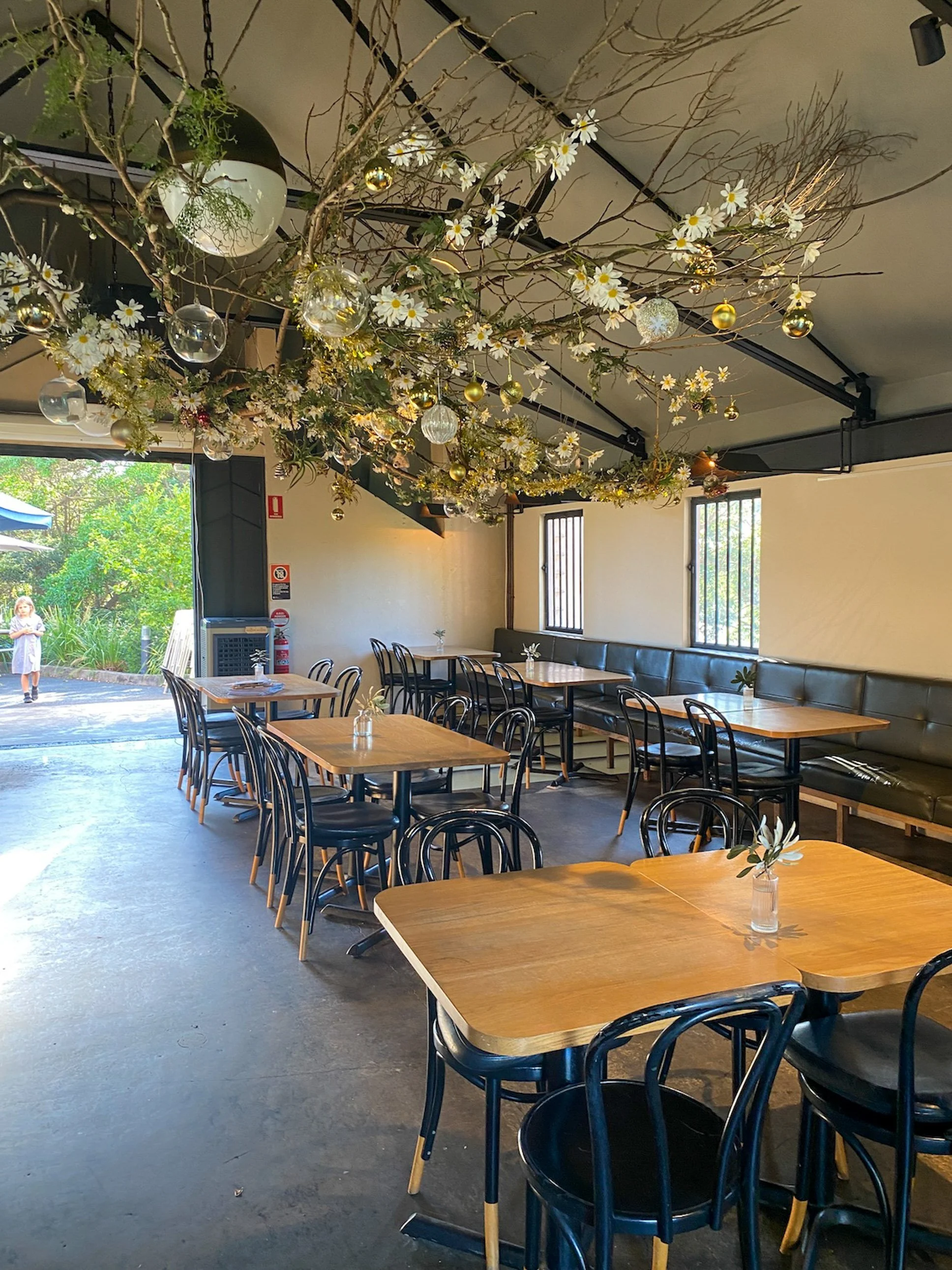
The Incinerator Café & Art Space – A much-loved local café and gallery housed in a former council incinerator designed by Walter Burley Griffin.
-
Directions & Access
Start & finish: Willoughby Leisure Centre (loop walk)
By car: There is plenty of parking at Willoughby Leisure Centre, unless netball is on — in which case, good luck. From the car park, walk to the end of Small Street to reach the trailhead.
By public transport: Bus routes 115 and 120 run from Chatswood Station Interchange, stopping within walking distance of the trail entrance.
Wear closed-in shoes or boots with good tread — rocks and creek crossings can be slippery.
The trail can be muddy after rain; after heavy falls, give it a day or two to dry.
Early mornings are best for wildlife and cooler temperatures.
Bring water — there are no bubblers in the bush, though you may find one in the park.
Insect repellent is recommended, especially in warmer months.
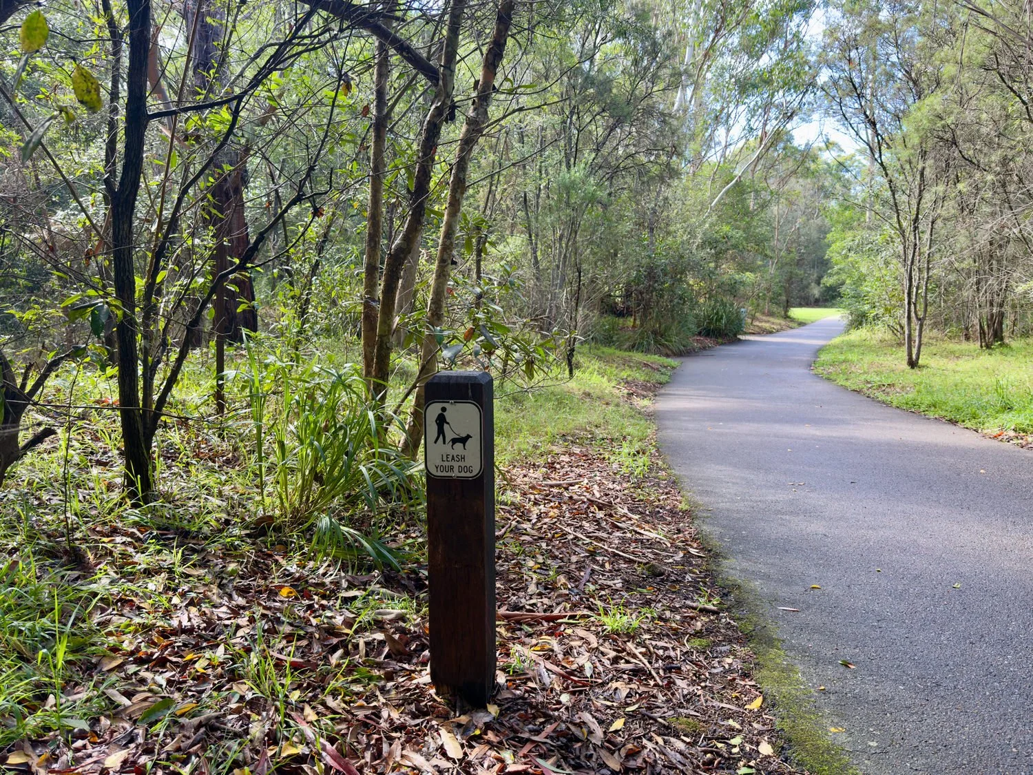
Dogs are welcome but must be on a leash; look for signed off-leash areas at Tunks Park
This is a lovely little bushland escape in the middle of a busy urban landscape. And it’s one of Sydney's best-kept secrets for a quick nature fix.
The Flat Rock Gully Walk takes about an hour (longer if you linger in Tunks Park), and it’s a favourite with locals, dog walkers and joggers. While there are a few rocky sections and some uneven ups and downs, it’s not a difficult walk by any means. The trail winds through creek-side bushland, parkland, and back into the bush again before emerging into suburbia.
And if you work up a sweat or appetite, you can finish it off with a swim at Willoughby Leisure Centre* or all-day breakfast and excellent coffee at the popular Incinerator Cafe.
WALKING THE TRAIL
Setting off from Willoughby Leisure Centre
From the car park, walk to the end of Small Street to reach the start of the trail.
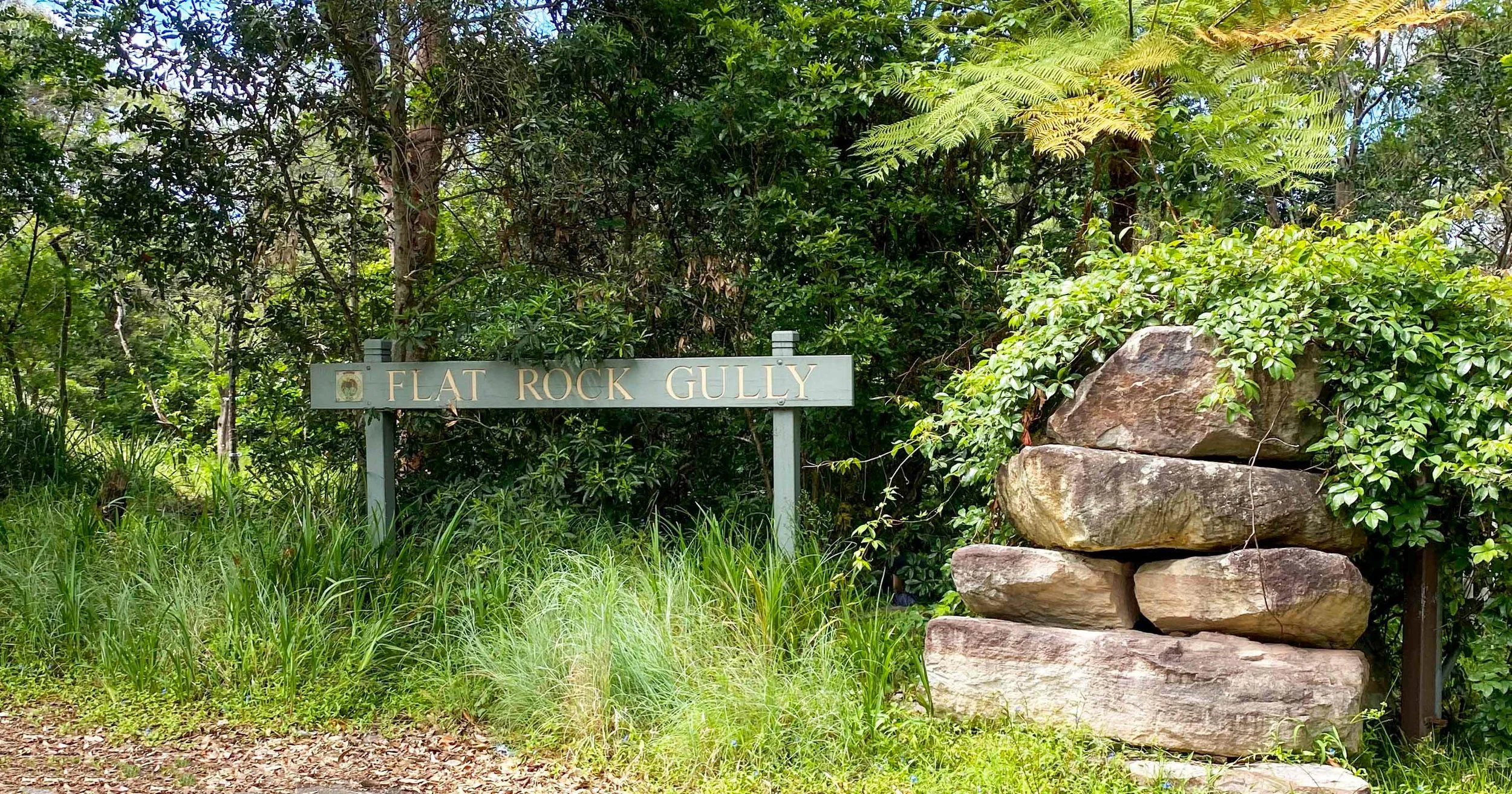
Here you’ll find a map and information about Willoughby Council’s walks app, which includes a guided tour of the area. You can download the app if you like, but it’s not essential — the trail is easy enough to follow with a bit of attention.
That said, a word of warning: signage isn’t great, and the path can be confusing in places. I’ve taken a couple of wrong turns myself. But if you do wander off track, you’re unlikely to be lost for long — and you’ll almost certainly run into a local who knows the way.
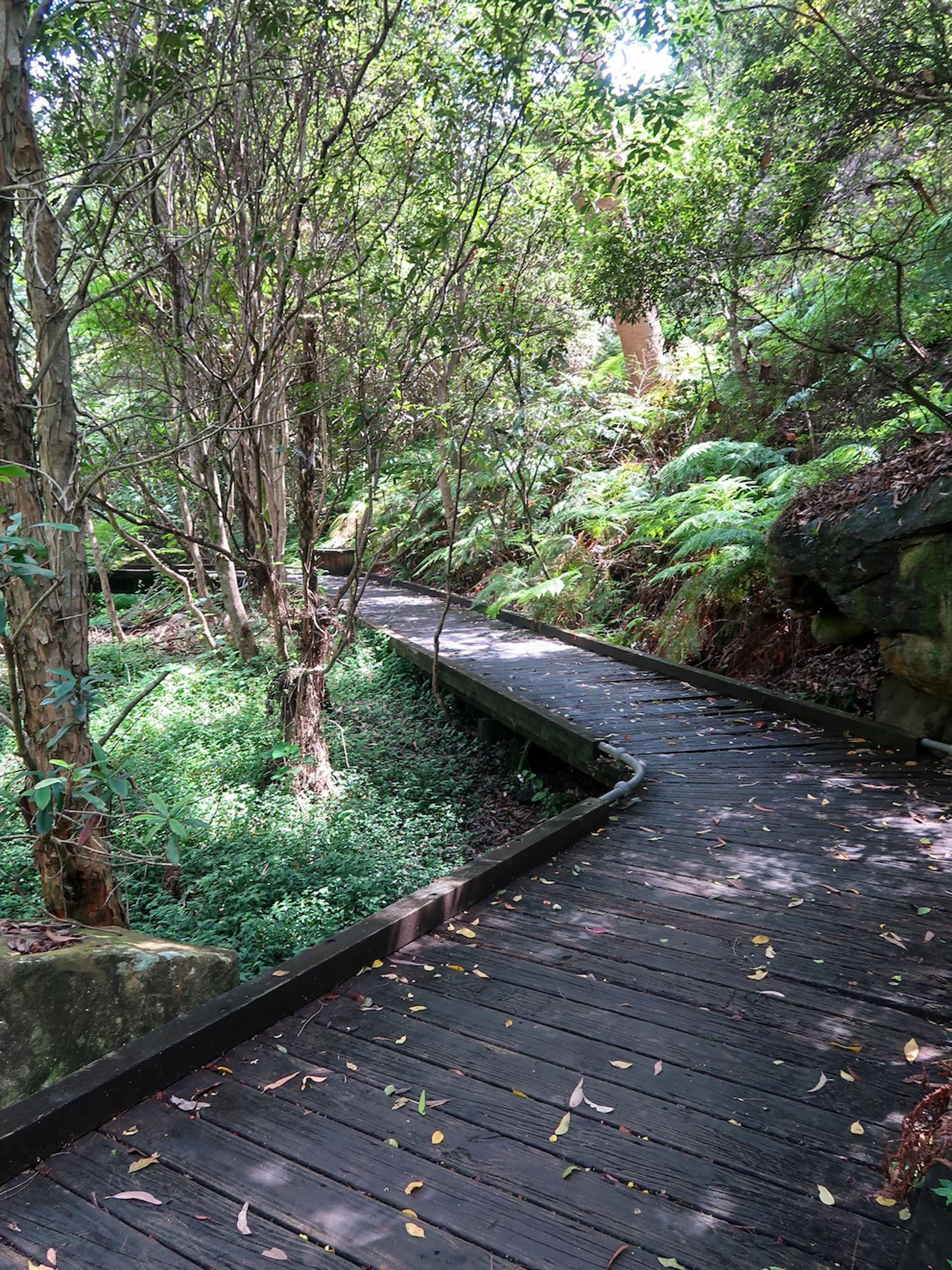
Walking through the gully
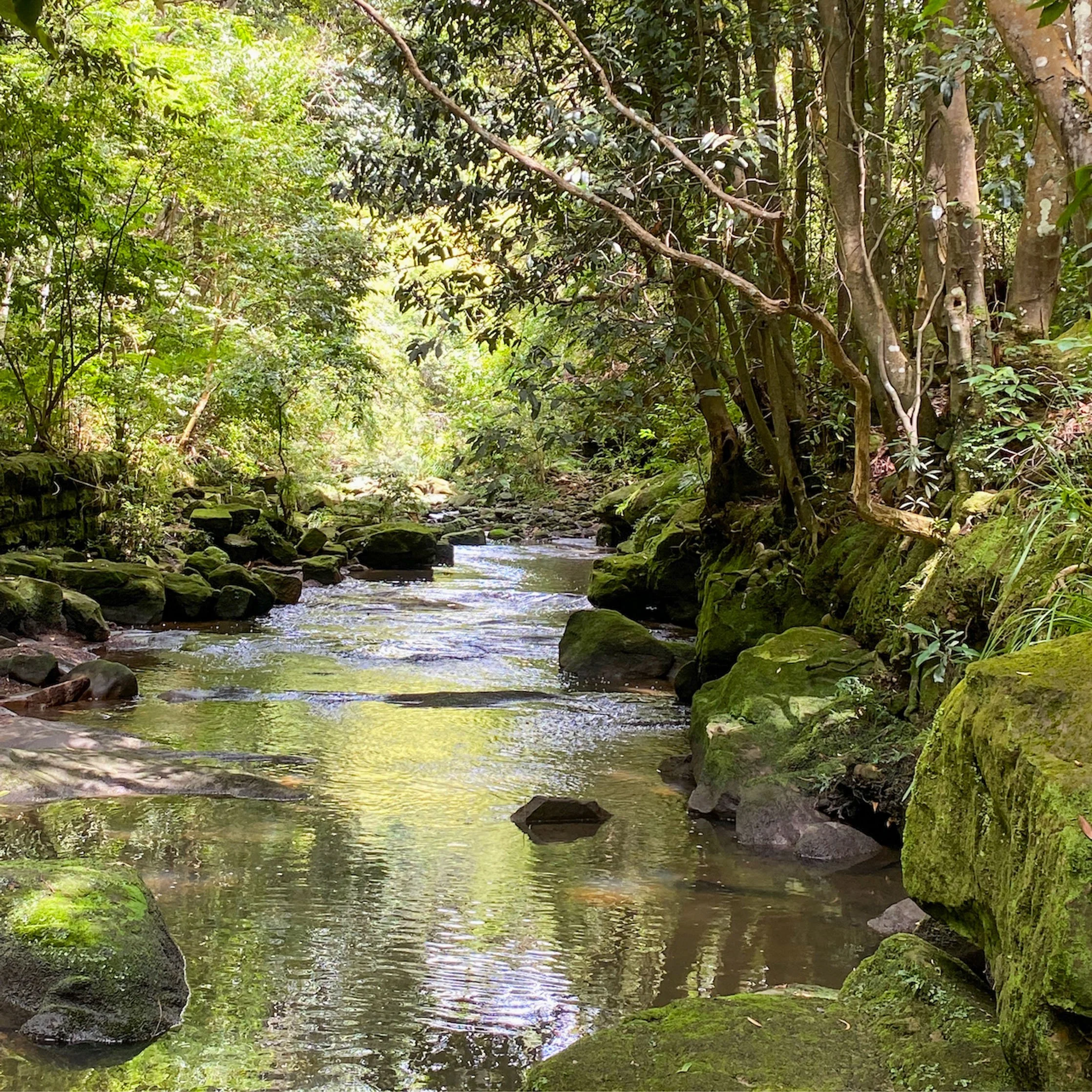
The track winds through shady bushland, under canopies of eucalypts and tree ferns, and past trickling waterfalls that become small cascades after rain.
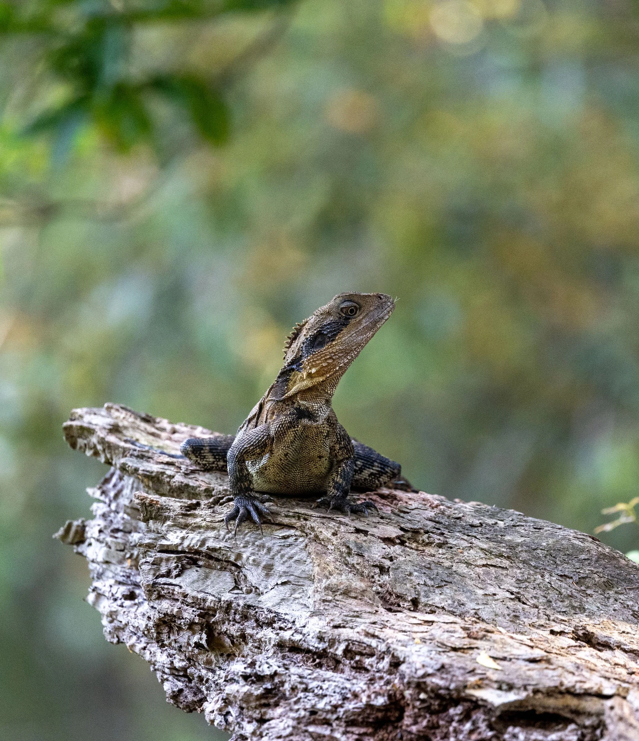
It’s noticeably cooler down here — a welcome relief on hot Sydney days. As you walk, keep an eye out for lizards along the path and near the creek beds. Eastern water dragons are commonly spotted near the water, while smaller skinks dart through the leaf litter.
Birdlife is abundant too, though you’re more likely to hear birds than see them. Listen for whipbirds, kookaburras and the calls of various honeyeaters and look up where you may be lucky to see one of the Tawny frogmouths and Powerful owls that are known to roost in the taller trees. Among the scrub I caught sight of some busy little fairy-wrens and other small birds flitting through the undergrowth.
Watch your footing as you go: tree roots, mossy rocks and uneven ground are common, especially after wet weather. There are a few rocky sections and gentle rises and falls, but nothing too challenging.
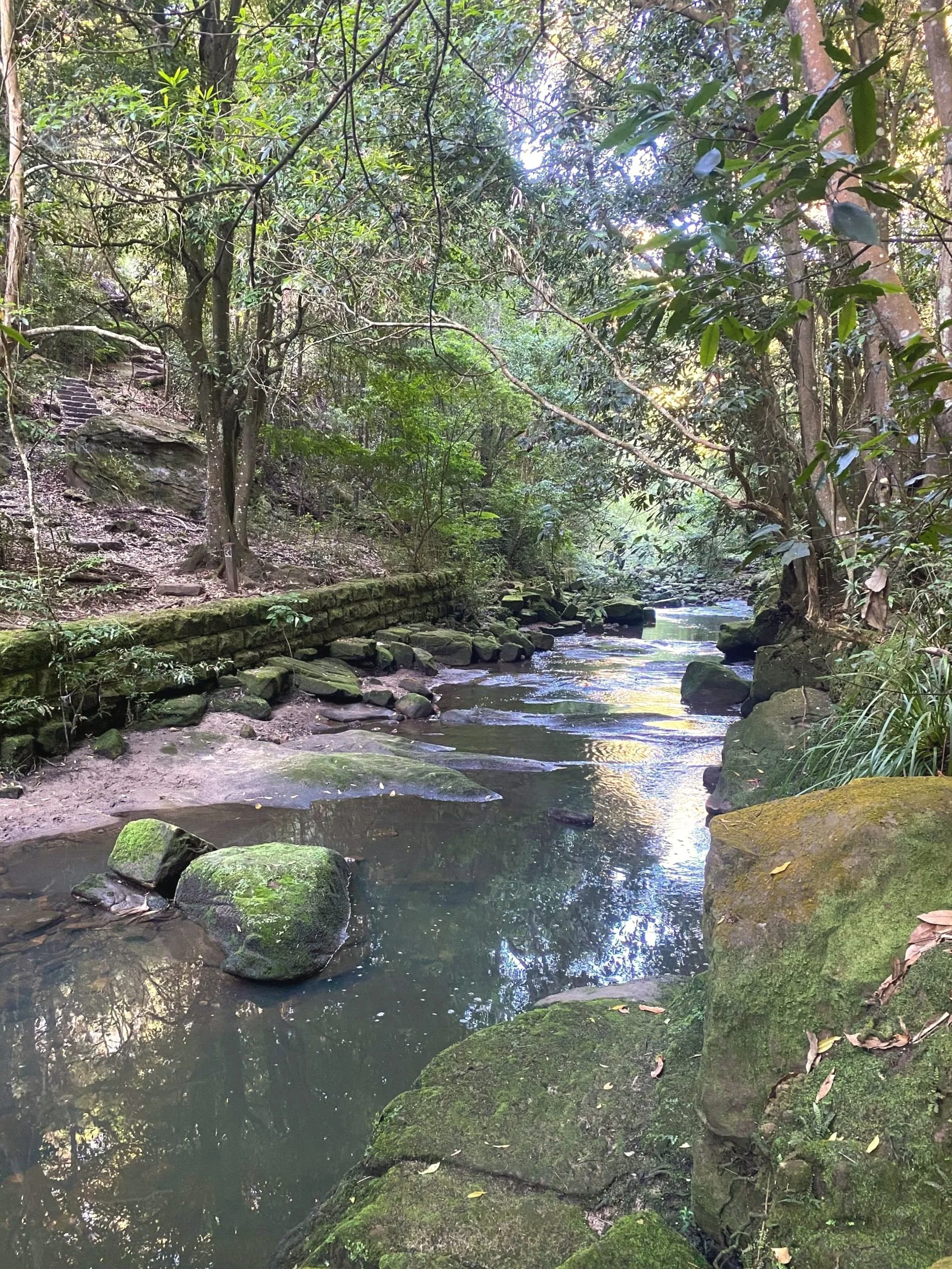
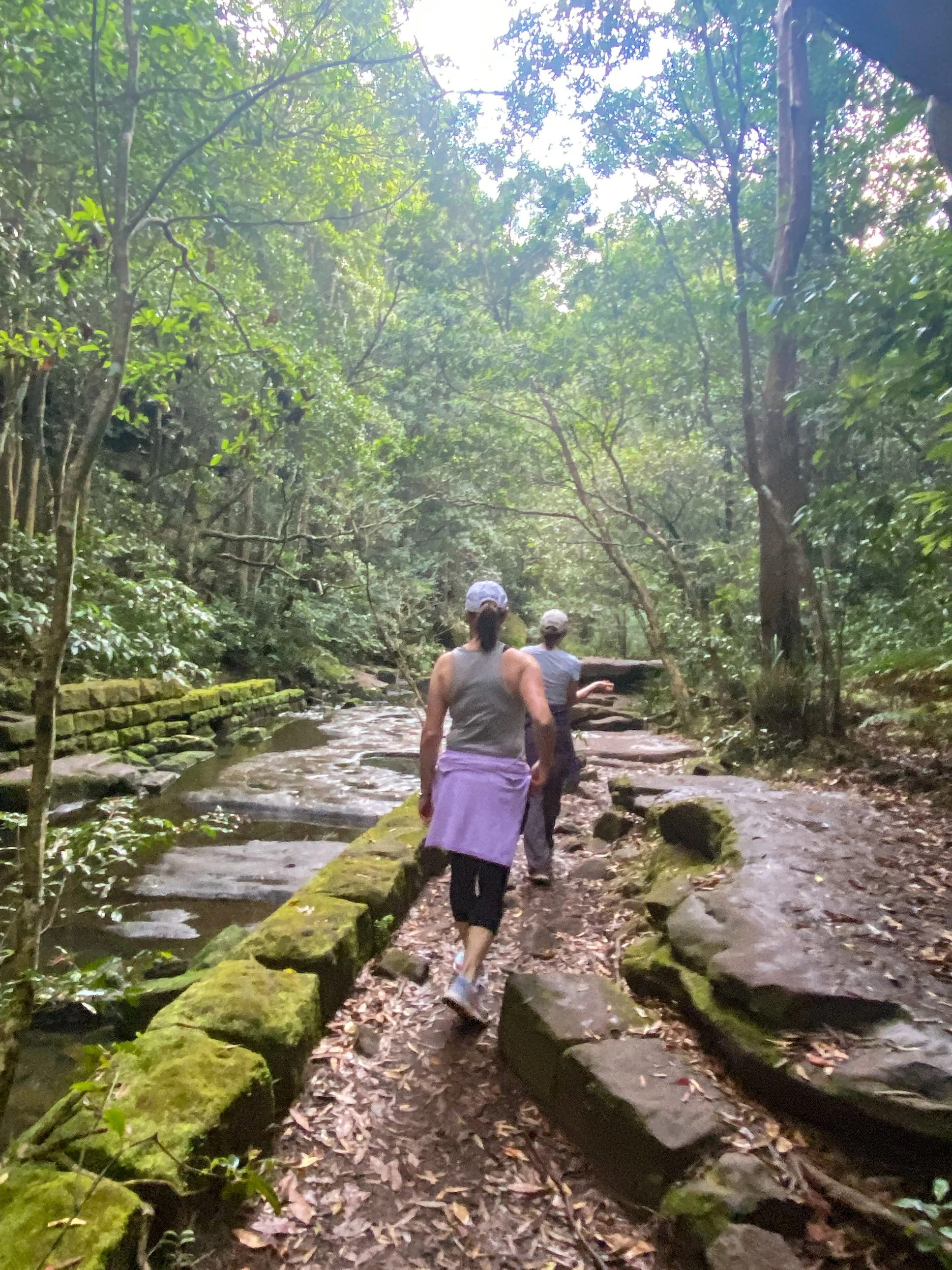
Creek crossings
You’ll cross back and forth across the creek a few times along the trail. These crossings add a sense of adventure, but the rocks can be slippery when wet, so take care.
The first crossing sits at a particularly beautiful low point in the gully, where filtered light sparkles on the water and the air feels fresh and cool. After crossing the flat rocks here, turn left and follow the path to a second crossing via stepping stones, continuing on towards Tunks Park.
Tunks Park and Long Gully Bridge
As you climb out of the gully, the path widens and the landscape opens into Tunks Park, a harbourside reserve with playing fields, boat ramps and an off-leash dog area.
Dominating the skyline above is Long Gully Bridge, a striking heritage-listed structure dating back to 1892. With its twin Gothic sandstone towers and decorative concrete arch, it’s an impressive sight from below though it does feel like something from another time and place.
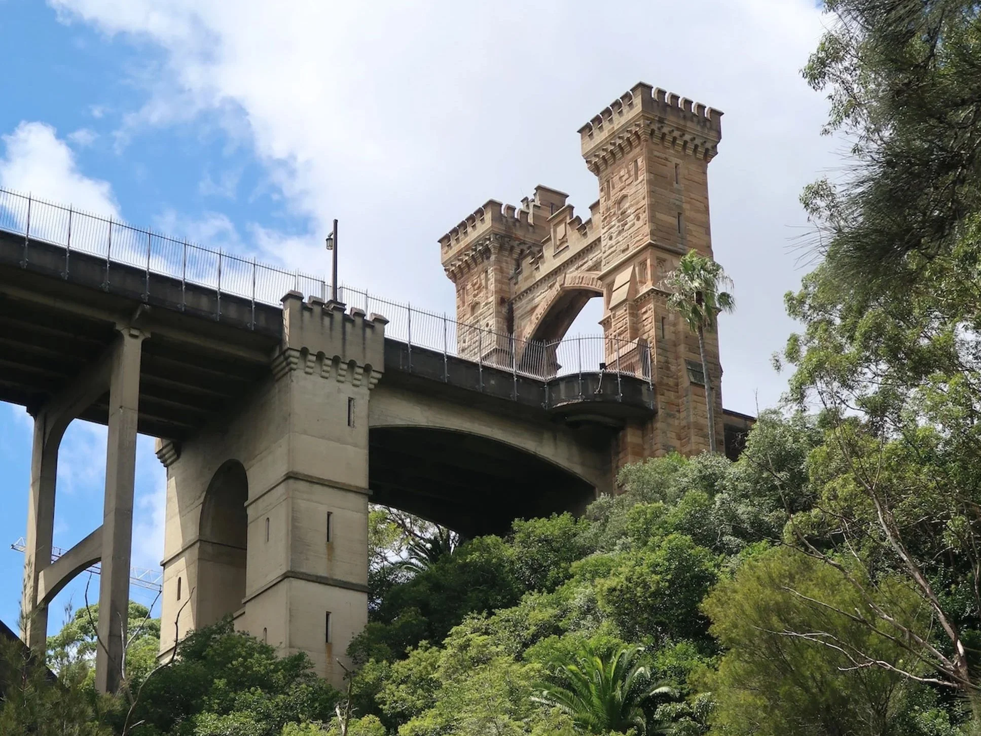
Long Gully Bridge
Tunks Park marks the turnaround point of the walk. You can wander down to the waterfront, visit the playground, or take a short loop through the off-leash area before heading back.
The return via Dawson Track
Head back toward the creek and cross the stepping stones again, returning to the flat stone crossing. Don’t cross back over the creek — instead, stay to the left and take the stairs leading to the path signposted as Dawson Track.
From here, the track becomes a little more winding and undulates gently as it climbs along the side of the gully. Navigation can be slightly tricky in this section, so it’s worth keeping an eye on the map to make sure you stay on track.
As the bush thins, follow the path to a set of stairs and onto a shared pathway. Watch for cyclists, particularly around the blind corner.
To finish: Hallstrom Park and Lawson’s Cave
Further along, a colourfully decorated underpass leads you beneath busy Flat Rock Drive and onwards toward Hallstrom Park skirting the playing fields and lower netball courts on the way.
As you walk, look out for Lawson’s Cave, a large rock overhang to the left of the path. Local lore has it that renowned poet and writer Henry Lawson slept here after visits to a nearby tavern. Lawson lived in the area in the early 1900s and was known locally for composing poems on cue in return for a drink.
From Hallstrom Park, it’s a short walk back to the Leisure Centre — or straight on to coffee at the Incinerator Cafe.
The Incinerator Café & Art Space
The Incinerator Café and Art Space sits on the site of a former council incinerator designed by Walter Burley Griffin in the 1930s.
The café has been operating since 2014 and has become a much-loved local hub. Its lofty interiors reference the site’s industrial past, with materials and colours chosen to echo the original structure. The spiky steel structure beside the café is the Exoskeleton Lift, a sculptural work by Richard Goodwin providing access to the art space below.
The café serves all-day breakfast, lunch and excellent coffee, while the council-run art space hosts rotating exhibitions across a range of media.
DIRECTIONS & ACCESS
Start & finish: Willoughby Leisure Centre (loop walk)
By car: There is plenty of parking at Willoughby Leisure Centre, unless netball is on — in which case, good luck. From the car park, walk to the end of Small Street to reach the trailhead.
By public transport: Bus routes 115 and 120 run from Chatswood Station Interchange, stopping within walking distance of the trail entrance.
Getting oriented: At the trailhead you’ll find a map and information about Willoughby Council’s walks app, which includes a guided tour of the area. The app isn’t essential, but signage can be confusing in places, so it’s worth keeping an eye on the map as you go.
THINGS TO DO WHILE YOU’RE HERE
- Tunks Park – Harbourside reserve with playing fields, a playground, boat ramps and designated off-leash dog areas.
- Long Gully Bridge – Heritage-listed bridge dating to 1892, featuring twin Gothic sandstone towers and an impressive decorative arch.
- Hallstrom Park – A popular local park with playground equipment, quirky iron and timber sculptures and open green space.
- Lawson’s Cave – A rock overhang beside the path where poet Henry Lawson is said to have slept after visits to a nearby tavern in the early 1900s.
- The Incinerator Café & Art Space – A much-loved local café and gallery housed in a former council incinerator designed by Walter Burley Griffin.
PRACTICAL TIPS
- Wear closed-in shoes or boots with good tread — rocks and creek crossings can be slippery.
- The trail can be muddy after rain; after heavy falls, give it a day or two to dry.
- Early mornings are best for wildlife and cooler temperatures.
- Bring water — there are no bubblers in the bush, though you may find one in the park.
- Insect repellent is recommended, especially in warmer months.
- Dogs are welcome but must be on a leash; look for signed off-leash areas at Tunks Park.
LAST UPDATED JANUARY 2026
*At the time of writing, the Willoughby Leisure Centre complex was undergoing renovation. The pool is due to reopen some time in 2026.