West Head Loop Track
-
A moderately challenging walk (with views and beaches) near West Head in Ku-ring-gai Chase National Park.
Distance 5 km Steps 8000
Time 1-2 hours Level of Difficulty Moderate -
Panoramic water views
Beaches
Wildlife
Wildflowers (seasonal)
Picnic area
Aboriginal history
-
Take plenty of water
$12 National Parks fee applies
Take note of toilets
Sunscreen and insect spray recommended
Allow extra time for the beach
Sturdy shoes or boots best
The track may be closed during extreme fire danger periods
Gates to West Head are closed from 8.30pm to 6am during daylight saving, and from 6pm to 6am the rest of the year.
This loop trail follows the Headland and Resolute Tracks through coastal bushland to a secluded beach in one of Sydney's most beautiful national parks. Along the way you’ll pass Aboriginal engraving sites and will likely encounter some of the local wildlife.
We did this walk recently on a seemingly mild autumn day that got hot quickly. We forgot our water which was a big mistake as it meant we had to abandon the planned side trip to Mackerel Beach which you’ll see on the map.

Getting to West Head
The walk begins and ends at the West Head lookout in Ku-ring-gai Chase National Park, about 25 kilometers north of Sydney's CBD. Follow the signs from Mona Vale Road to McCarrs Creek Road, then continue on to West Head Road until you reach the West Head lookout car park. Entry to the park is $12 per vehicle per day.
As you drive into and through the park, be sure to keep an eye out for cyclists and wildlife on the winding road.
The Trail
The journey begins with a well-marked path from the West Head lookout. As this is a loop you can walk in either direction. We went anti-clockwise so we could leave the beach visit to near the end of our walk. But if you’d rather get to the beach sooner, go clockwise. You could also start the walk from the Resolute Picnic area where there are toilets and barbecue facilities.

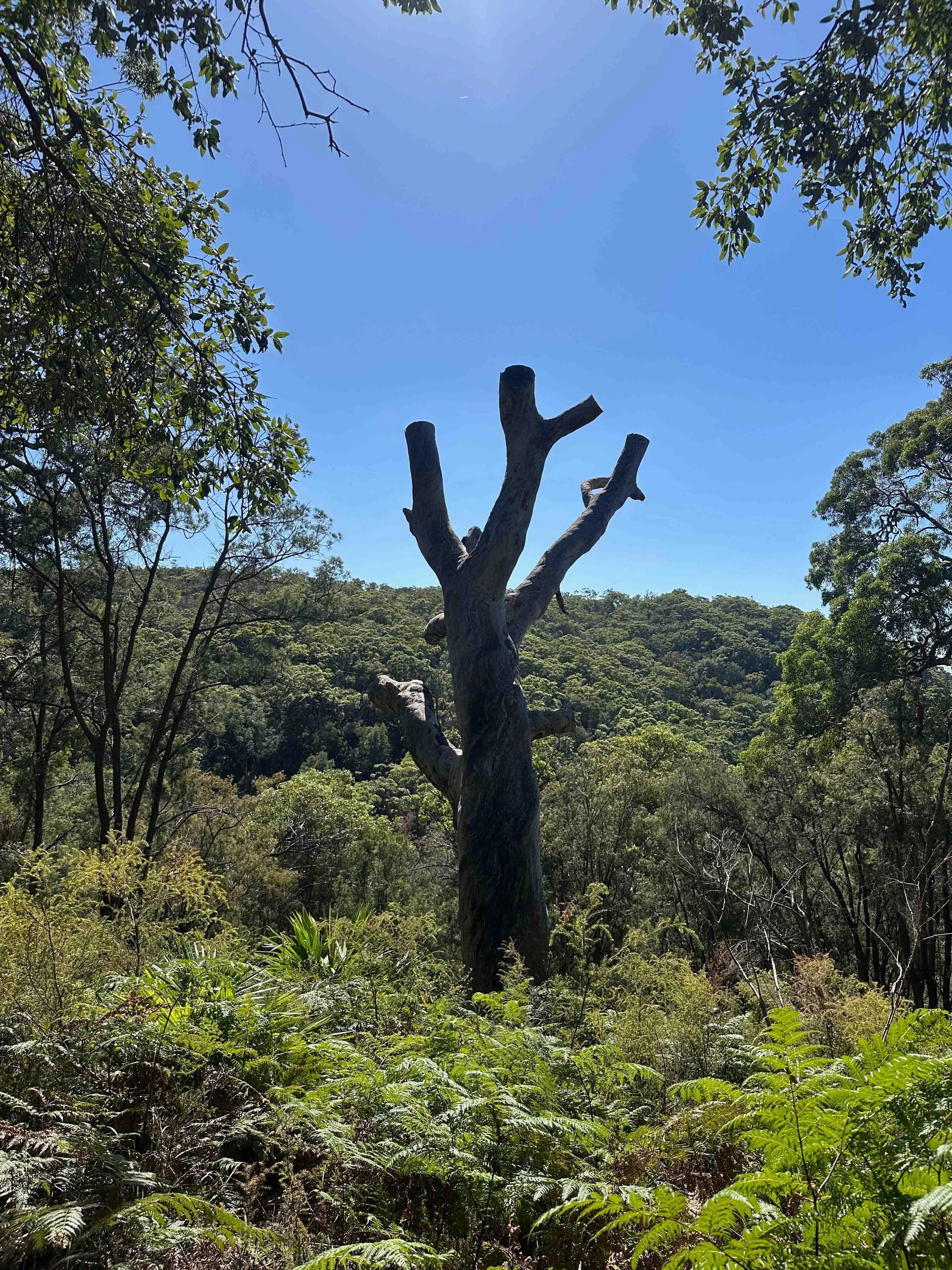

Going anticlockwise, take the trail that winds through eucalypt forest to the the West head Service trail with optional diversions to the Resolute Picnic Area and Red Hands Cave.
Continue along the West Head Service Trail looking out for the rock shelf clearings that feature other significant engraving sites.
The service trail soon loops around to the left where it becomes the Headland Track which will take you back among the trees and to the steep descent leading down to Resolute Beach.
Around this point you have the option to add an out and back side trip to Great Mackerel Beach. I’m told this is a challenging route so come prepared with water and good shoes.
Returning from Resolute Beach, continue along the path past a small waterfall. The trail here is not so well sign-posted though its hard to get lost if you keep those pretty filtered water views on your right.

As you near the end of the loop, you’ll see a path leading down to West Head Beach, another pretty, secluded spot. Head back up to the lookout to close the loop.
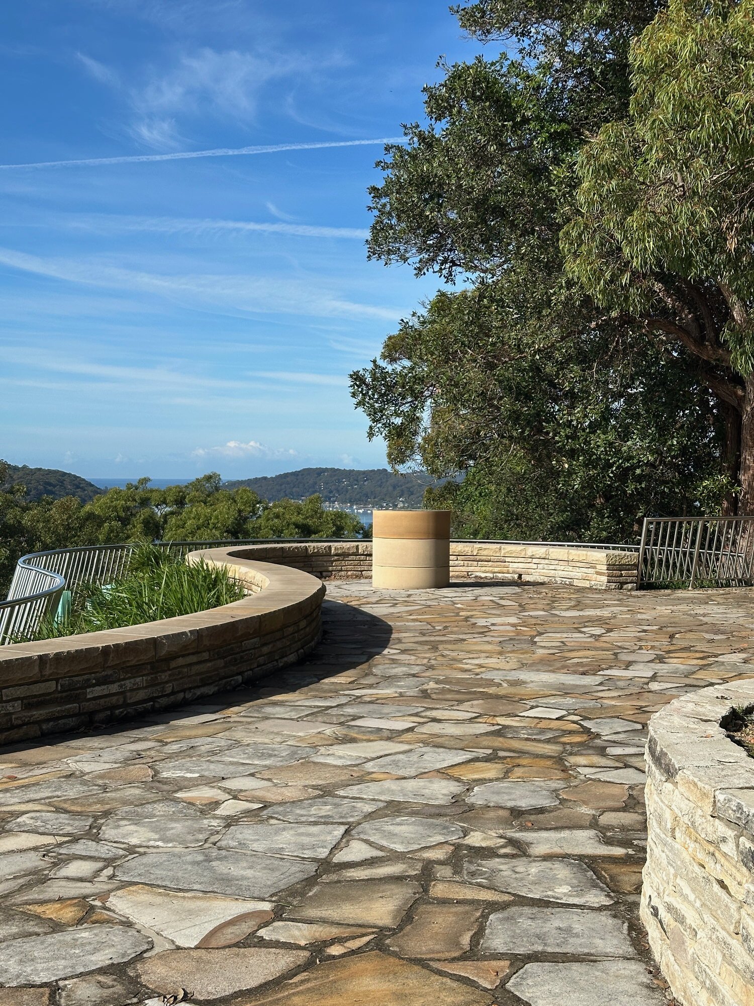
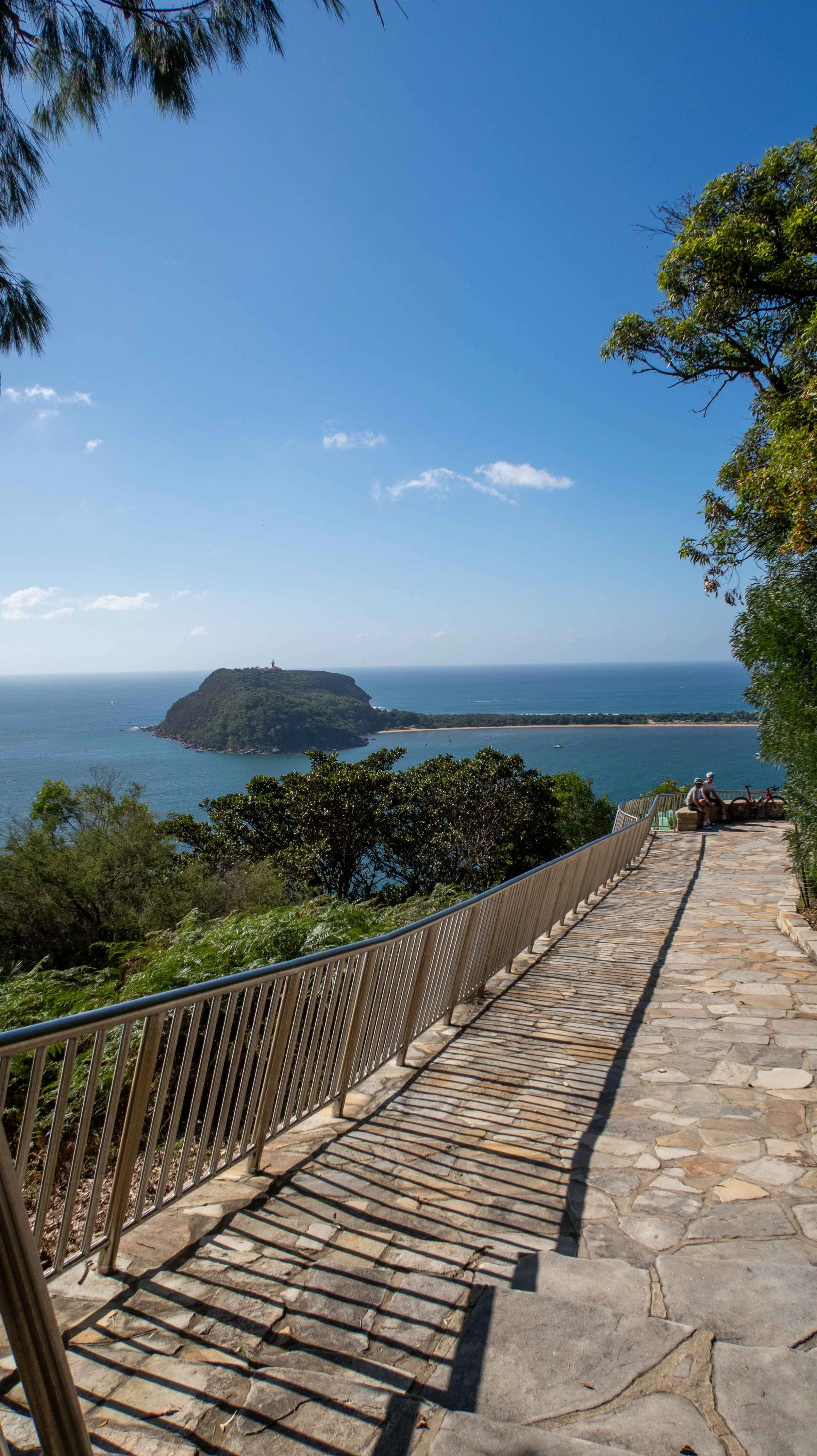
Take a seat at the viewing area to enjoy all that is laid out before you.

Highlights & History
Views
The views from West Head are spectacular. The lookout presents a panorama of Broken Bay, with Palm Beach to the east and the Central Coast to the north; Broken Bay on your left, Pittwater on your right and Barrenjoey Headland and Lighthouse in front. (If you haven’t done the walk up to the lighthouse, add it to your list.)


Beaches
Resolute Beach is a pristine stretch of sand accessible only by this track and it’s a great place to stop for a rest, and have a swim, snorkel or picnic.
If you’re walking on a quiet day you may have the place all to yourself. Its easterly aspect means it looks out over the calm waters of Pittwater to Barrenjoey Headland.


West Head Beach is smaller but equally charming though the track down and back up is steeper and may be a little more challenging.
Aboriginal Heritage
Long before the arrival of European settlers the Darramuragal or Darug people lived in this area*. Scattered throughout the park are several significant sites, including rock engravings and middens that offer glimpses into their rich cultural heritage. You’ll see some of these on this walk.
Red Hands Cave is a small rock overhang near the Resolute Picnic Area. The red hands are made by ochre or clay blown over outspread hands. While the age of the prints are unknown, they, and the engraving sites you’ll see in the clearing further along the track, are a significant reminder of the people who fished and hunted in the surrounding waters and harvested food from the bushland you walk through.

Engravings on a rock shelf overlooking Pittwater
European History
The Resolute Track and Beach are named after a 64 tonne schooner that ran aground here in 1877.
During World War II, West Head played a strategic military role, with the West Head Battery established to protect the northern approaches to Sydney. You may see an old gun emplacement on your return journey to the lookout and you can see more of the battery by taking the West Head Army Track, the start of which is located right near the lookout. This out and back track is short but steep and challenging in parts, but it’s certainly worth a visit if you have an interest in military history.
Wildlife
Goannas are commonly spotted near the lookout and picnic area, no doubt foraging for scraps. Also known as monitor lizards, goannas can be quite large and though they may look scary, they are usually harmless and more scared of us than we are of them.
Sea-eagles, Kookaburras, and Cockatoos may be seen or heard at West Head, along wth about a hundred other bird species, Honeyeaters, Whipbirds and Wattlebirds among them. On your walk , if you’re lucky, you may even spot the elusive Lyrebird.


Best time to visit
West Head is a great spot to visit year round, but autumn and spring are usually best for walking as the temperatures are more moderate. In late winter and early spring, random wildflower displays add extra colour to the trail.
The track is closed during extreme fire danger periods (usually in summer), so check the NSW National Parks website before setting out.
As for time of day, early is best, before the crowds and the noise arrive and the car spaces fill.
In the Area
This is just one of many walks in Ku-ring-gai Chase and the surrounding area.. Nearby you’ll find the Basin Trail which leads down to the Basin Picnic Area and Campground, and a beautiful swimming hole. A little further afield but still in this park is the Sphinx Trail to Bobbin Head.
Across the water of course is Barrenjoey Headland and the walk up to the lighthouse is a must do.
*Previously thought to be a group known as Guringai though more contemporary research suggests that this was not the case.