
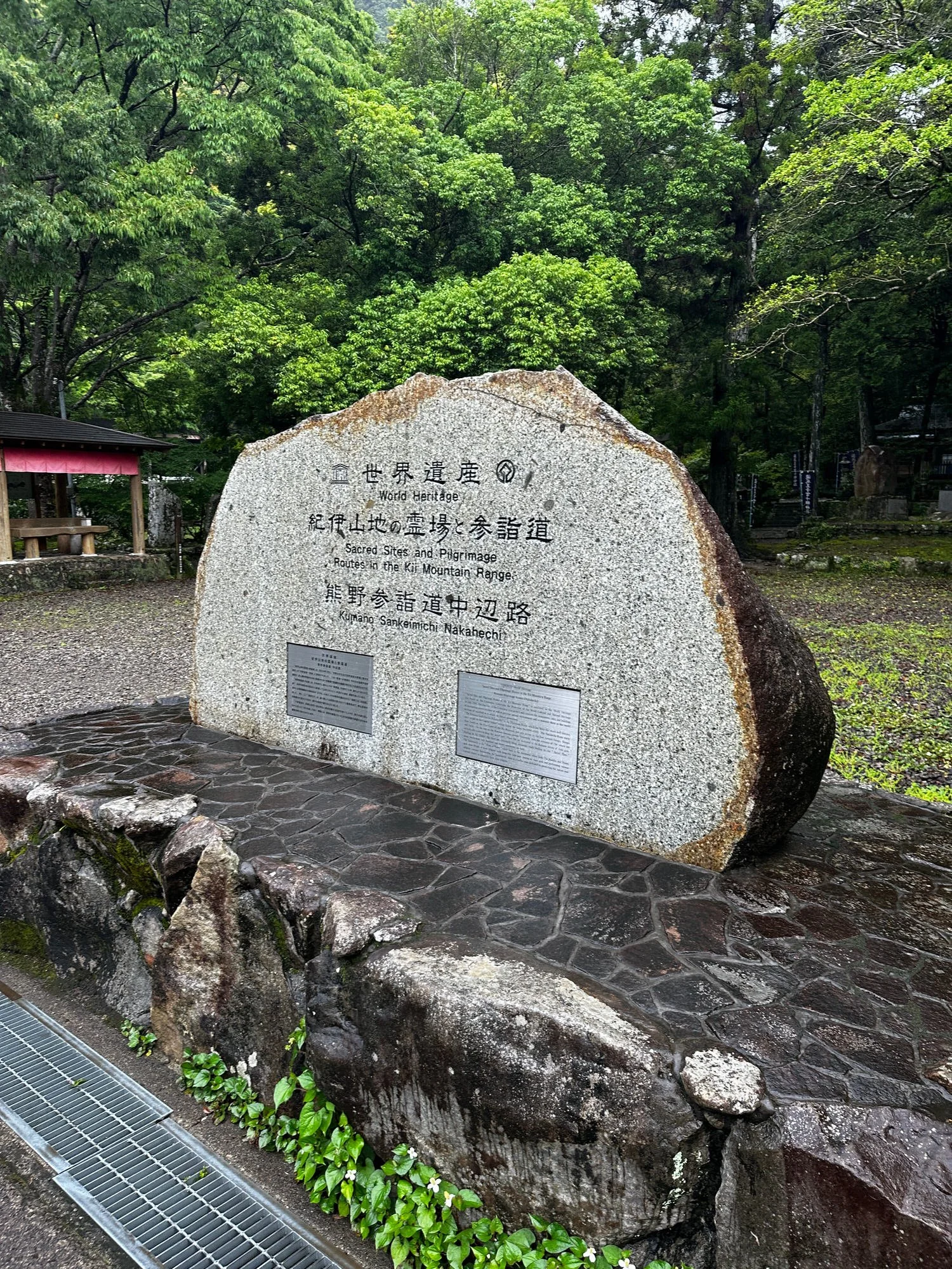
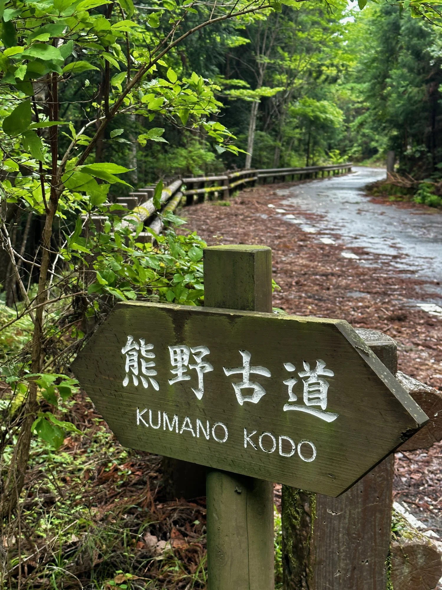
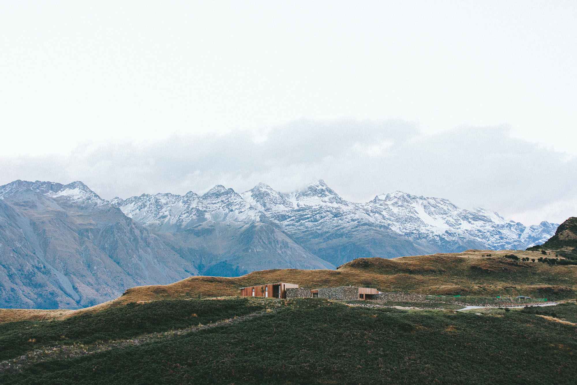
Kumano Kodo Trail
You’ve probably heard of the Camino but may not have heard of this one
Both are pilgrimage trails and both have a UNESCO World Heritage listing. Both are multi-day walks with various route options.
KK is a series of pilgrimage trails that wind through the mountains of Wakayama and rural countrysides.
For centuries, The Kumano Kodo has been tread by pilgrims seeking enlightenment, solace, and a connection to nature. Many still walk the route as pilgrims recording their journeys iwith a series of stamps collected in a passport along the way.
Overview
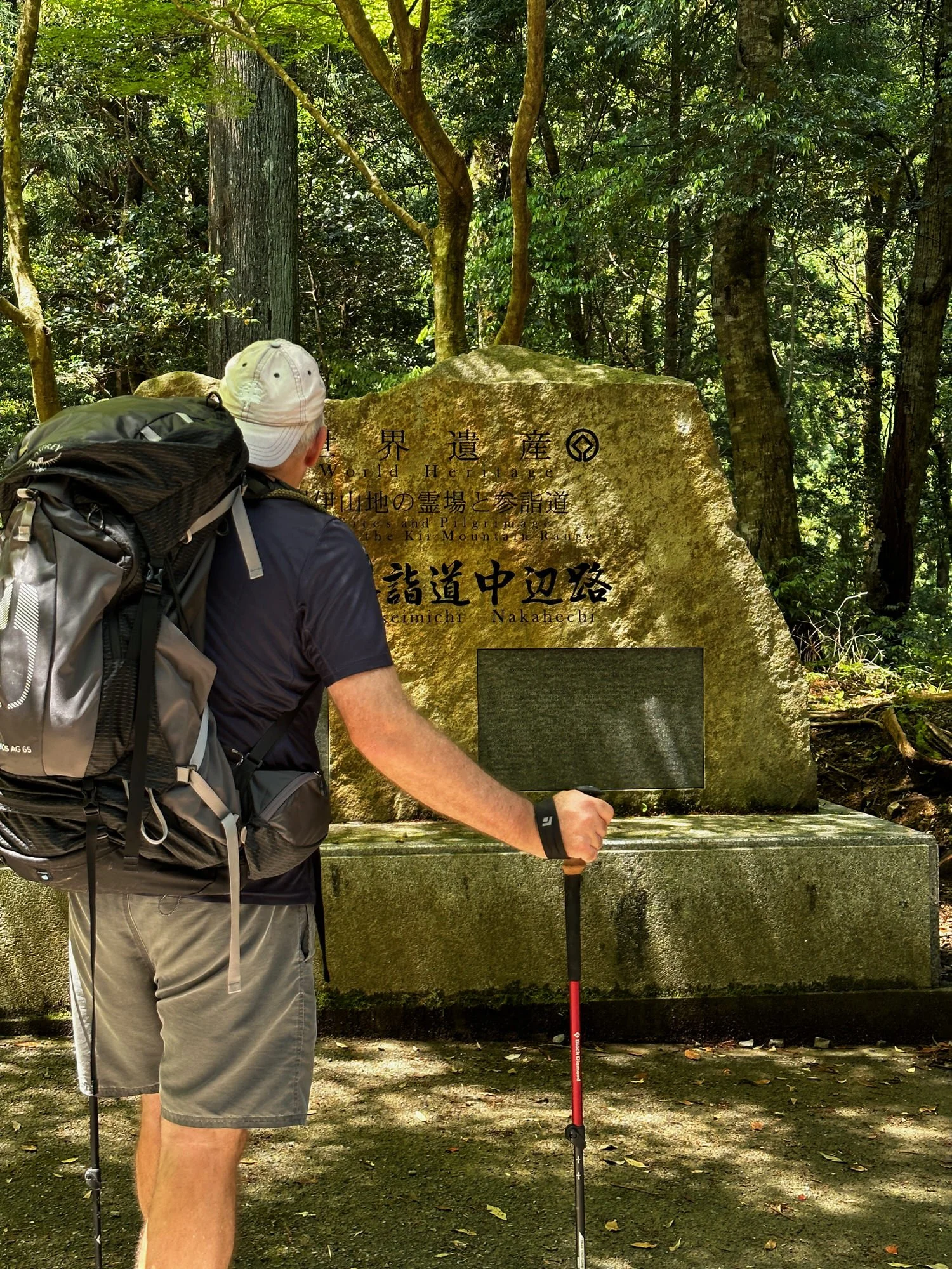
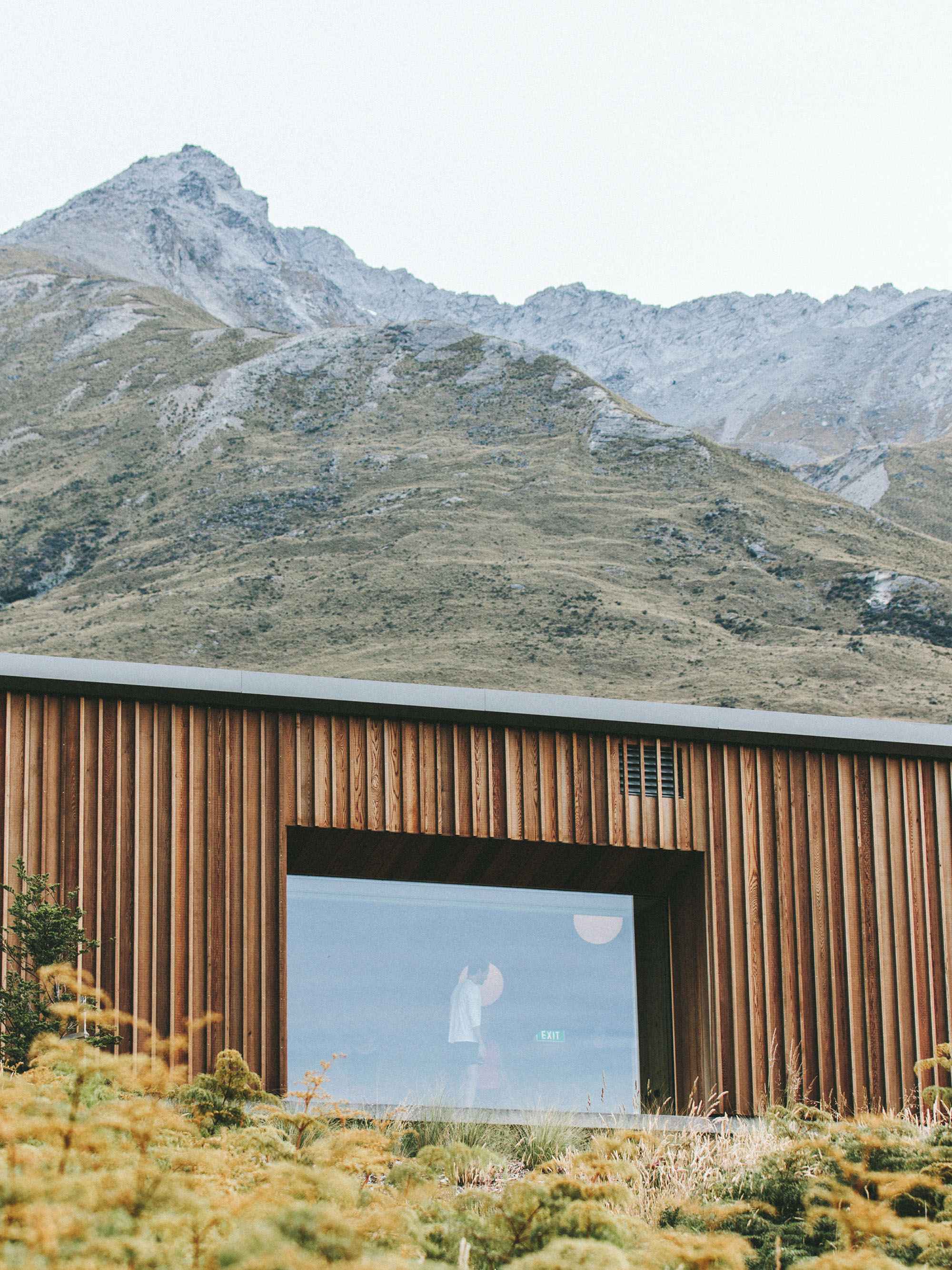
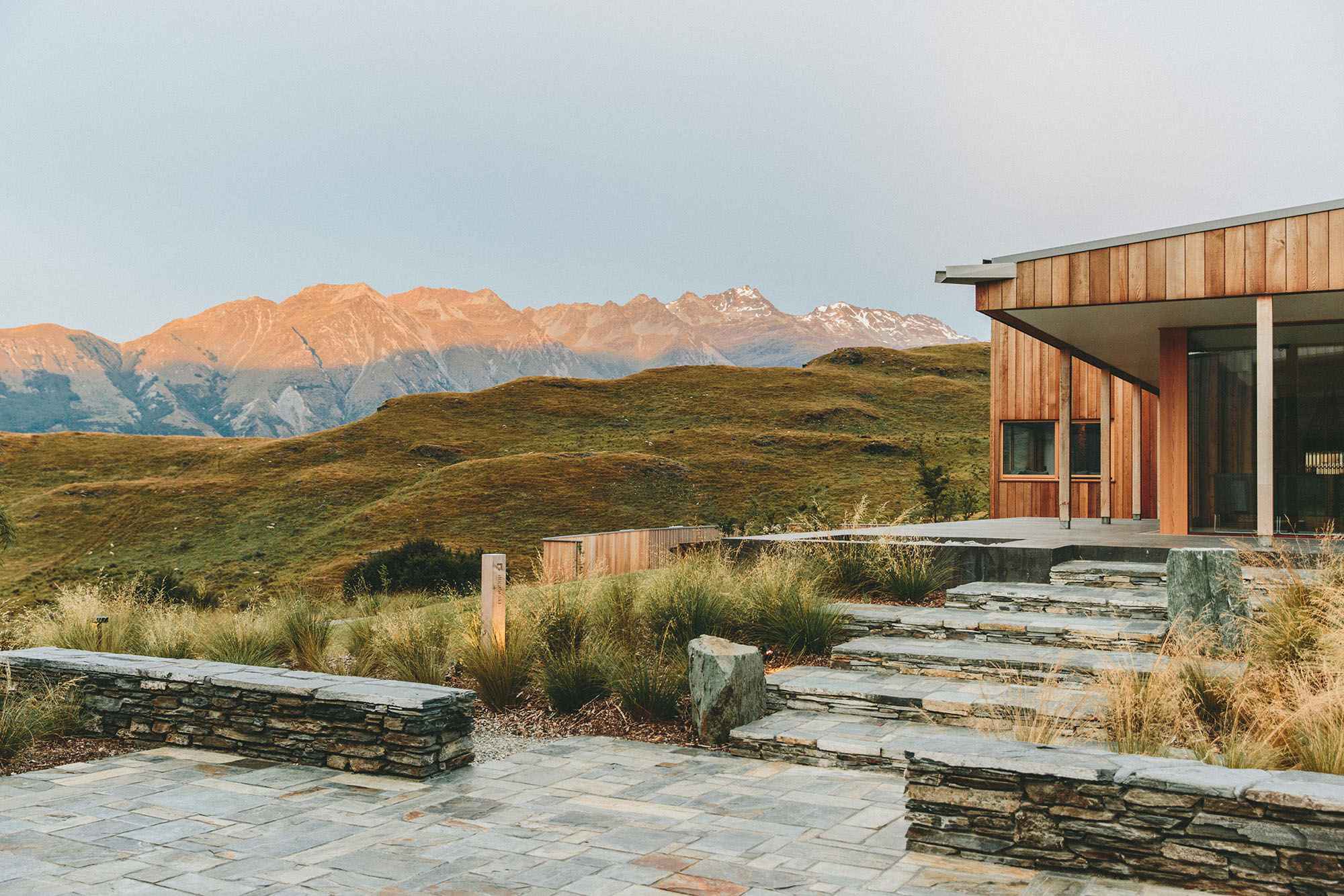
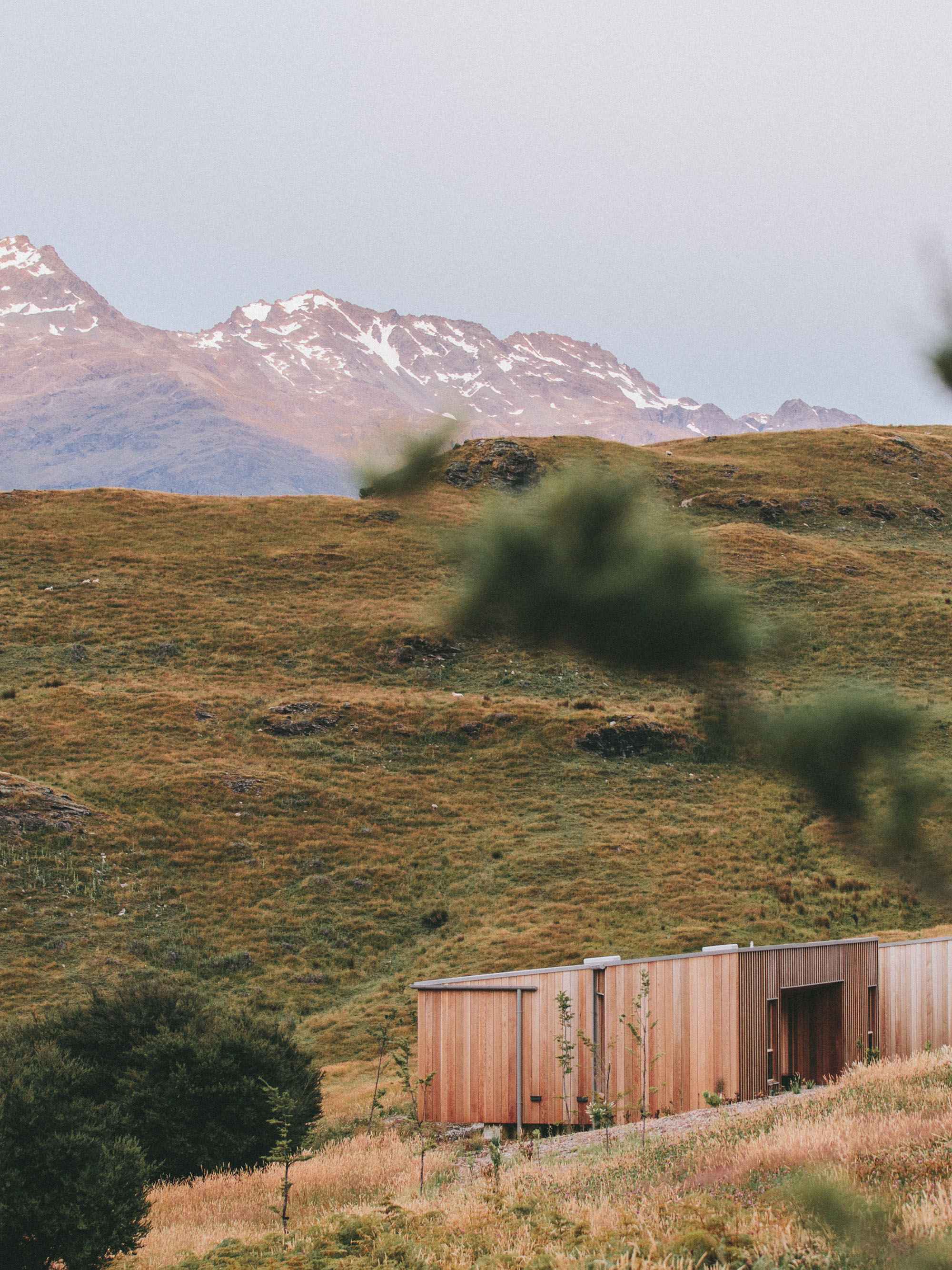
There are five routes on the Kumano Kodo leading to the three Grand Shrines of Kumano. Nakahechi route is the one most popular with travellers today and this is the one we took over five days, stopping at night in traditional lodgings.
Everyon’ejouney wlll vary depending on te route they take, the time of year and the accommodation they’ve booked. I’ve described ours in a day by day below.
The Nakahechi begins in Tanabe on the western coast of the Kii Peninsula and traverses east into the mountains. There are suggested routes and those most commonly travelled and buses a=will take you between these. but there are options to mix it up with shorter or longer walks depending on the weather or
Depending on teh paths you choose - We walked the main Nakahechi route
The Nakahechi route starts from Tanabe on the western coast of the Kii Peninsula and traverses east into the mountains towards the Kumano grand shrines. Multi-day walks are popular along this route
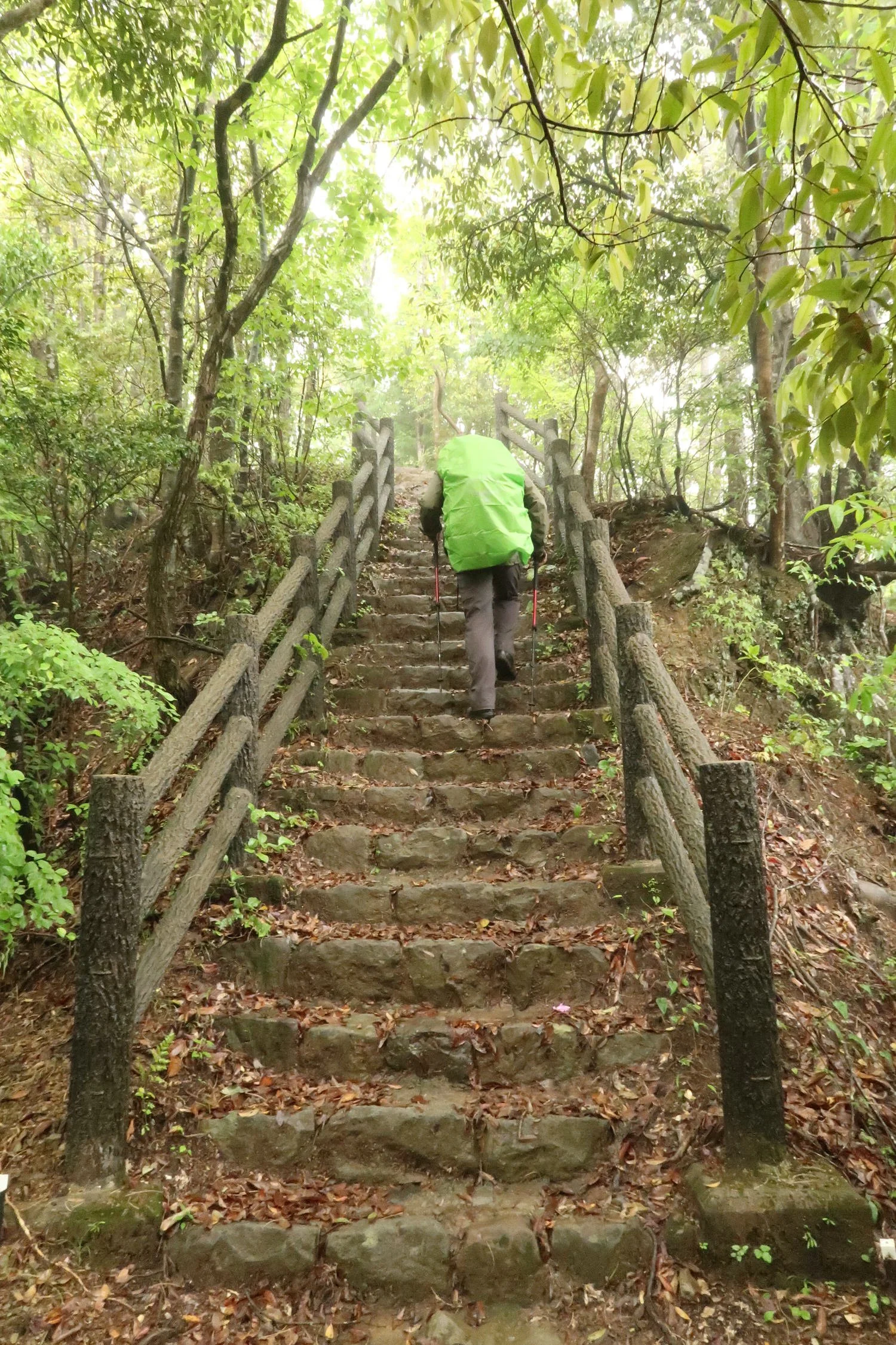
This is a hike, not a stroll, so you’’ need to gave a decent level of fitness, and a good pair of walking boots
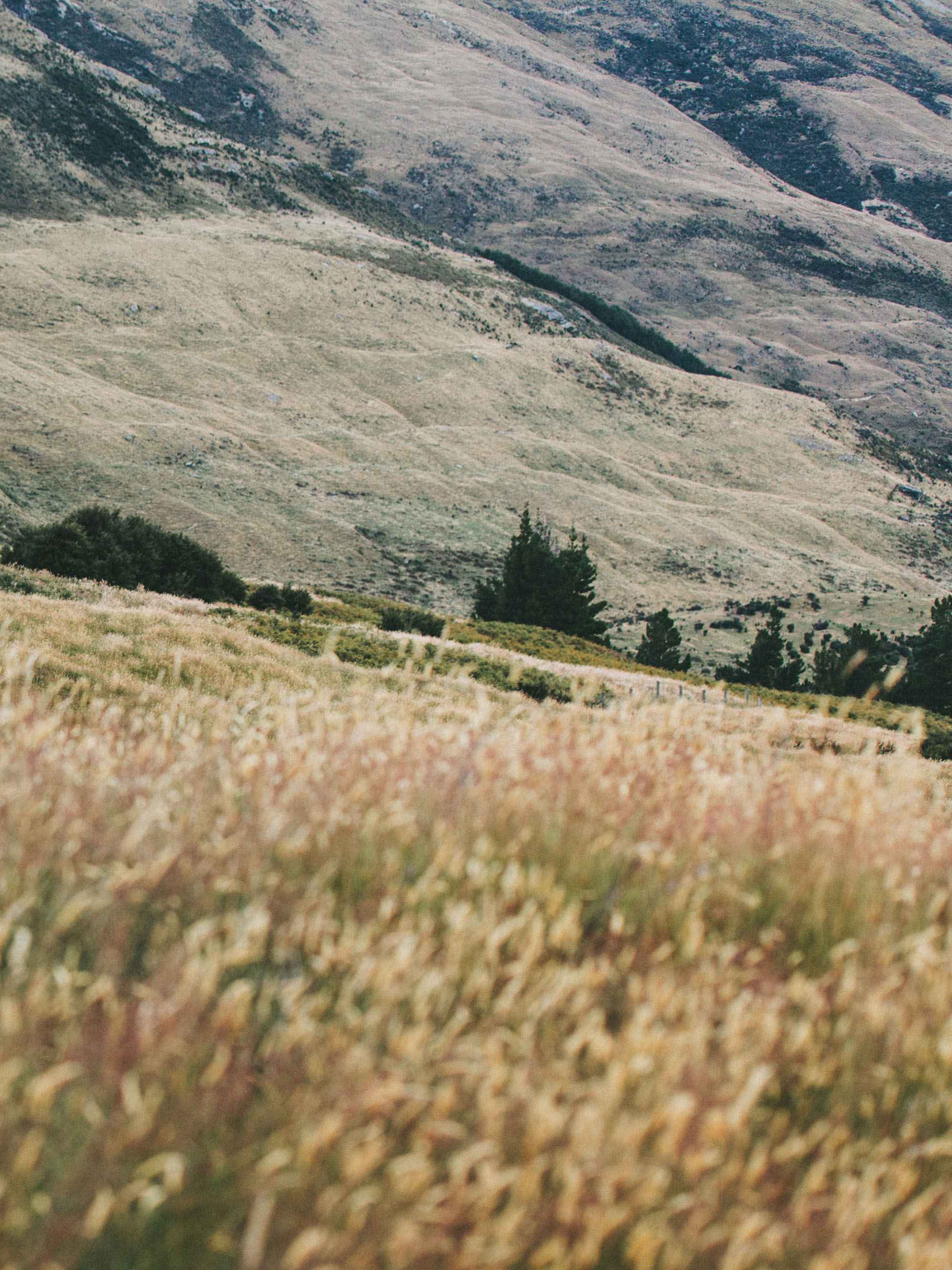
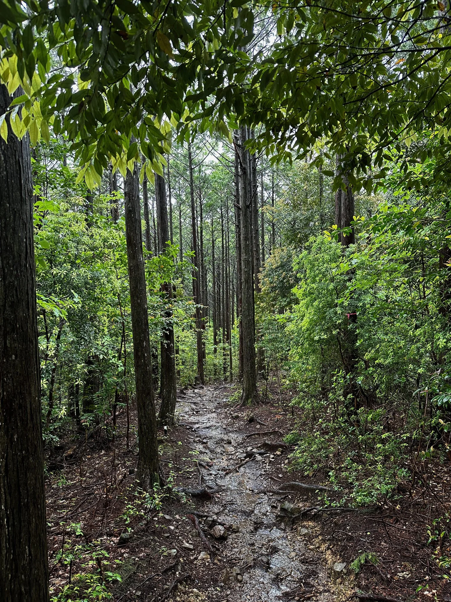
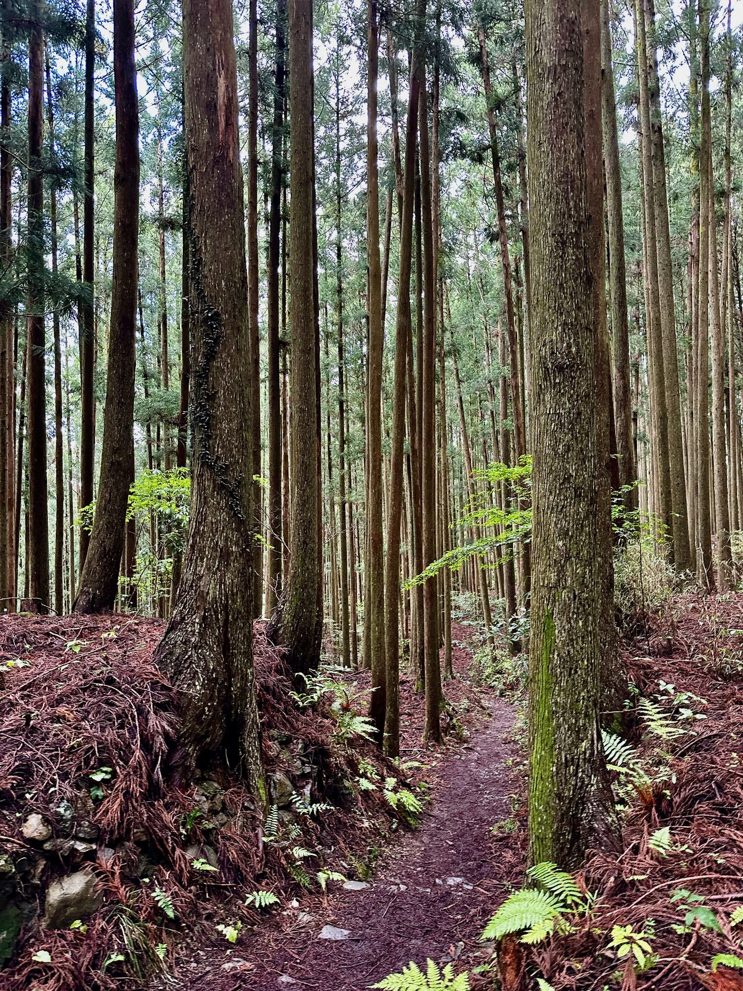
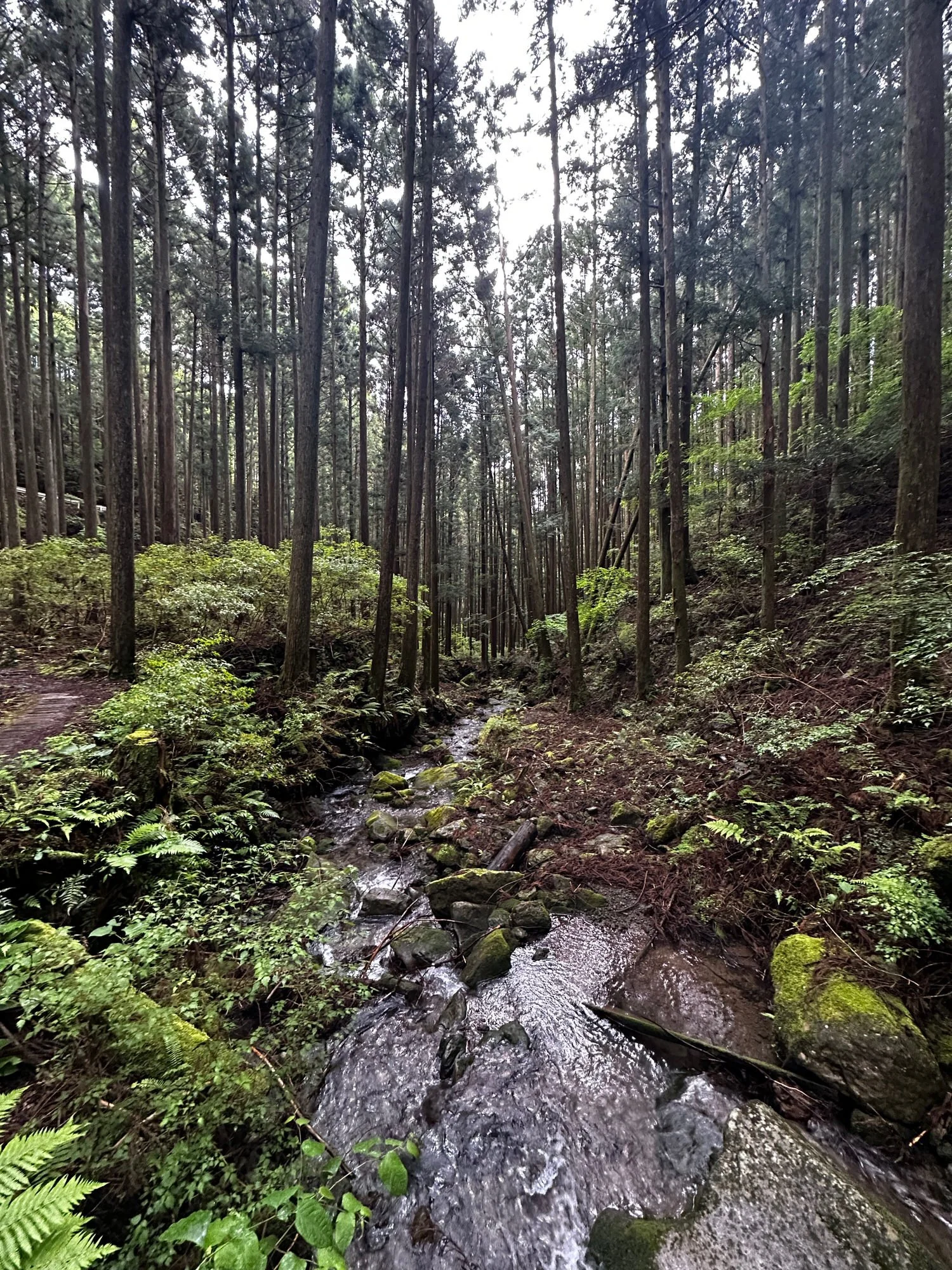
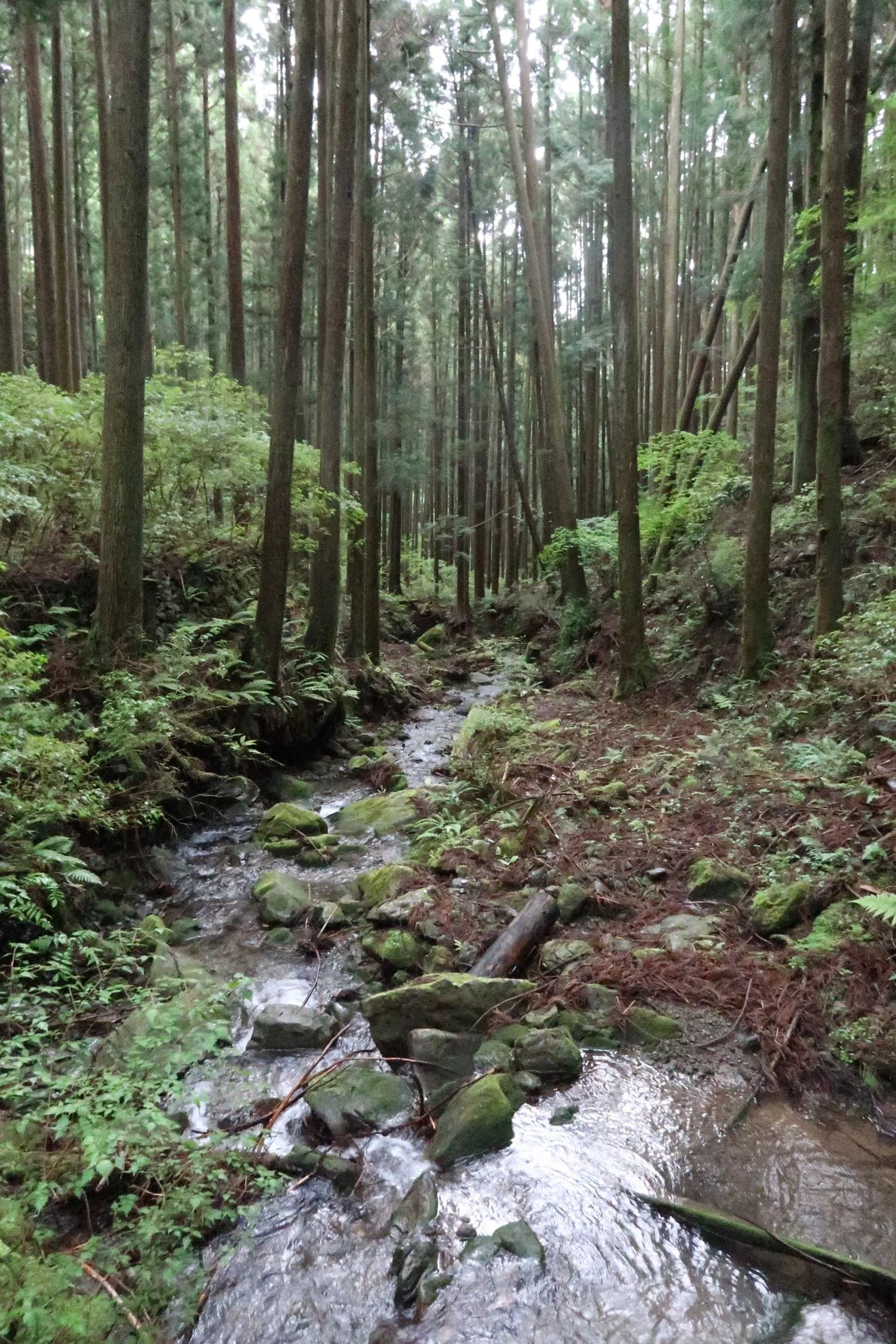
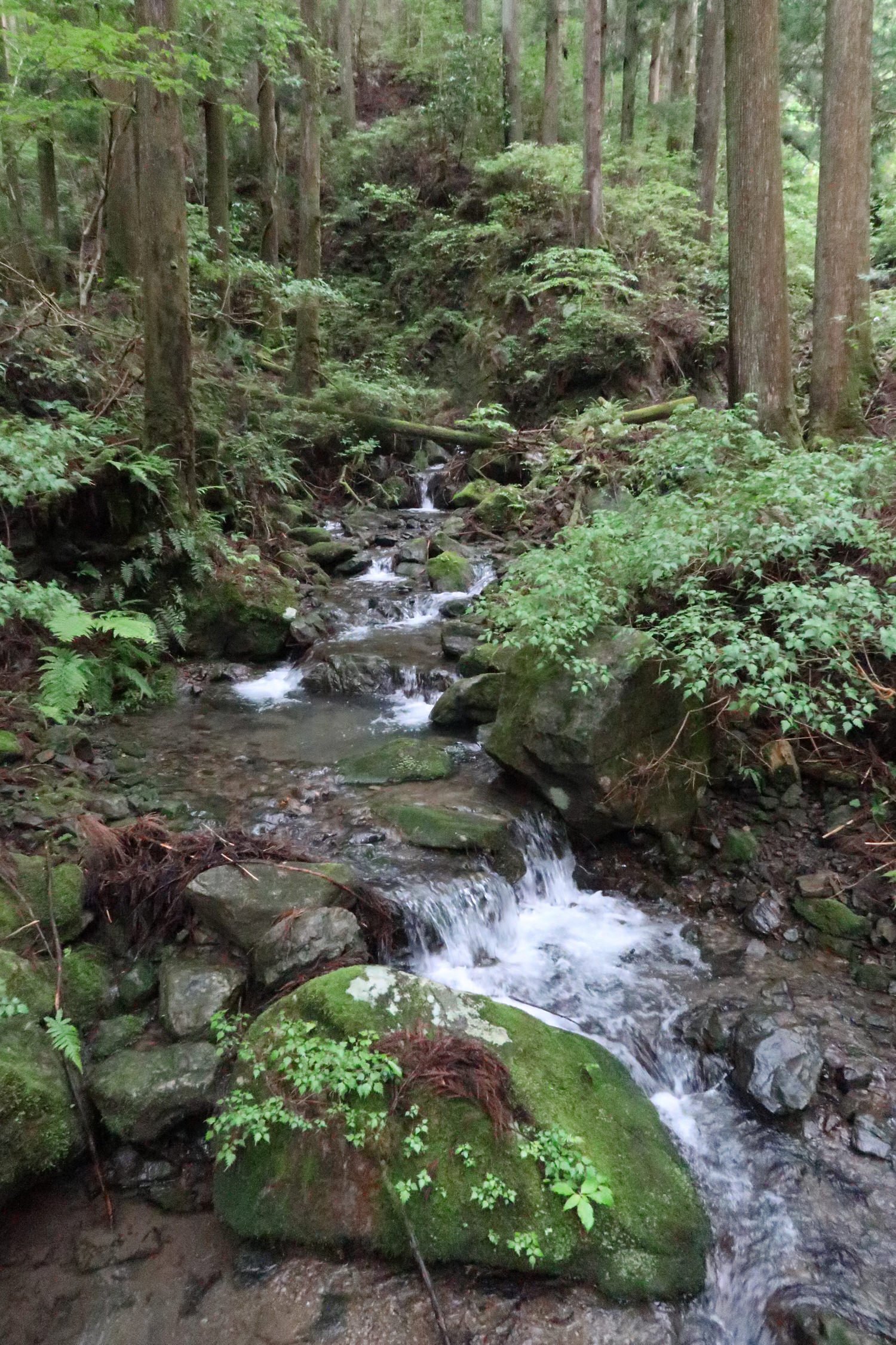
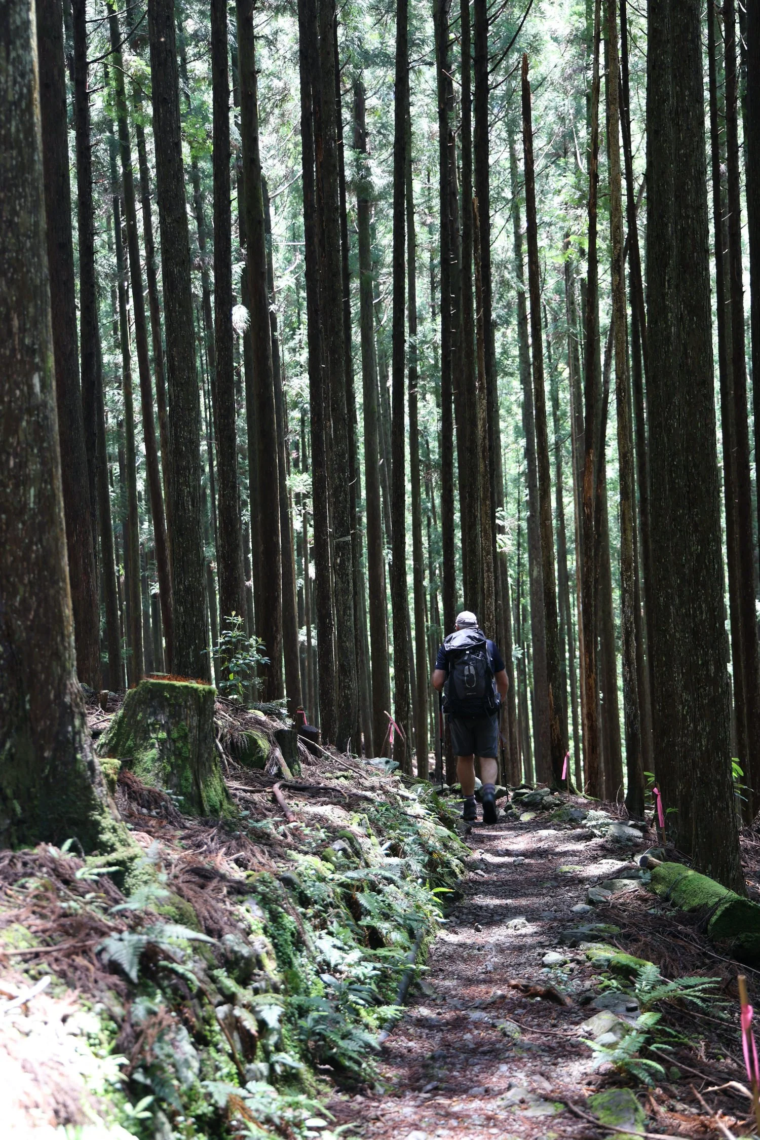
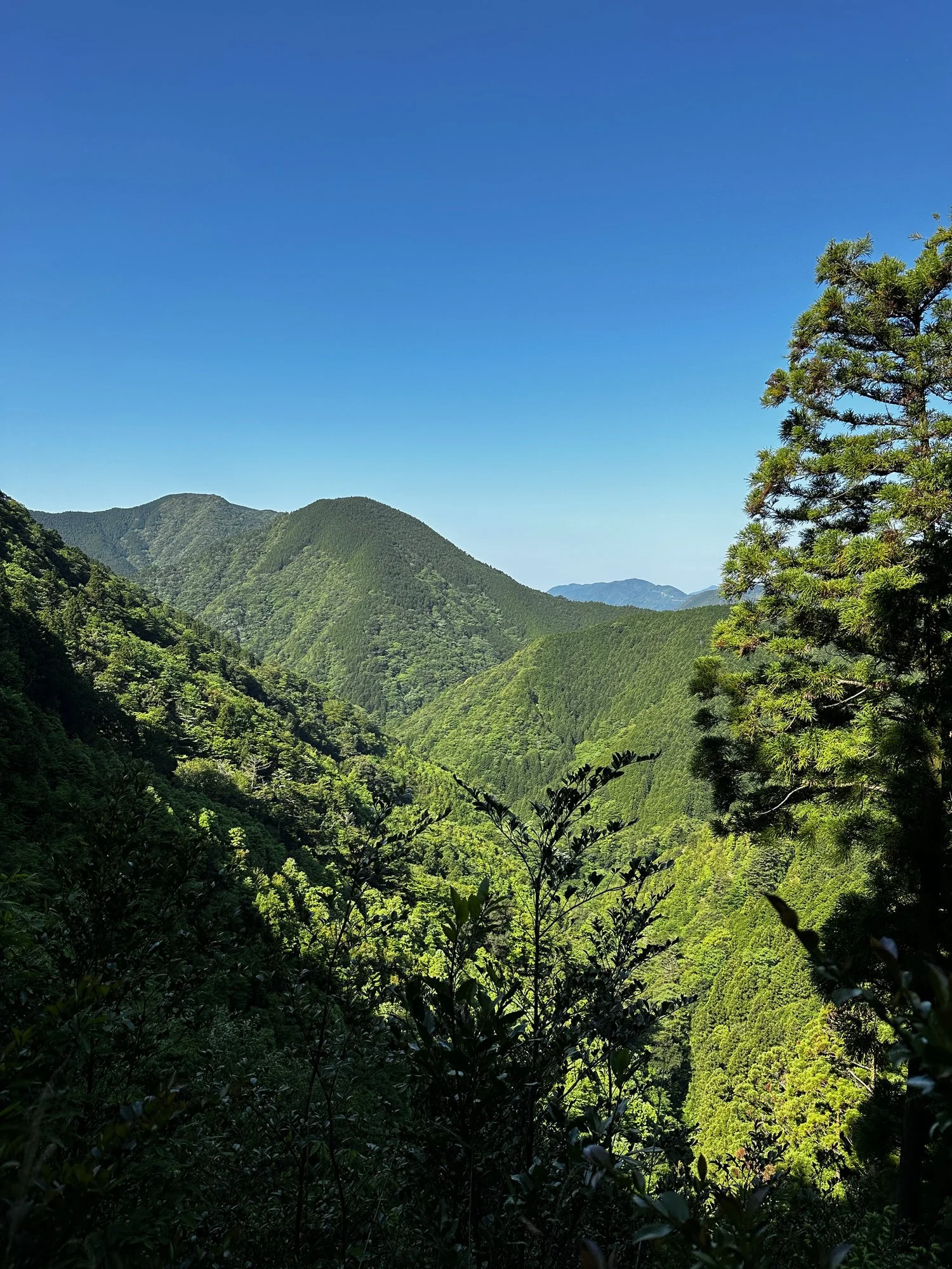
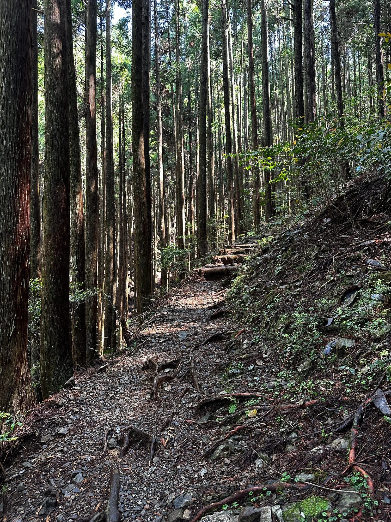
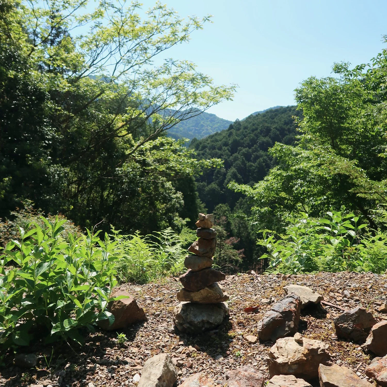
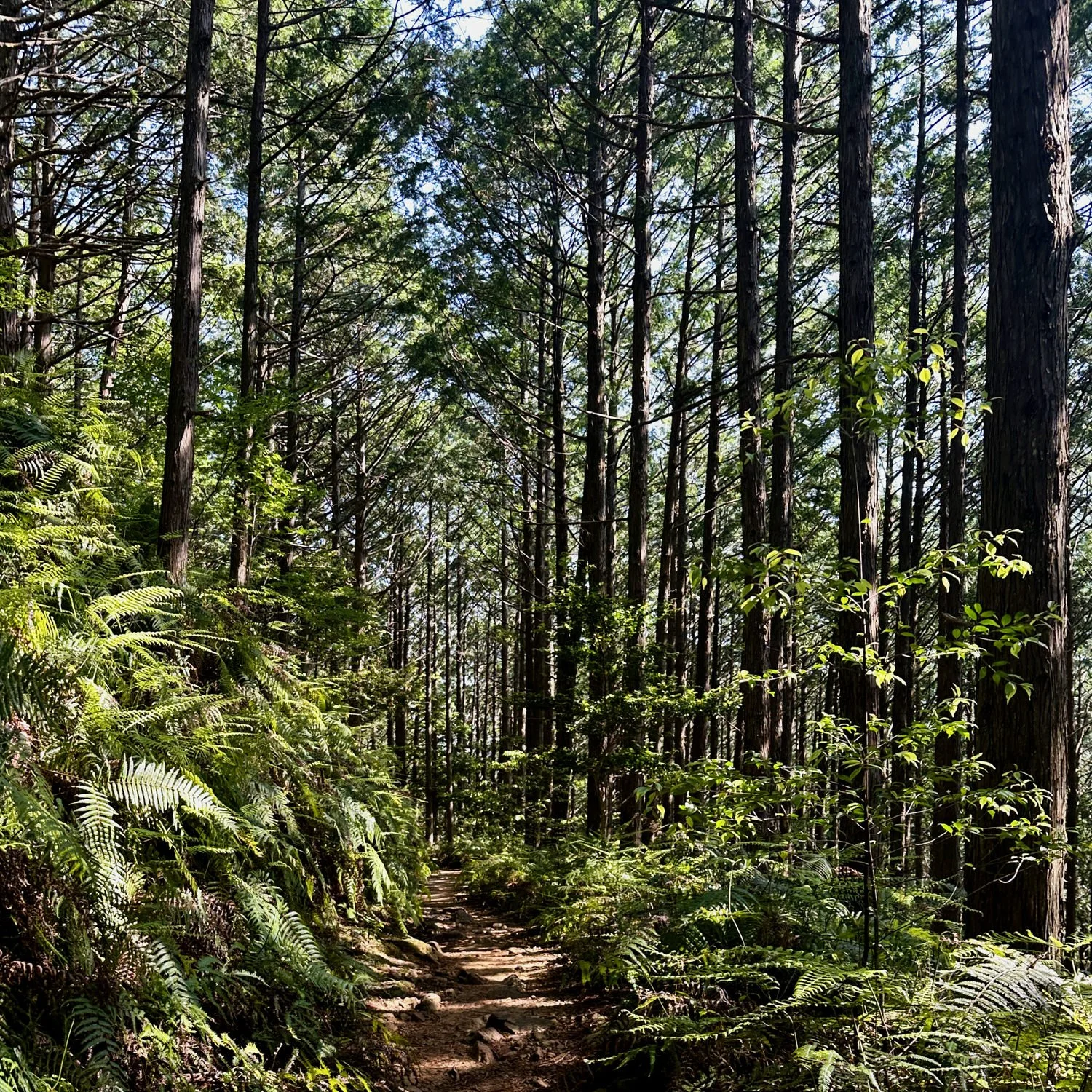
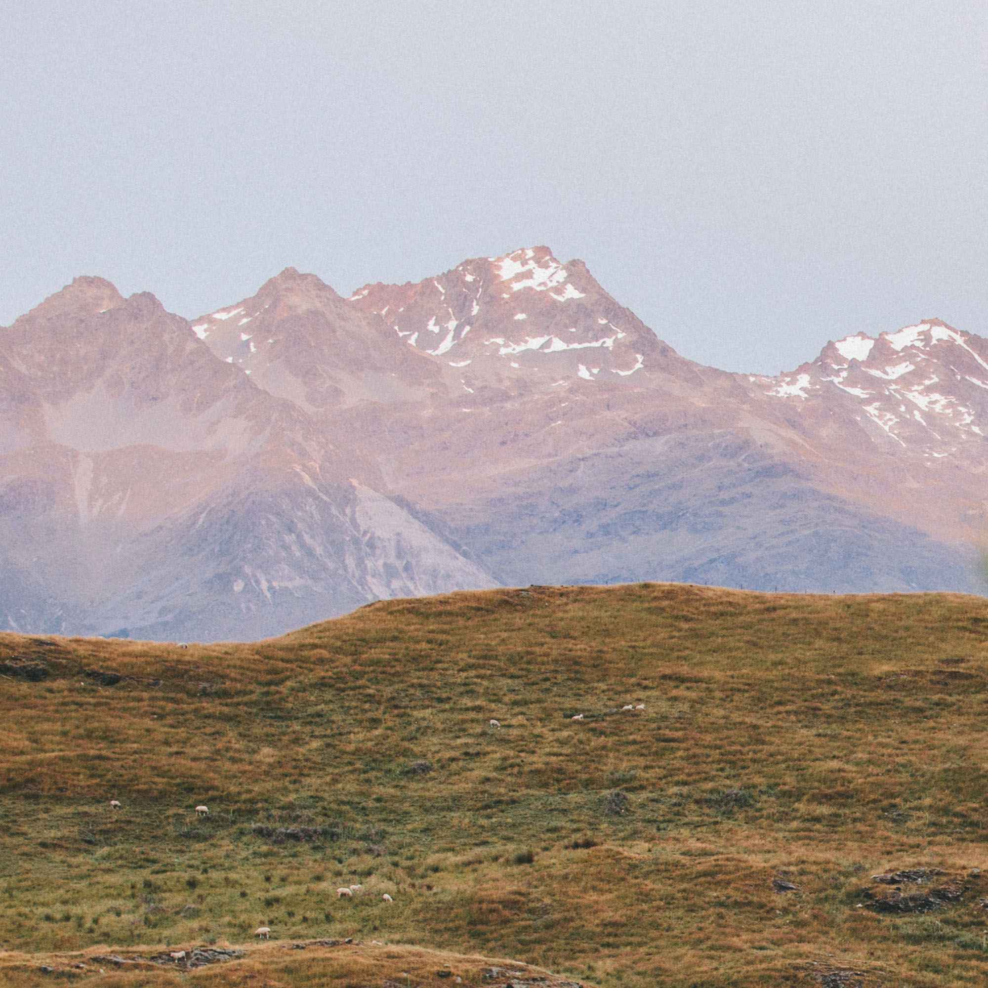
But the effort is worth it .The trails takes you through some truly breathtaking landscapes, Yes, you you may struggle up some seemingly never ending hills at times but that’s soon forgotten as you follow waterfalls down hill into dense cedar forests once waked by imperial pilgrims from Kyoto.
Pilgrims
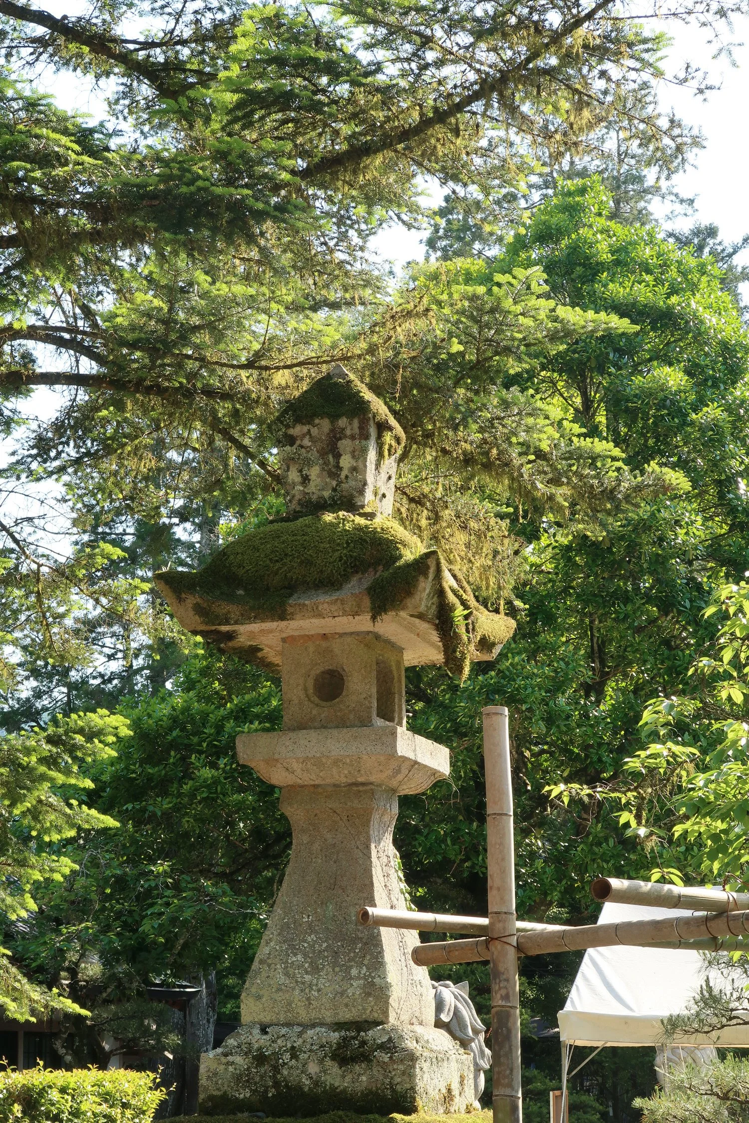
Highlights of the Kumano Kodo
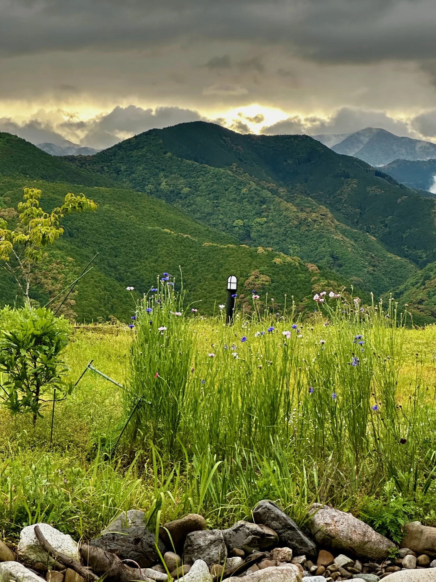
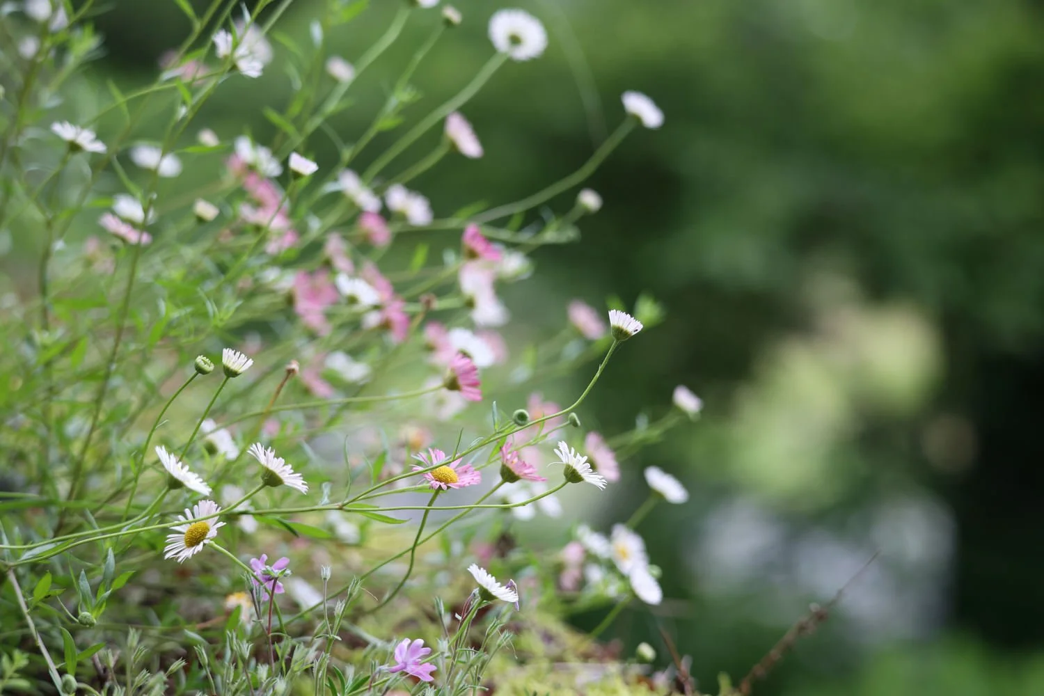
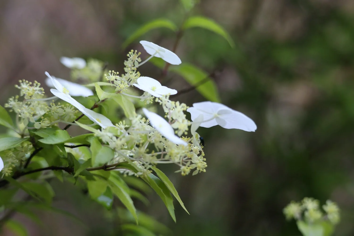
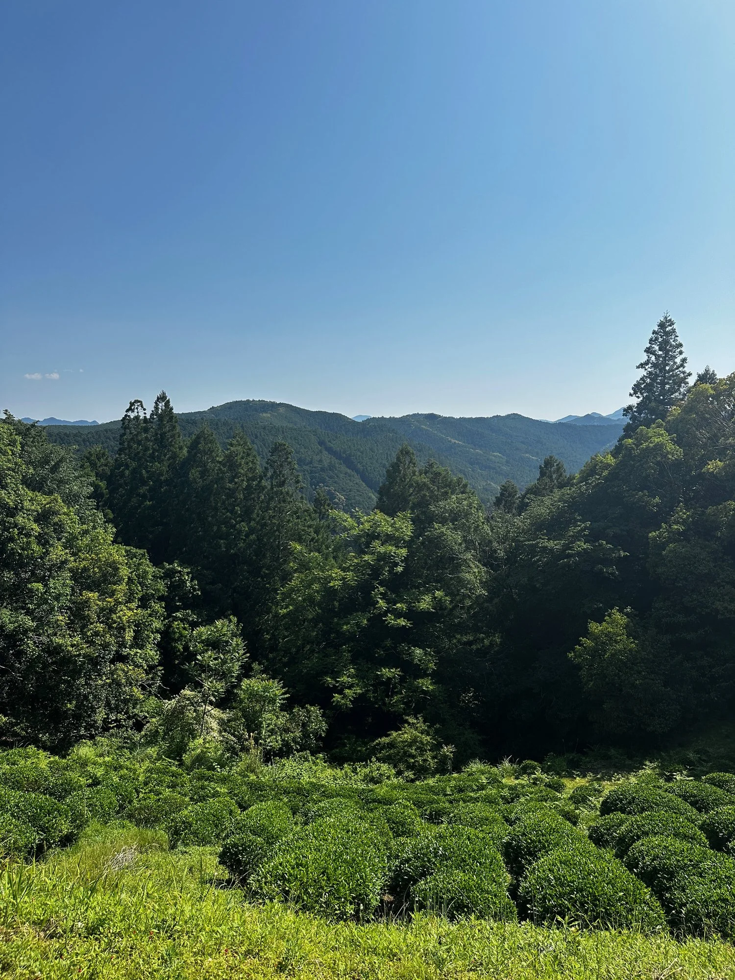
pristine scenic beauty, pristine, no runbbish
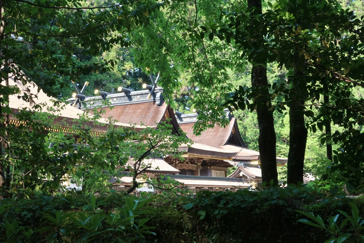
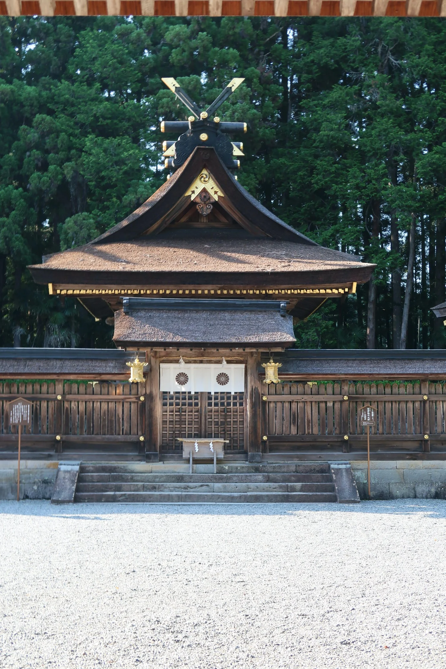
temples
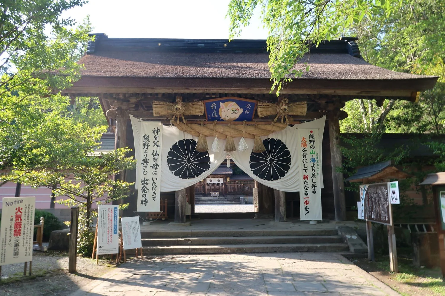
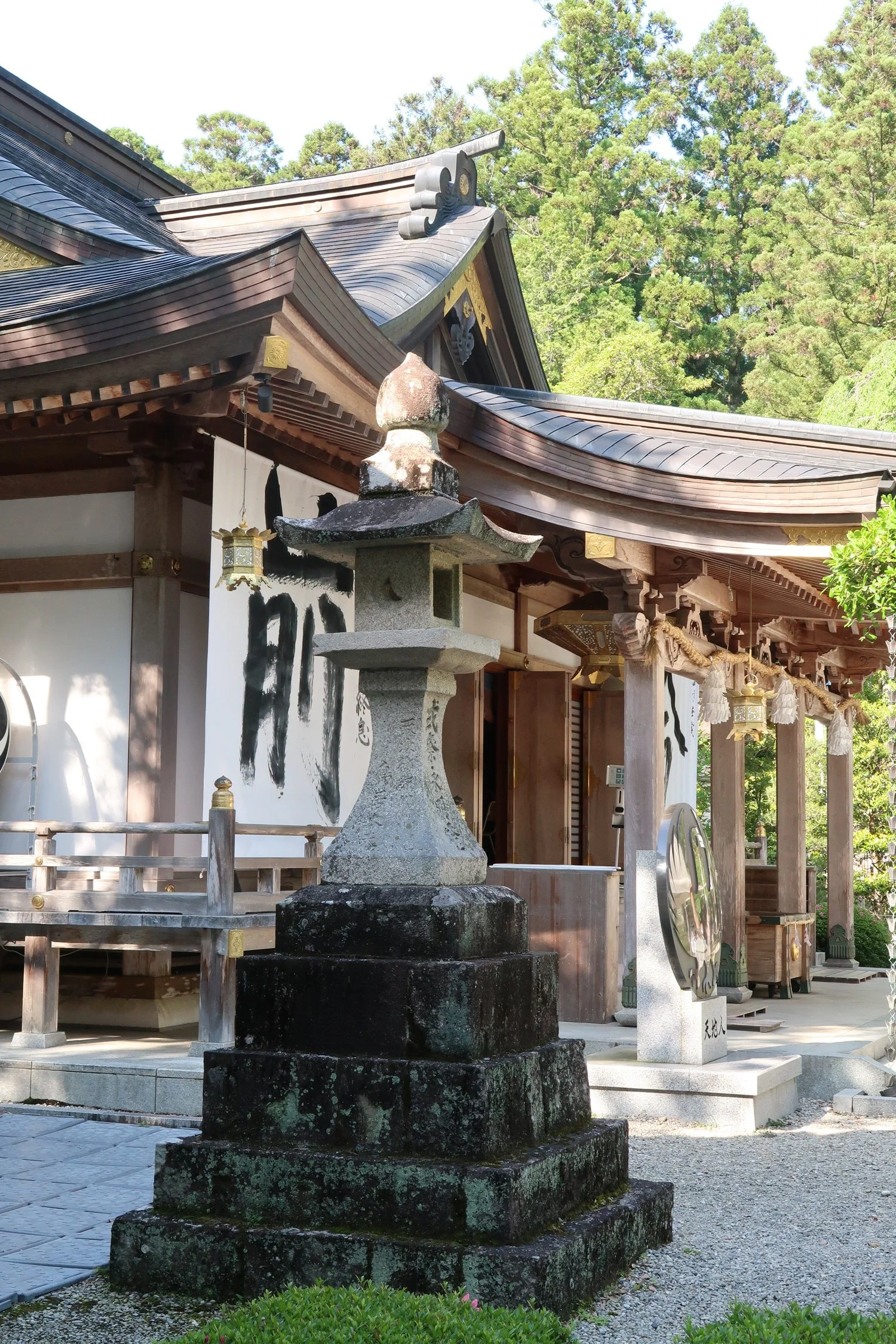
The three grand shrines - a bit about
Other walkers - people from all over inluding many austrakians like ourselves
discovering some lesser known parts of Japan
Logistics
CHeck out thius website https://www.tb-kumano.jp/en/kumano-kodo/
Unless you speak Japanese oand or are familiar with the areas covered the easiest way to organise s amuti day walk is through one of a number of companies that specialise in The area. We did the walk with a company called OKU Japan who organised our accommodation, train travel etc making things much easier> The route below was more or less according t their itinerary which has flexibility built in. see also https://www.kumano-travel.com/en/model-itineraries/6-days-E1-kumano-kodo-trek-nakahechi for more info
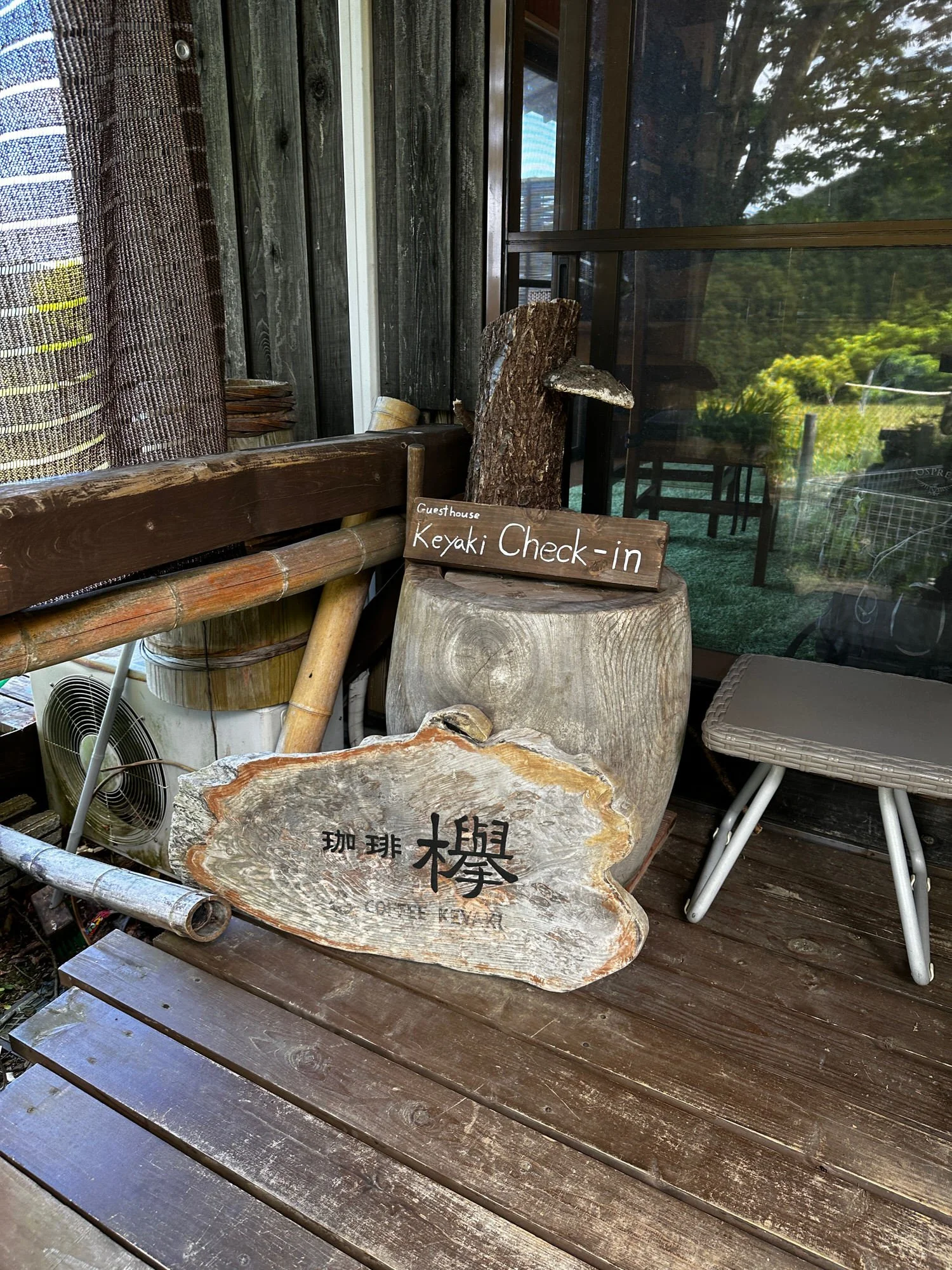
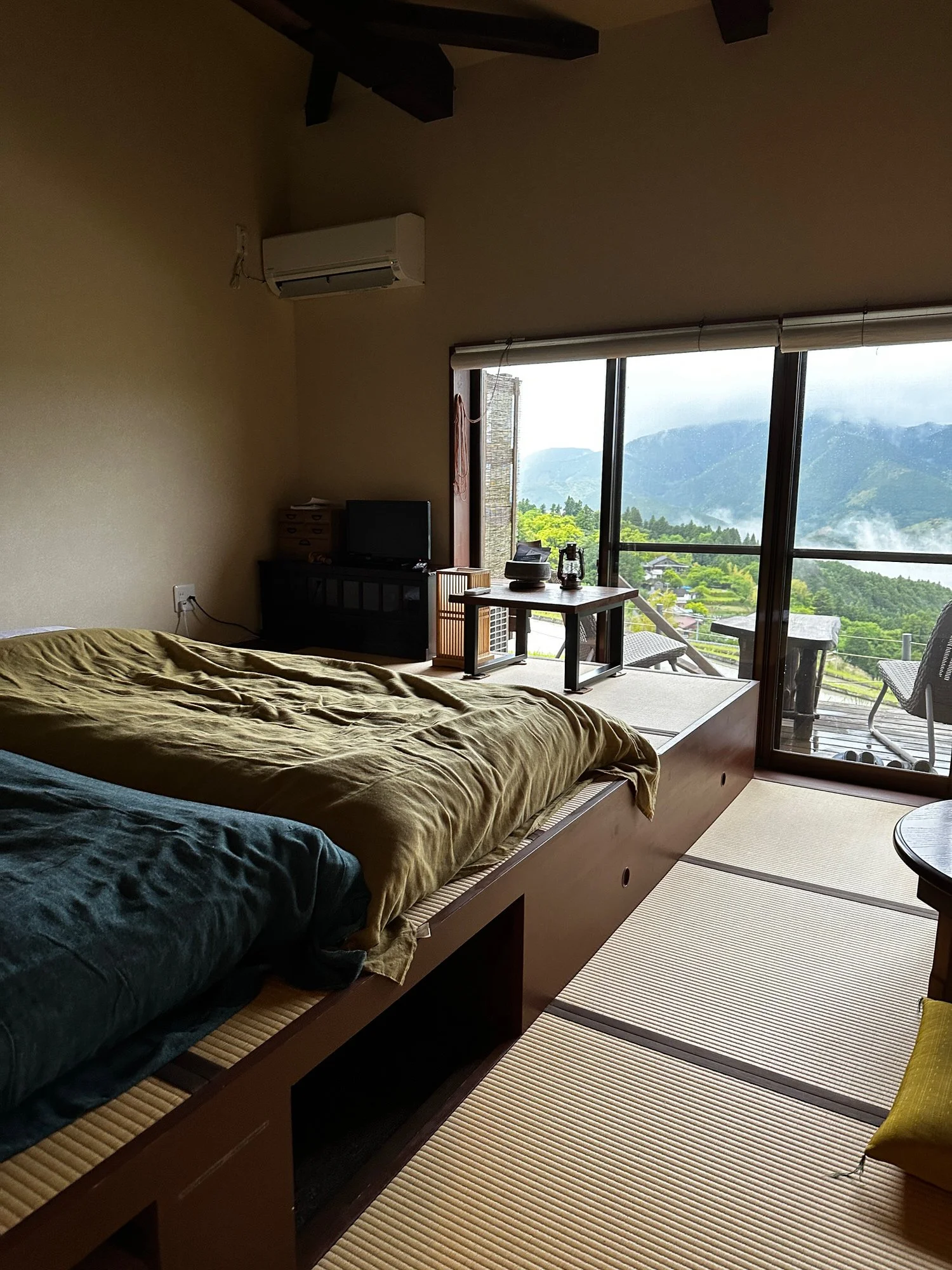
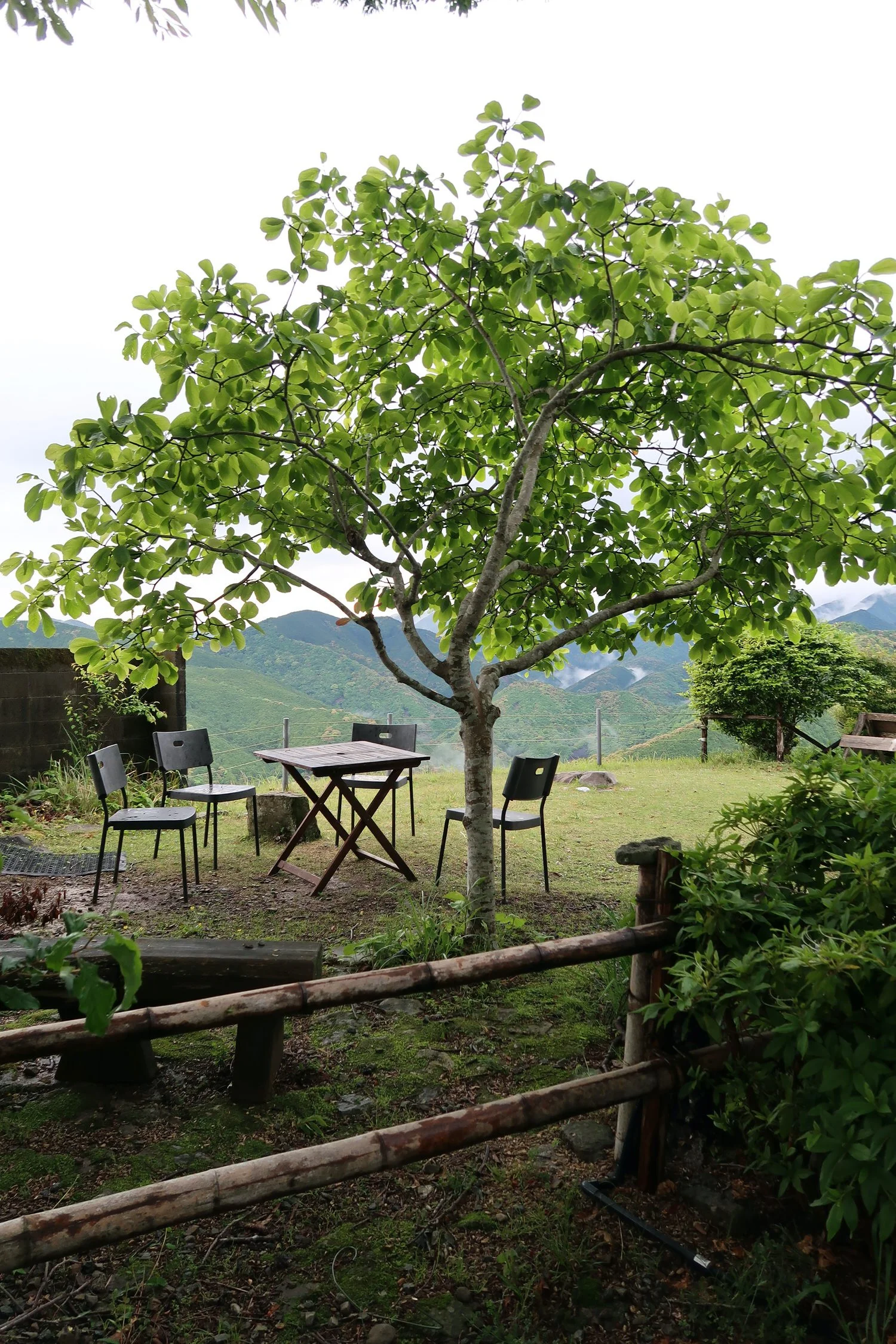
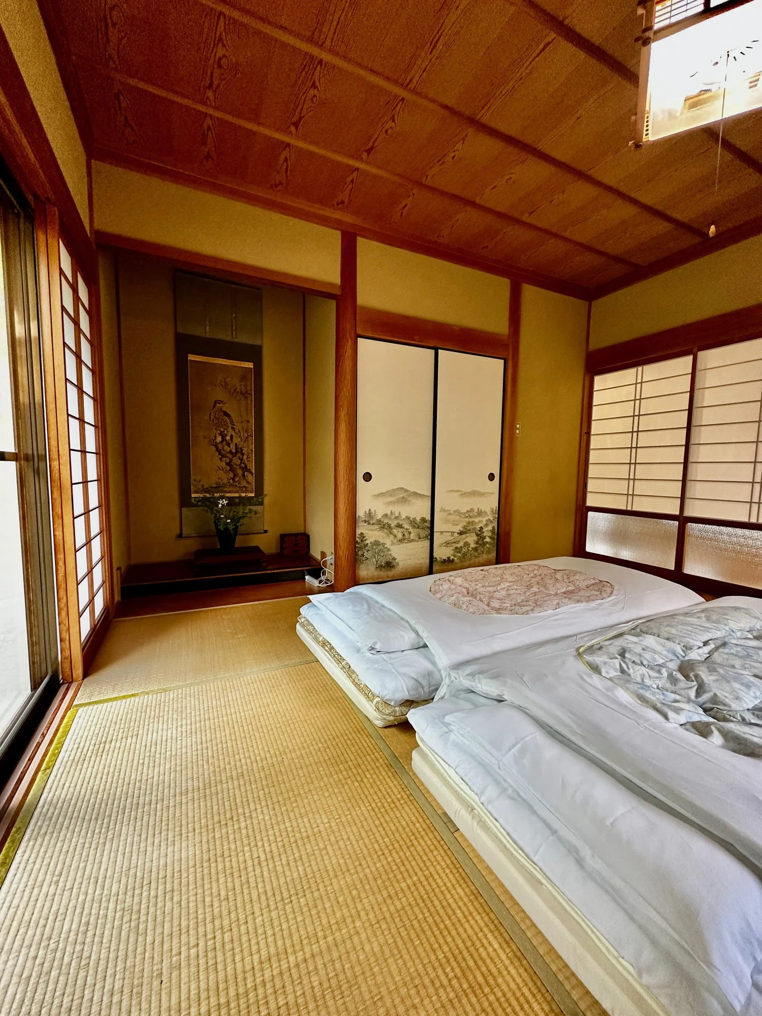
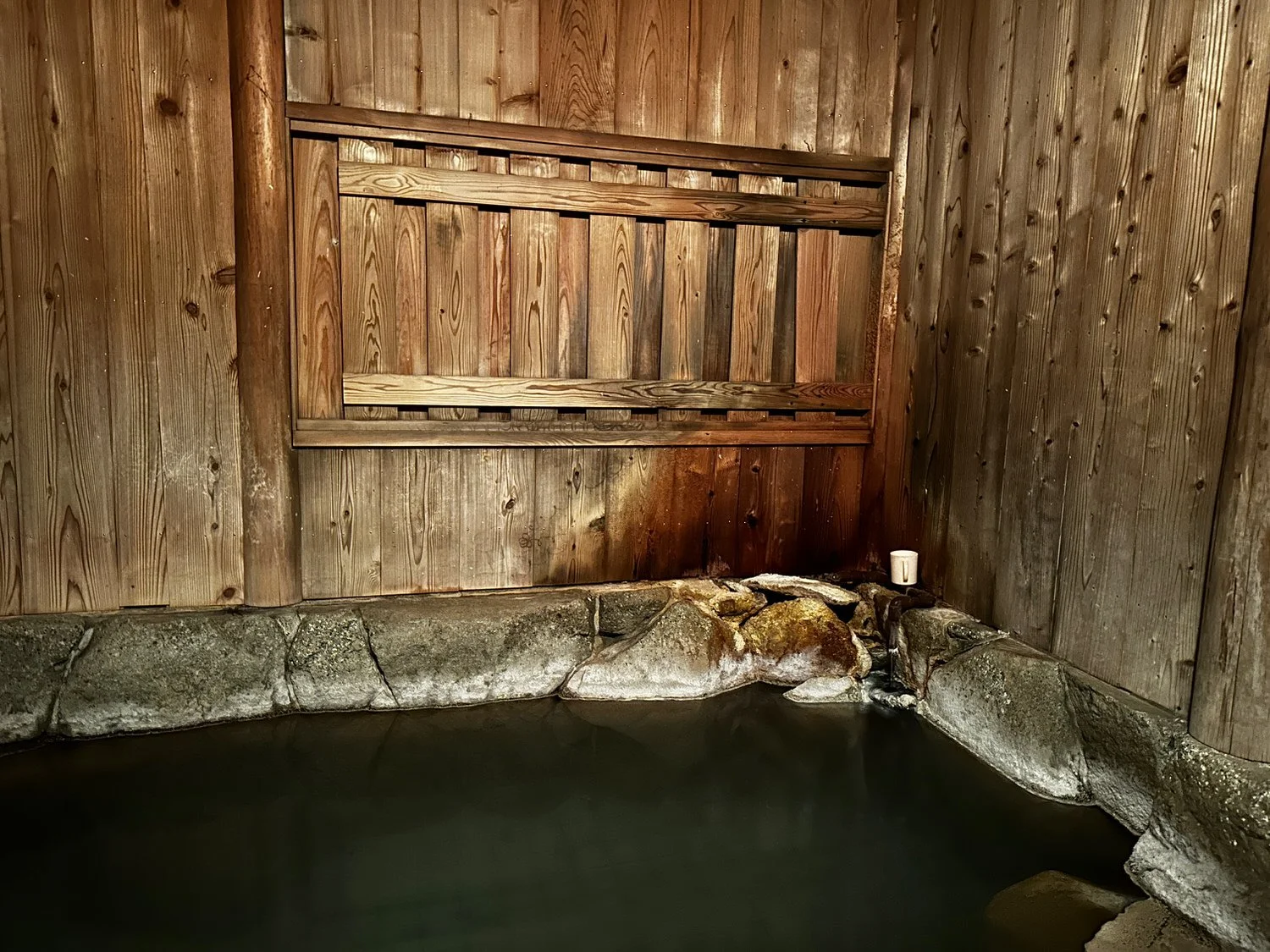
Each accommodation different to the last
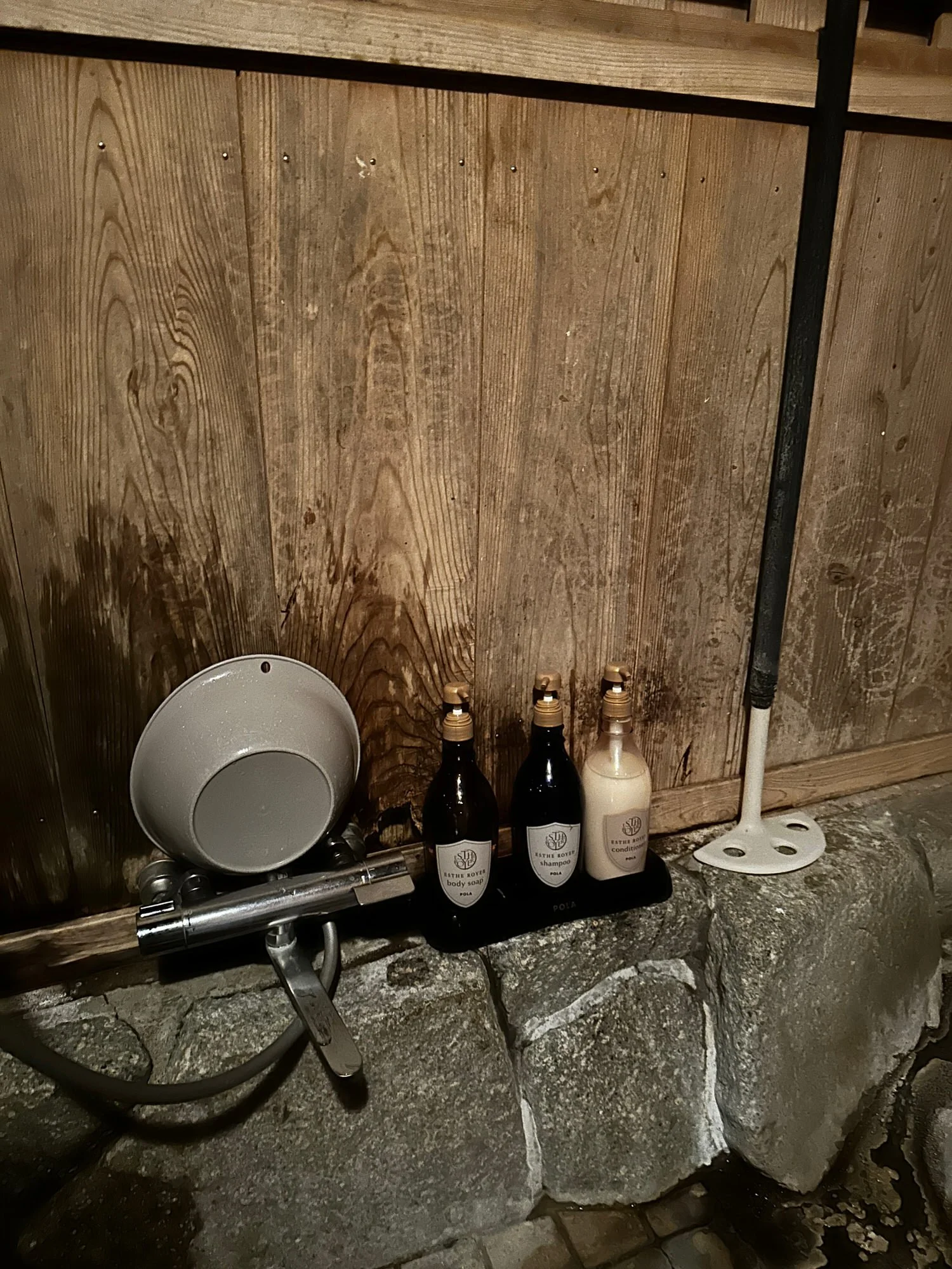
toilets
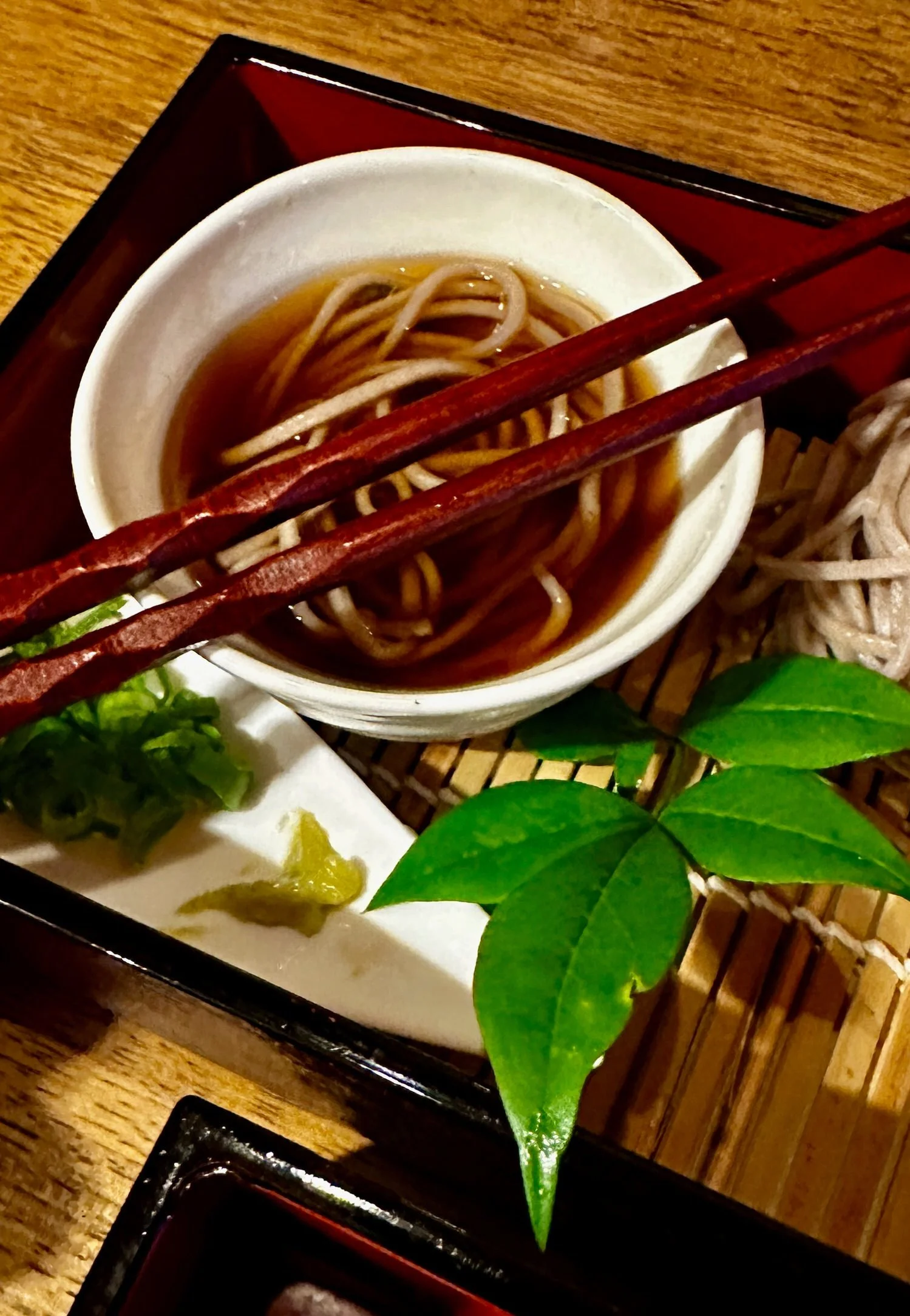
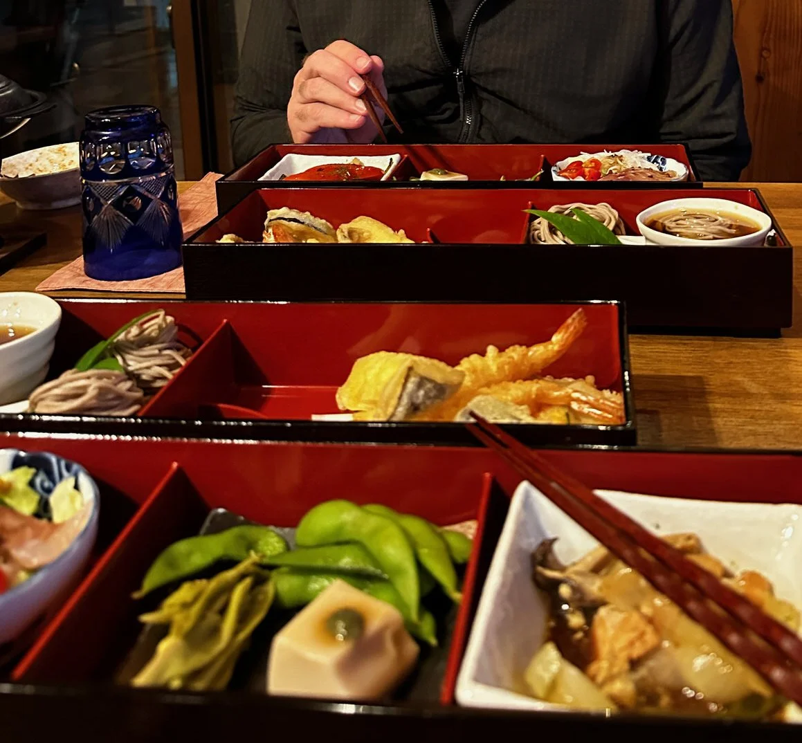
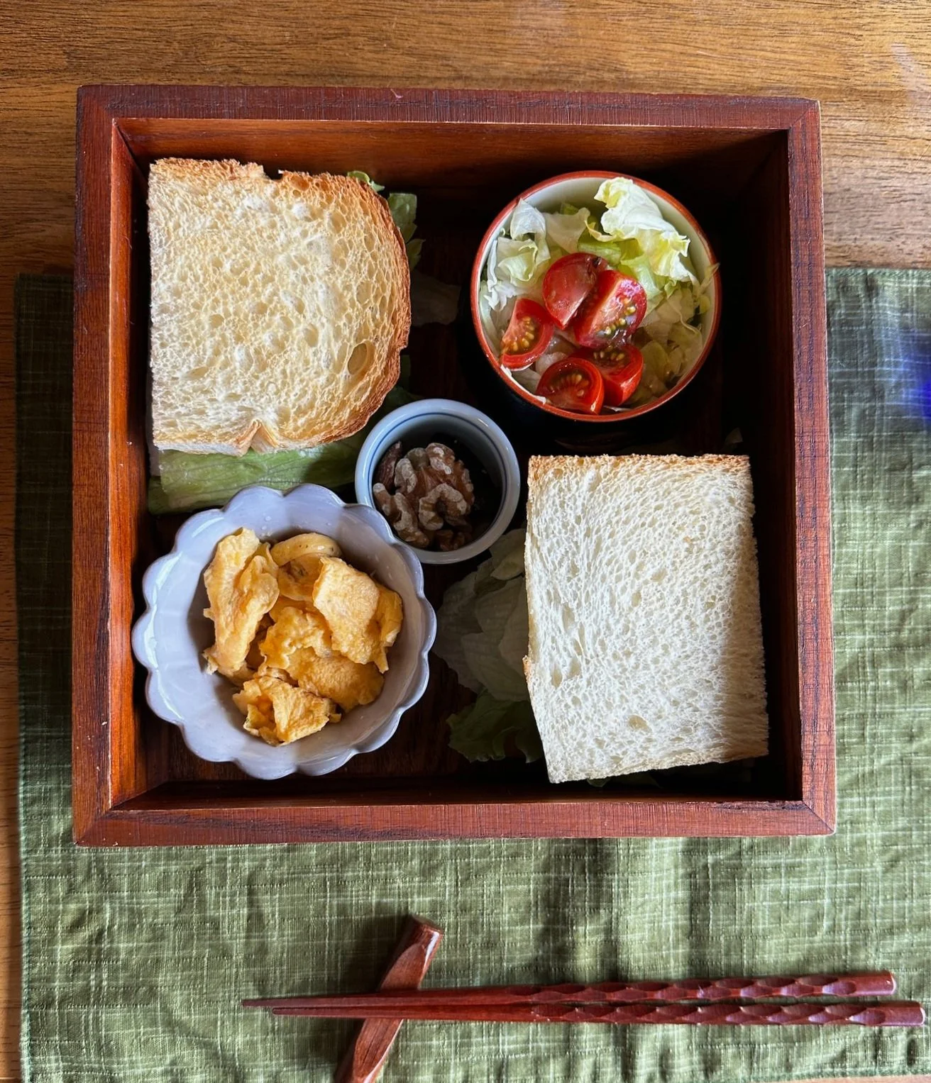
Food
local busses that lead to the isolated villages where accommodations are located. Be sure to check timetables as the buses are few and far between and missing one oif the morning buses may see you arriving ta your accommodation very late in the day.
You can do the walk as a pilgrimage as many do, and . you’ll need to register at the Kumano Hongu Heritage Centre TANABE Tourist Information Center before starting out on your walk. You’ll recieve a passport in which you will use to collect stamps at temples along the way. if you also walk the Way of St.James (Camino de Santiago) you will qualify as a ‘Dual Pilgrim’
Overview
The Nakahechi Route described below is the main route that links the three Grand Shrines of Kumano. summary of the walk here for people who dont want to rea the day by day
lots of steps, lots of climbing, beautifl scenery
Do as pilgrimage or not
Day by Day
DAY ONE
Takijiri to Takahara
After a pretty smooth journey from Nara - two trains and a bus, and some slight disappointment that our suggested lunch venue was closed, we began our walk in the pouring rain. But thankfully things improved.
Bus from Tanabe (infrequent) dropped us at start. There is a small shop that does coffee - not terrible and had done snacks. There is also a food shop that does burgers etc but that was closed, possibly because the weather was so bad.
The trail was slippery in parts and very steep. Suggested time for this part was two- three hours. It took us two and a half.
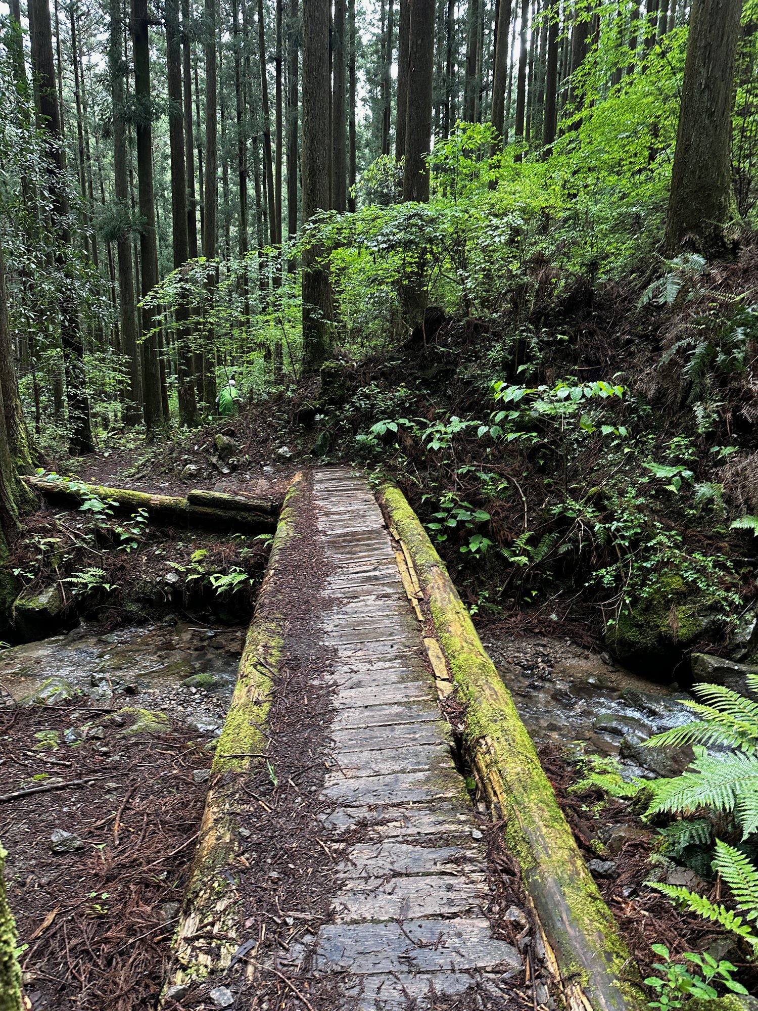
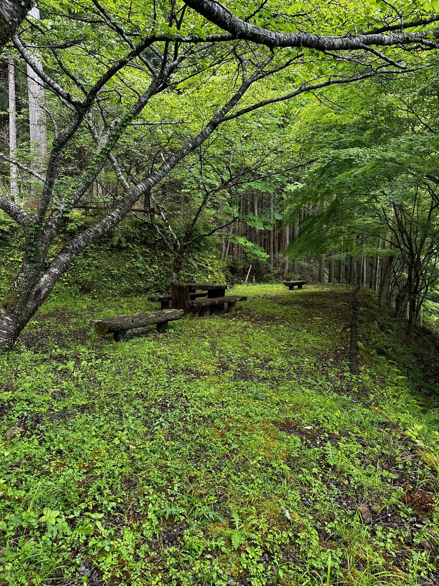
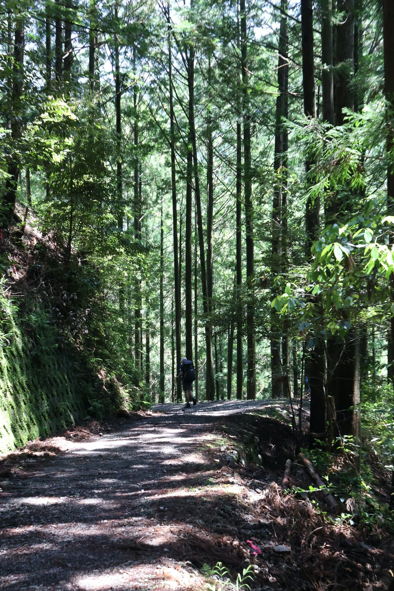
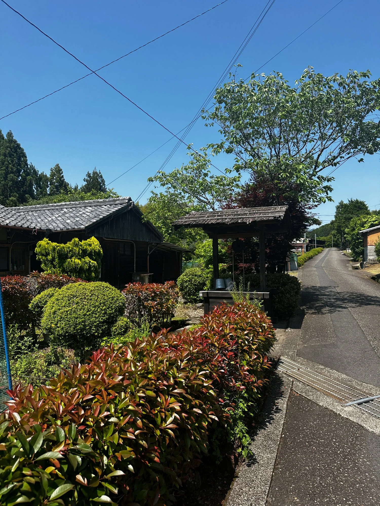
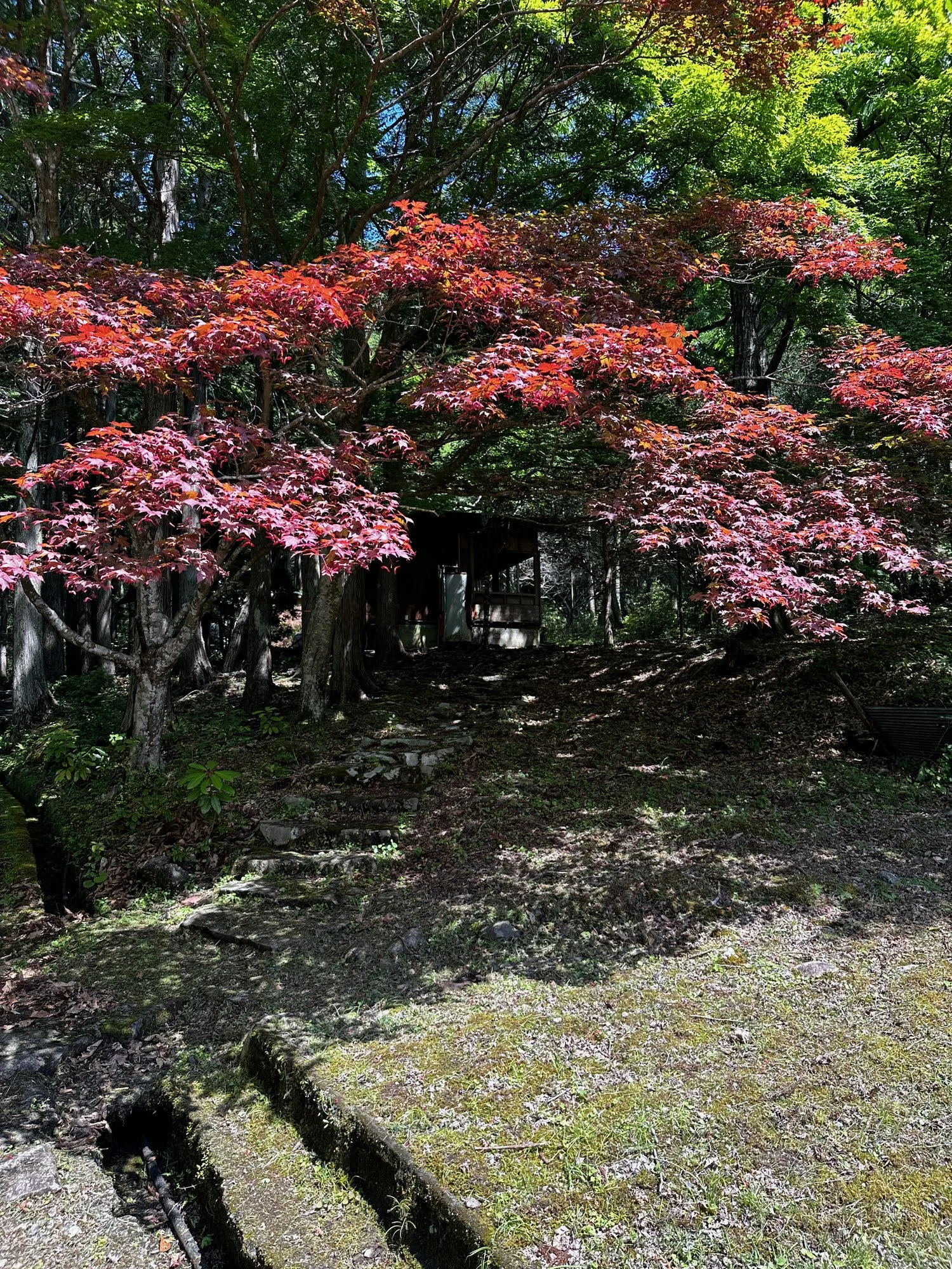
The path is marked by centuries-old stone steps that wind their way through lush forests. The foliage creates a natural canopy, filtering the sunlight and casting dappled shadows on the ground.(AI)
Your first walk on the Nakahechiportion of the KumanoKodo trail from Takijiri to Takaharais short butincludesa fairly long climb with370m/1,200 feet of ascent.Takahara is a small mountain-top village whosename literally means ‘high field’ (Oku)
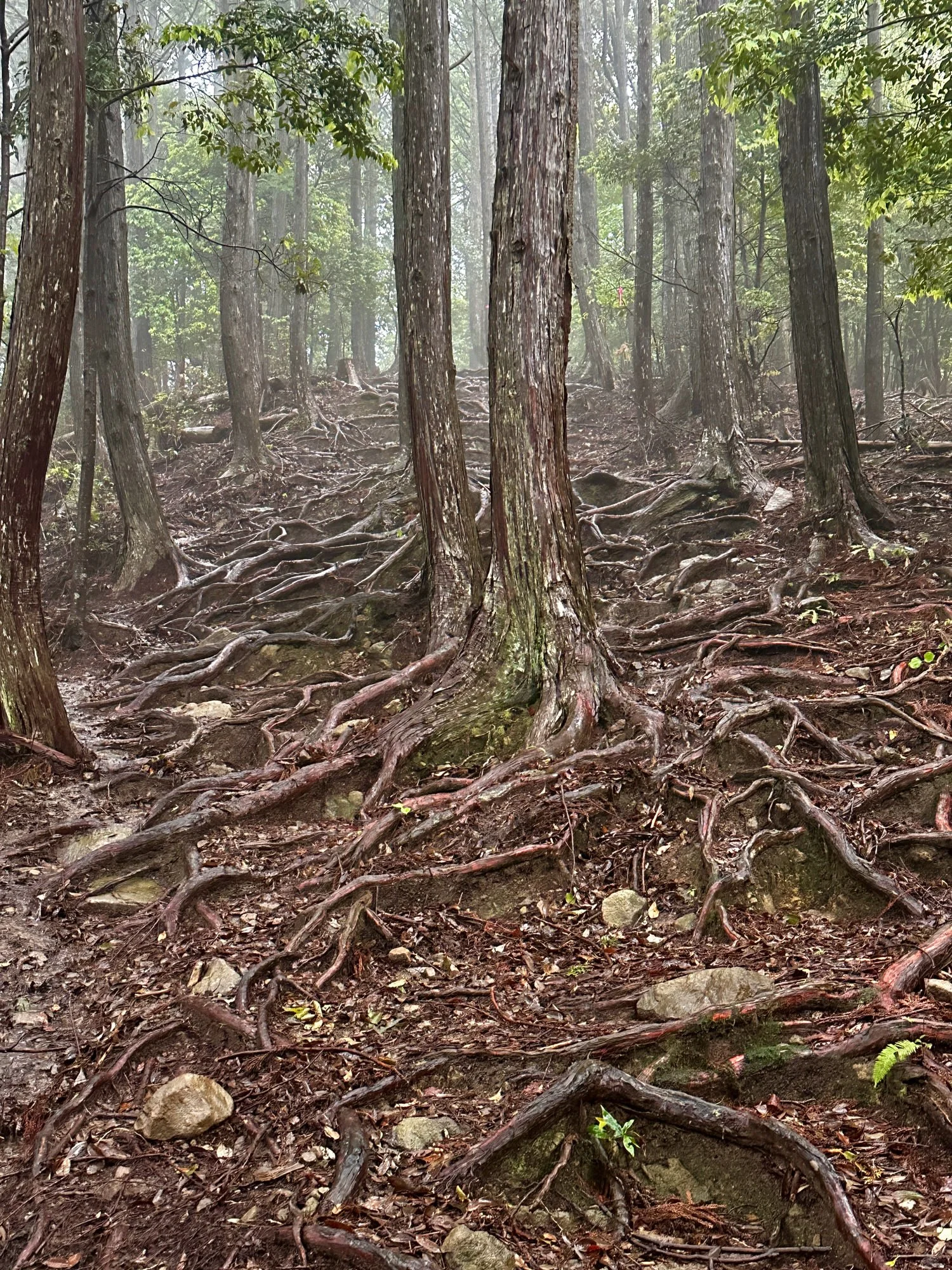
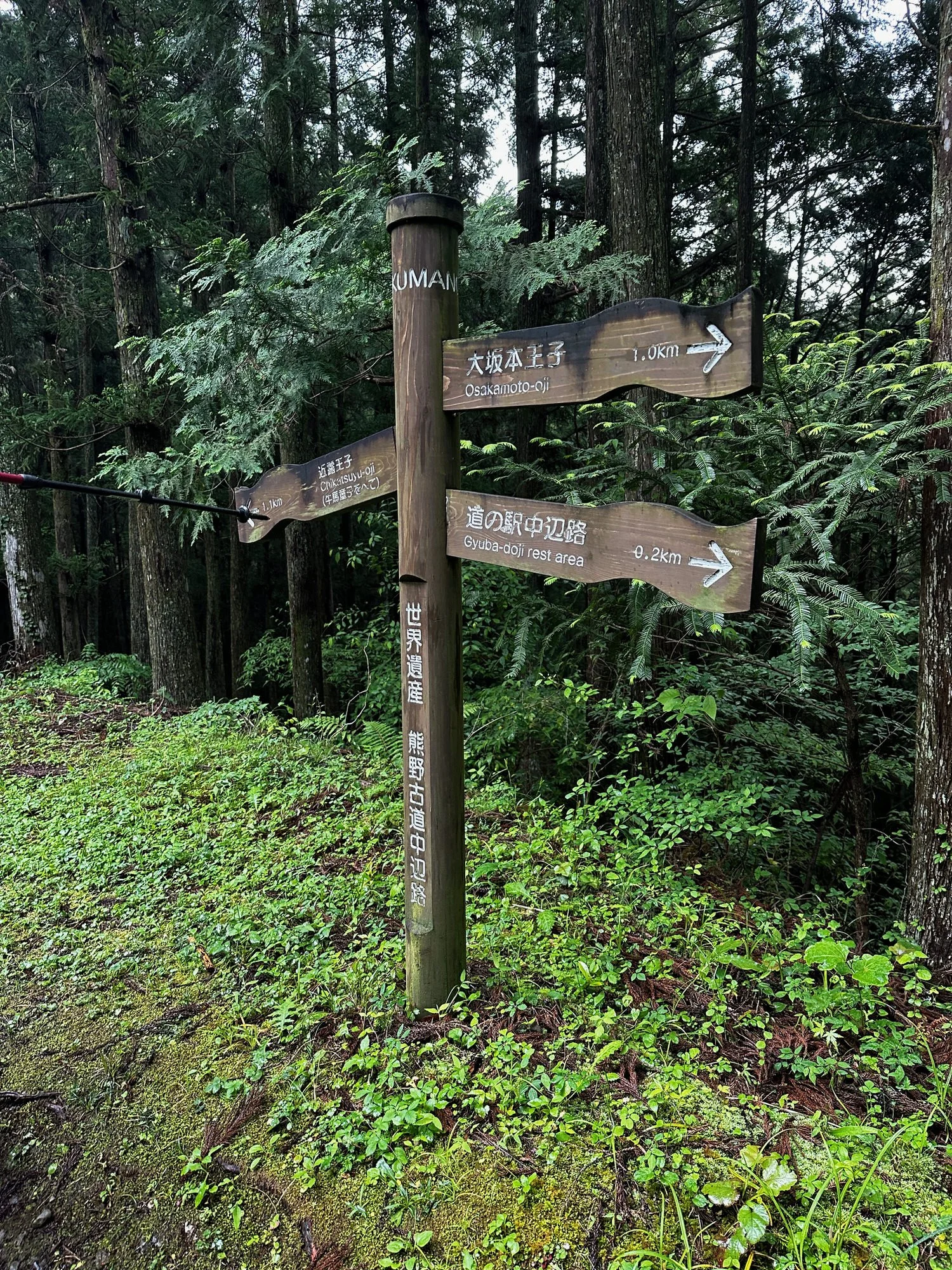
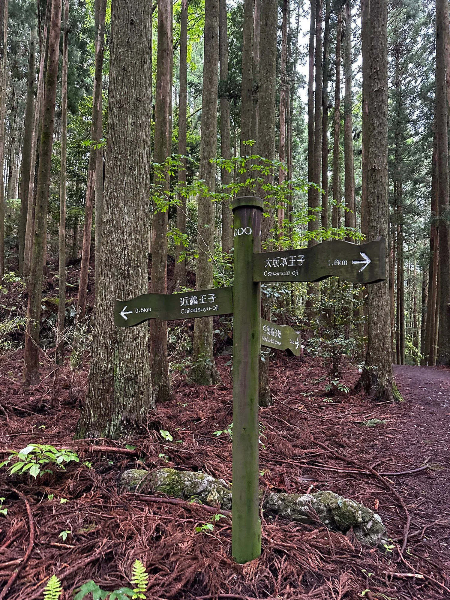
There are lots of tree roots which help as foot holds but also serve as tripping hazards. Look out for blue markers. The trail is pretty clear but if you find yourself off track there’s usually a sign saying not Kaimana Kodo
Walked through tall pines which group led together through the dappled light of the emerging sun were beautiful.
Option to climb some stairs and add 300 meters or so to walk - do it. The views are awesome.
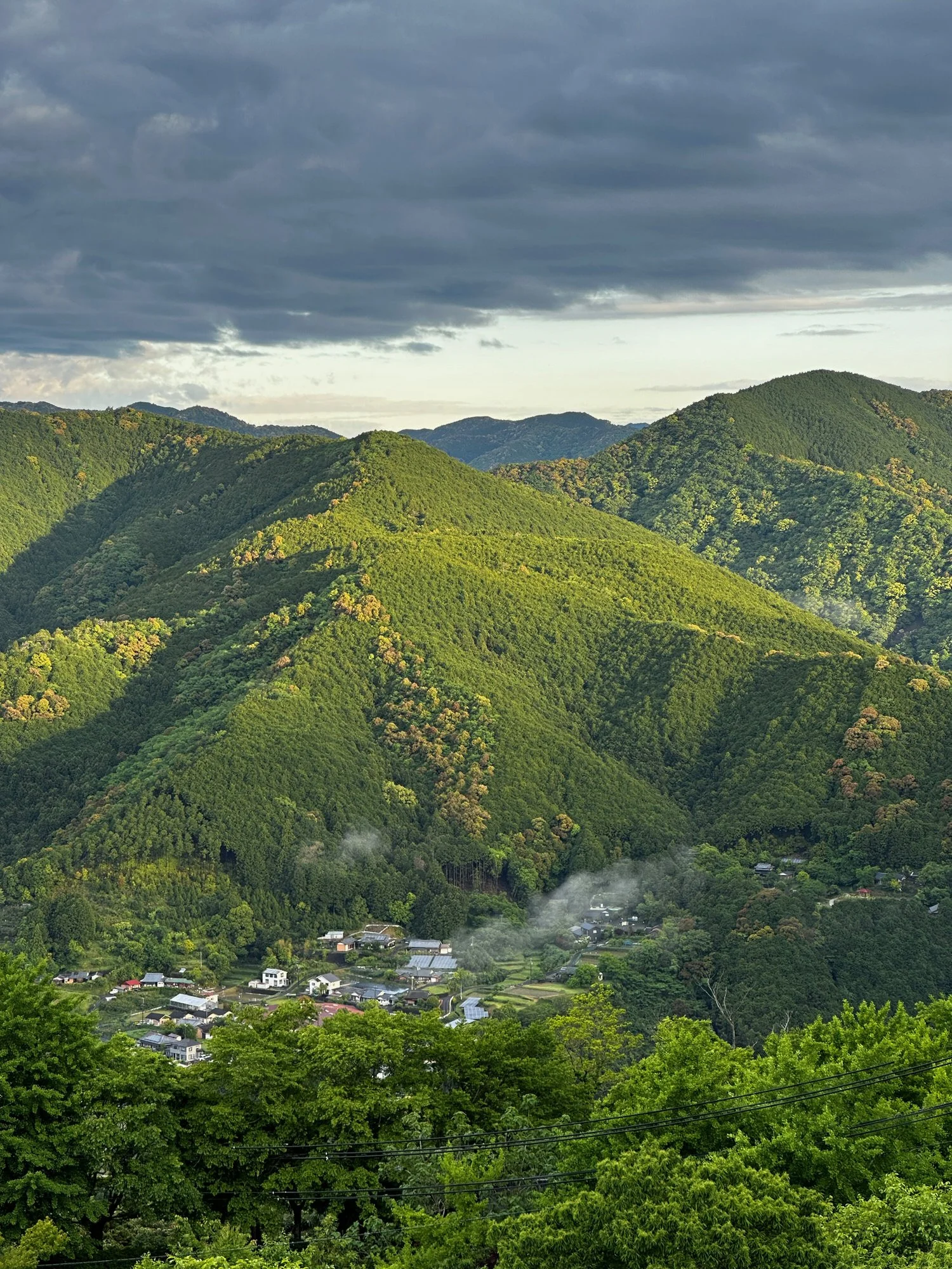
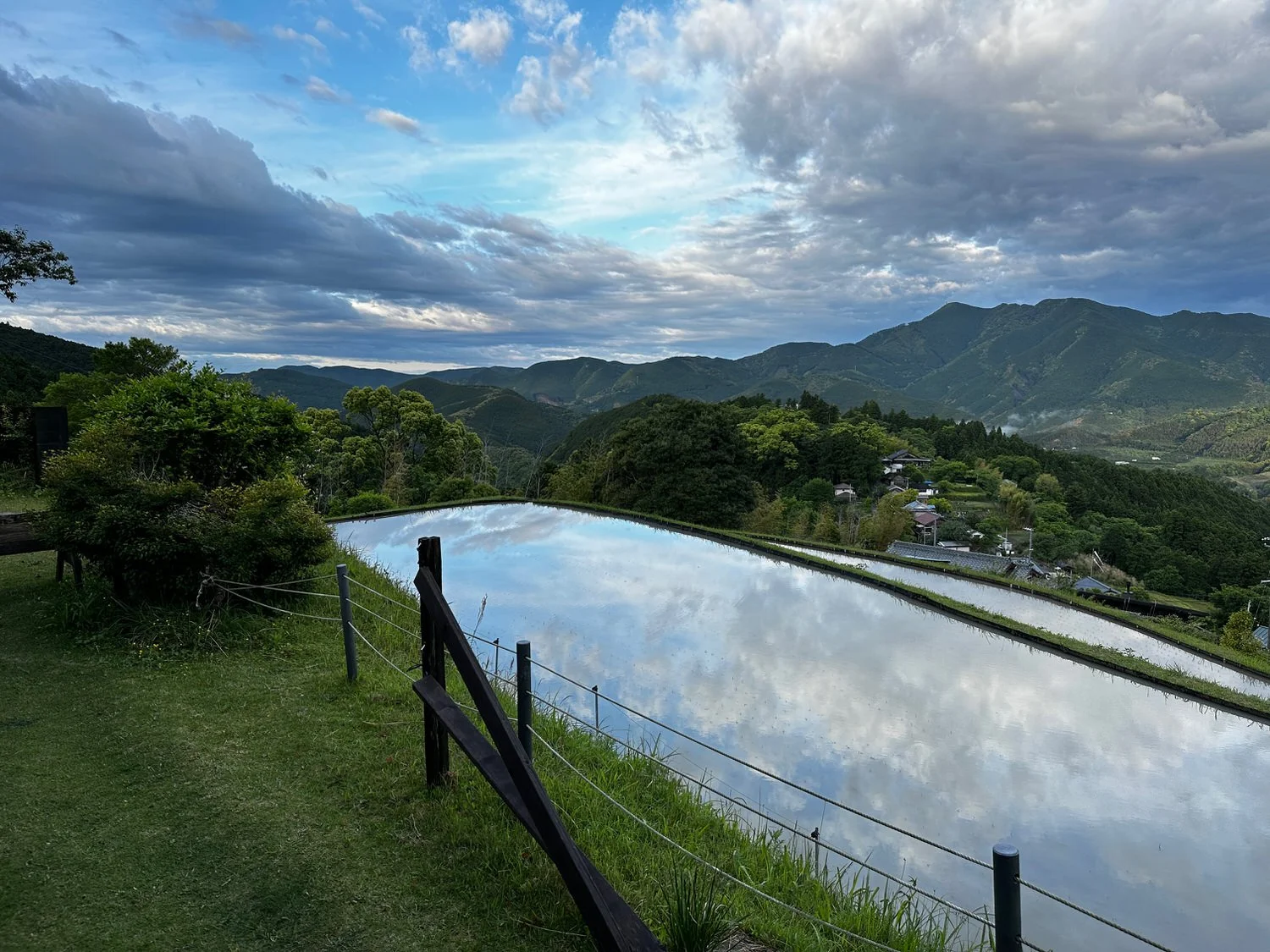
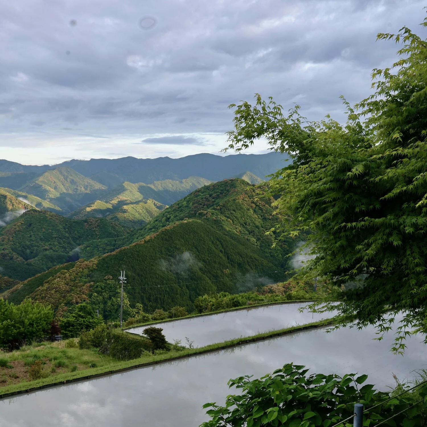
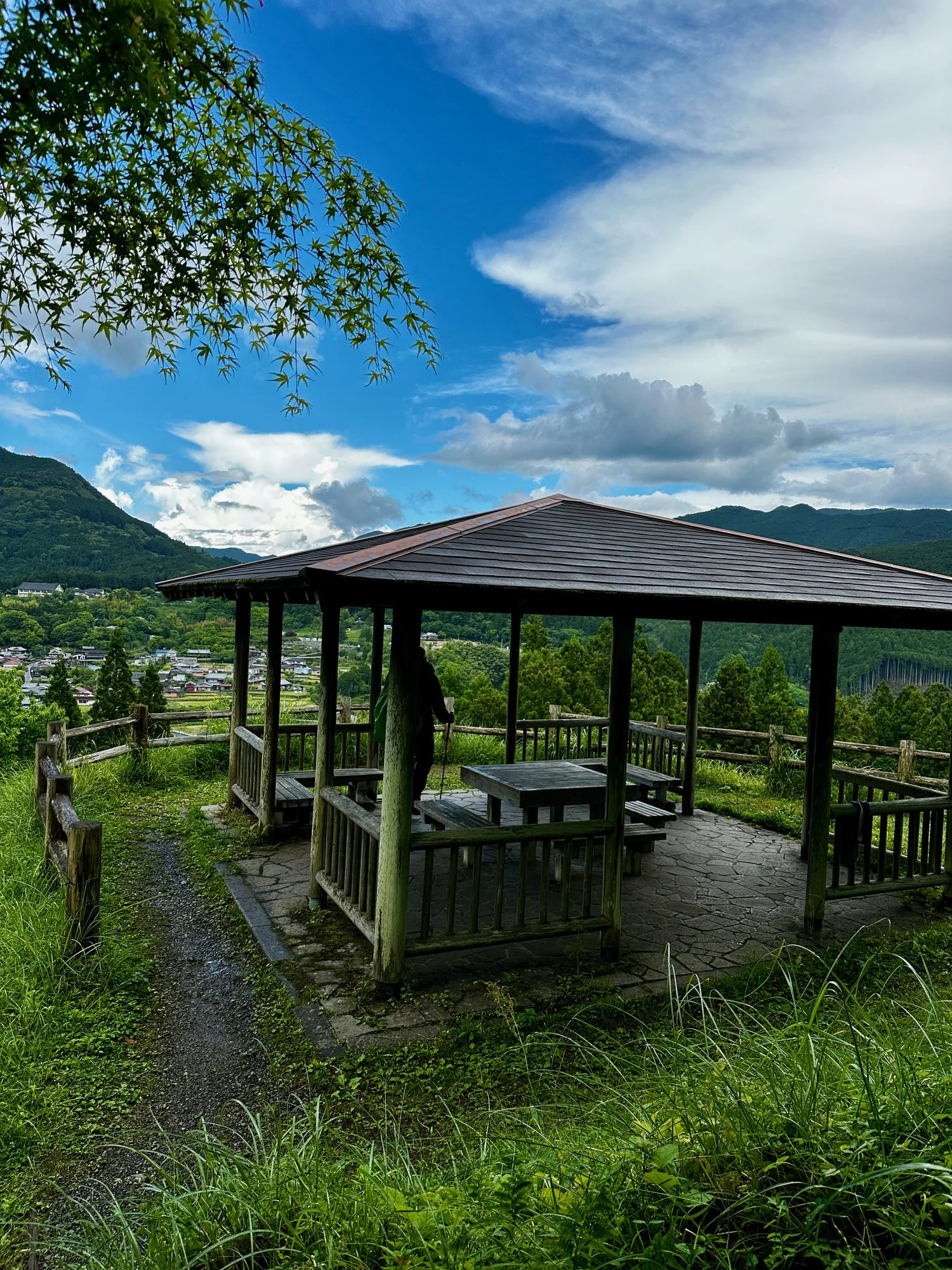
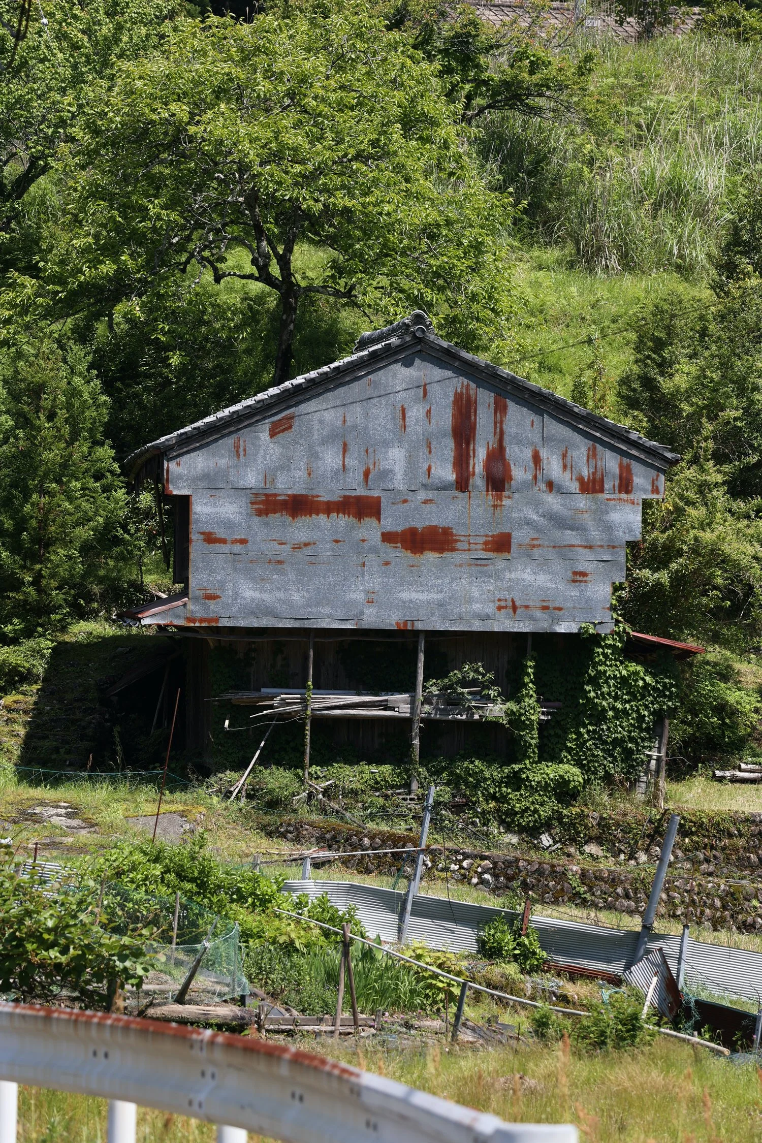
Arrived in the village of Takahara - beautiful views over rice paddies, and walked (another hill!) to our accommodation,
Be careful in the rain, can be very slippery . We couldn’t have had a wetter start to our KK adventure, it was bucketing down, That first part is steep but manageable and so far so good on the pack.
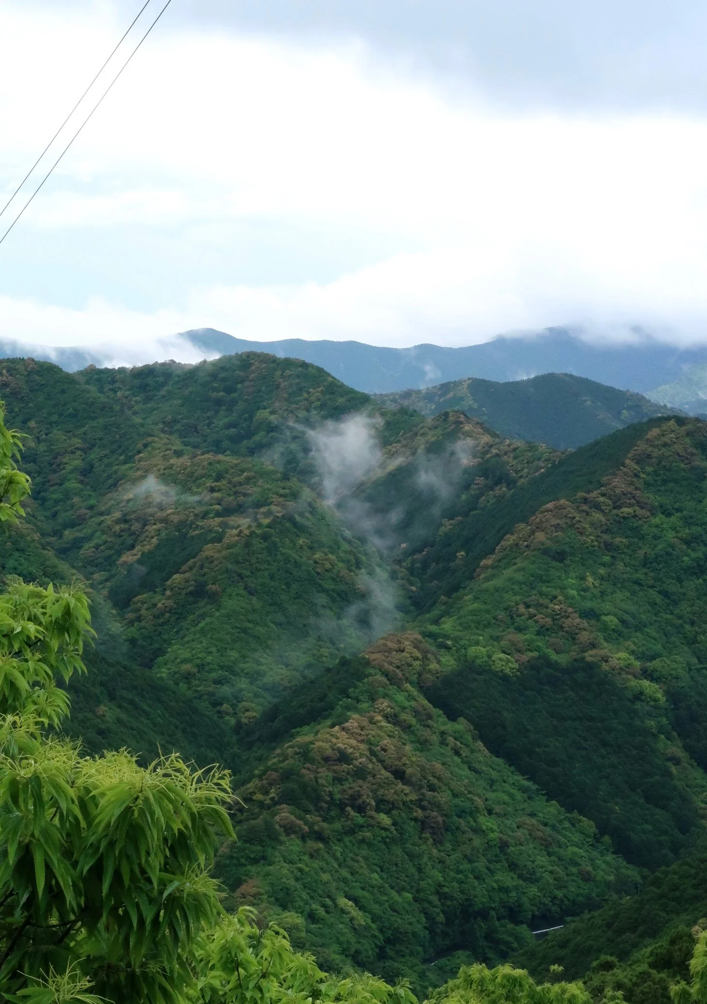
The wet cools you down a bit and gives special light and mood to the forest and the colour of the leaves.e.
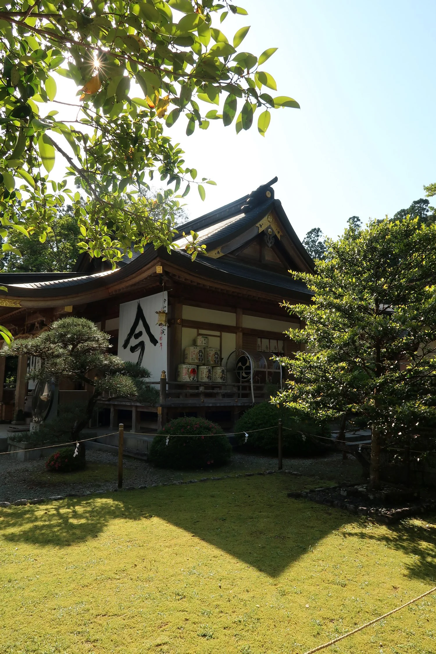
Perched on a hilltop overlooking rice paddies the village of Takahara was a welcome sight at the conclusion of day one's hike.
Takahara to Chikatsuyu
We began the day with a huge breakfast courtesy of our host before setting off for 10 km walk
The second day, Dawn to much brighter head after a beautiful breakfast too much food again we set up on the Trail. His first part is very steep, but so beautiful tree really sick forest and if there are busy this forest somewhere they could be in here lots of birds making sounds, but I can’t see them . It’s very pretty walk so far. It’s going to level out sometime soon so I’m sweating now I’ll keep my extra layer on.
Some of these climbs really get your hair get heart racing. Can you have a Camera? I said I was pretty hard going, sometimes it worth
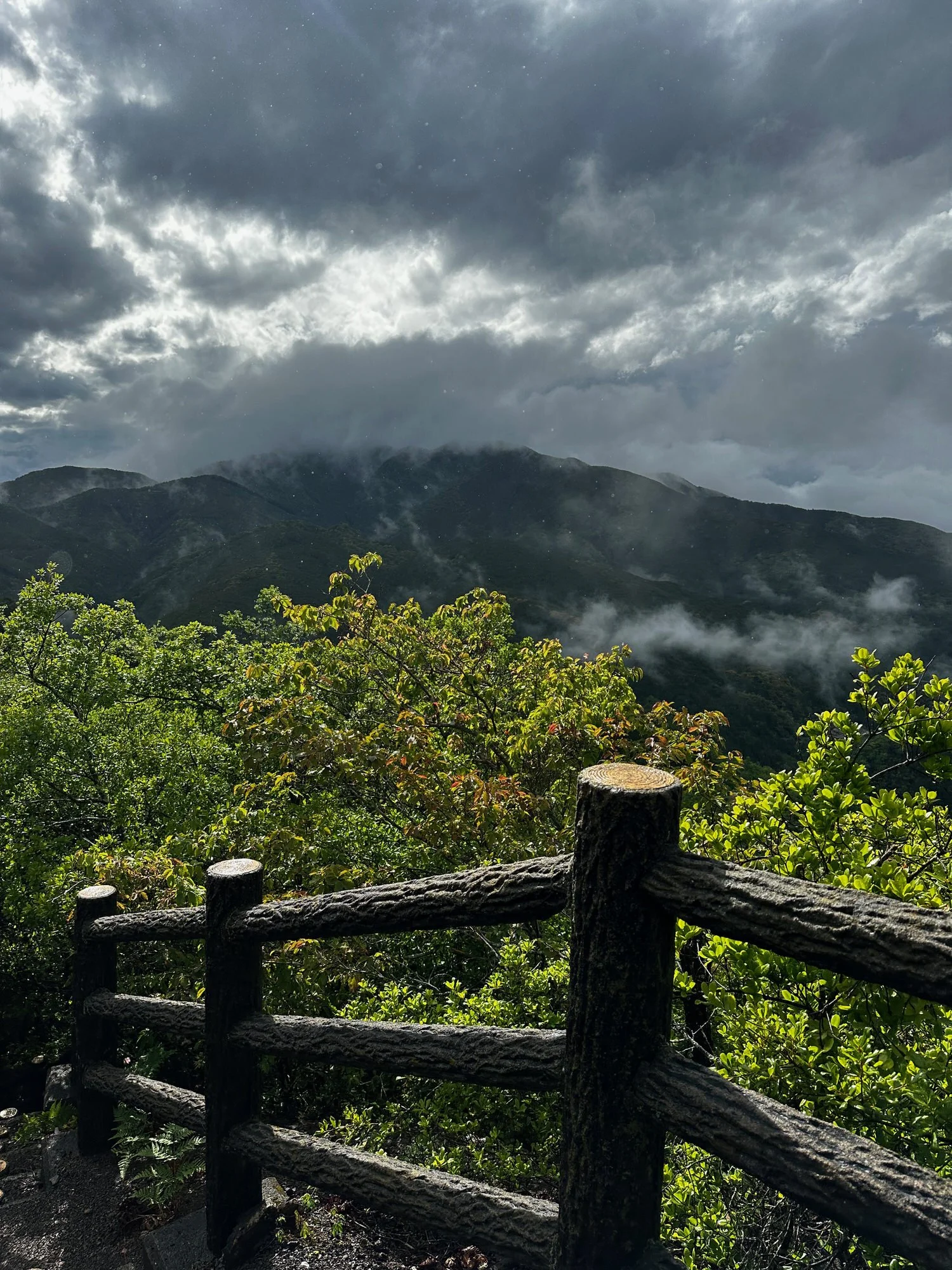
About halfway through the morning and it started to rain again not heavy and the canopy appears pretty thick here so I think we’re okay and hope it’s just a passing shower one good thing about the rain. No I said does cool you down it’s so beautiful here, makes the greens sing
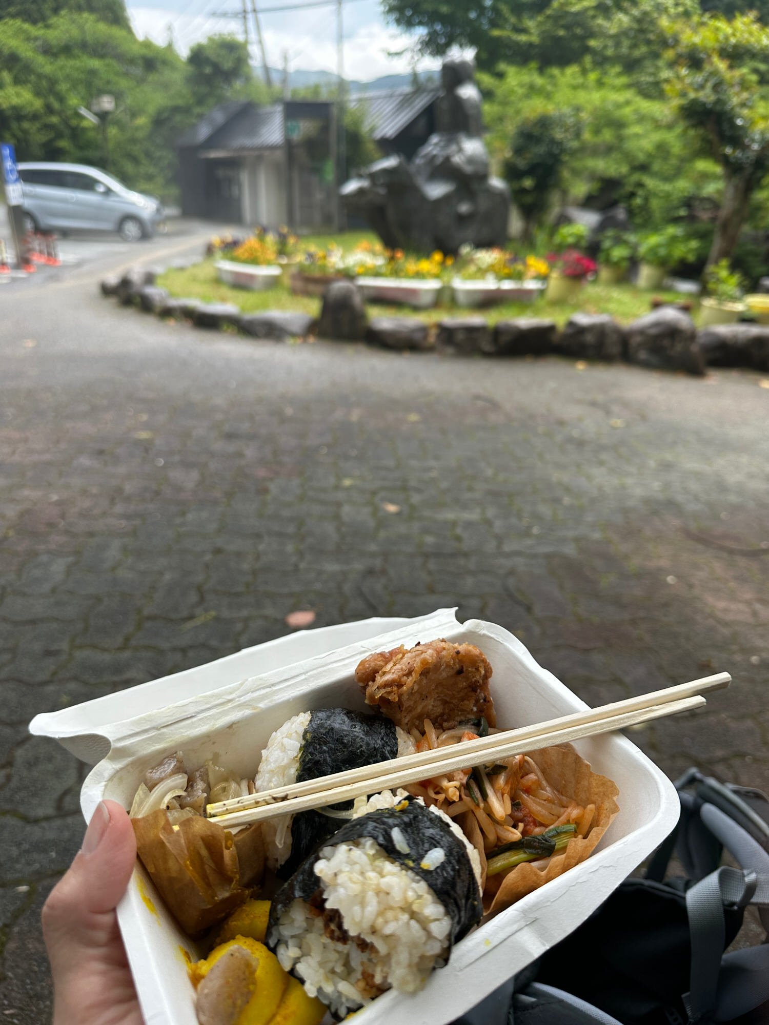
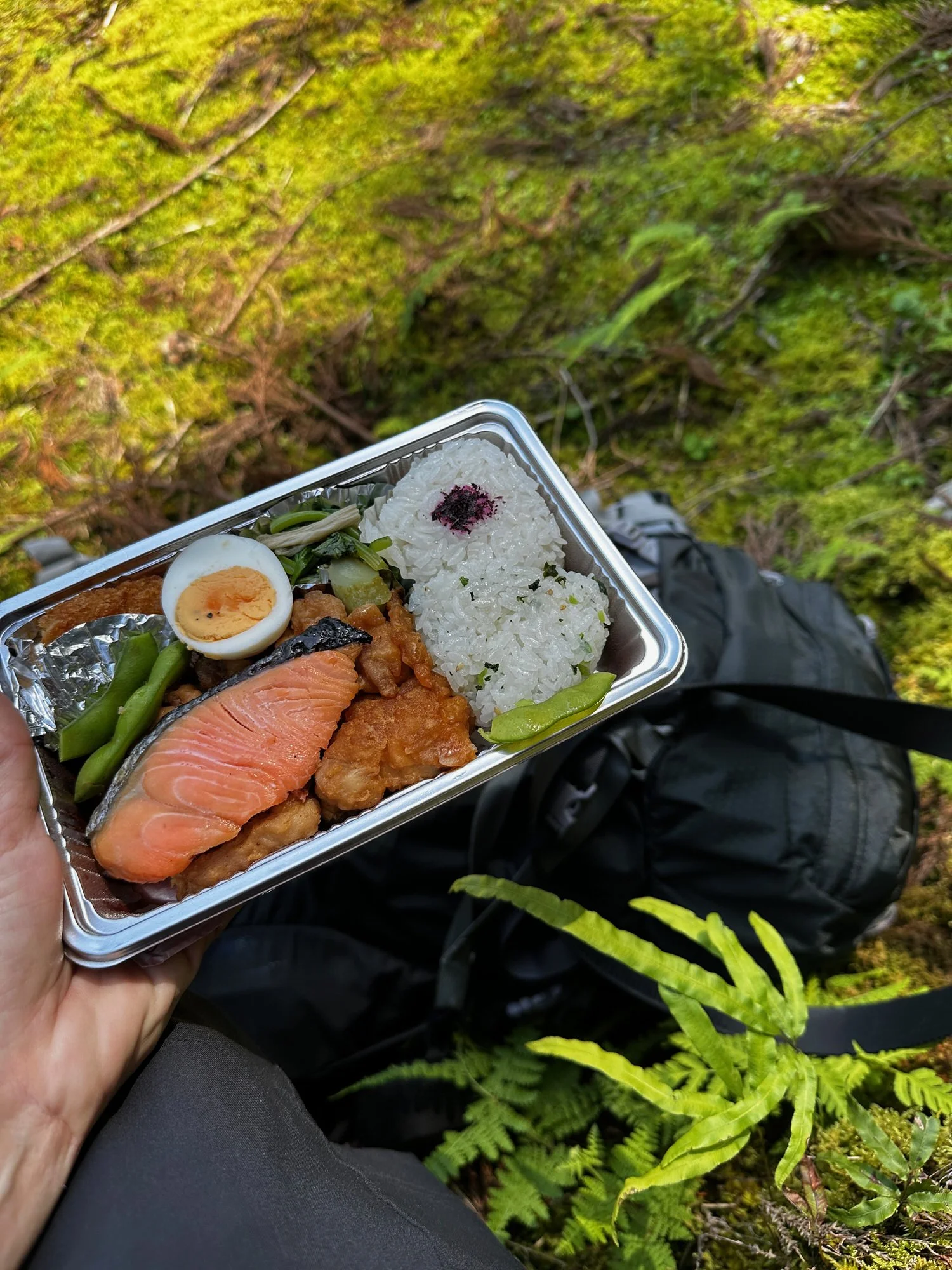
unlike other days there was a little town of sorts midwqy throuh the day whre you can get food and supplies. We had a our bento box but picked up some coffee in a can.
Lunch stop
About half an hour to go now or so
A sunny start for the second day of our walk ok kk but then we had done rain
The weather fluctuated throughout the day but the scenery was beautiful every step of the way
At our accommodation waiting for 3pm so we can check in
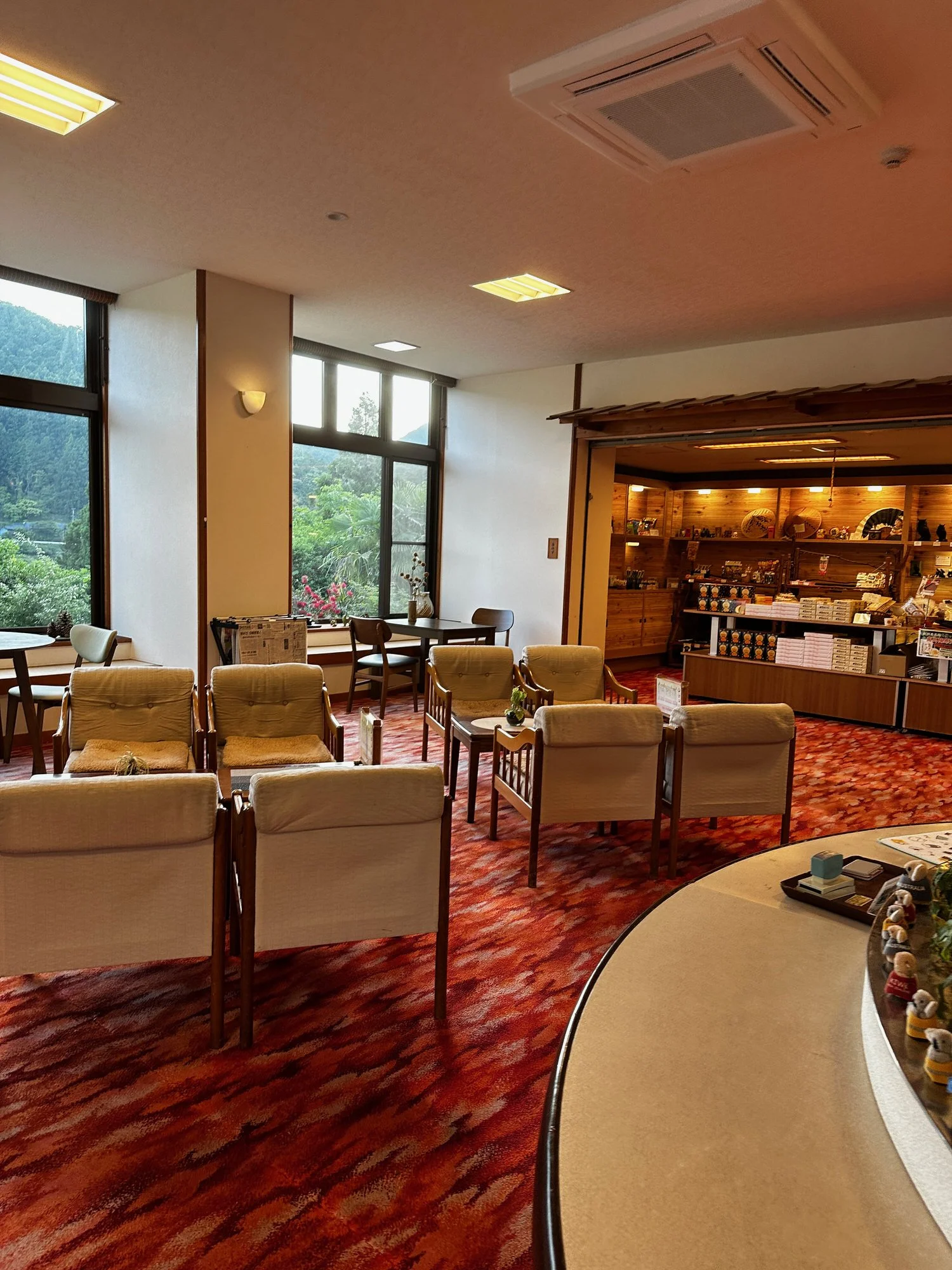
Arrived just after 2 and took a quick walk into the village - coffee shop closed - and visited Oku office had ice tea and talked to people about tomorrows walk. It will be the longest 7-8 hours and we’ll neeed to start early
Day 2 accommodation
Hisbsnd and wife, friendly some English had nice chat on the evening
They live next door
We had place to ourselves
Shin Yokoya (man)
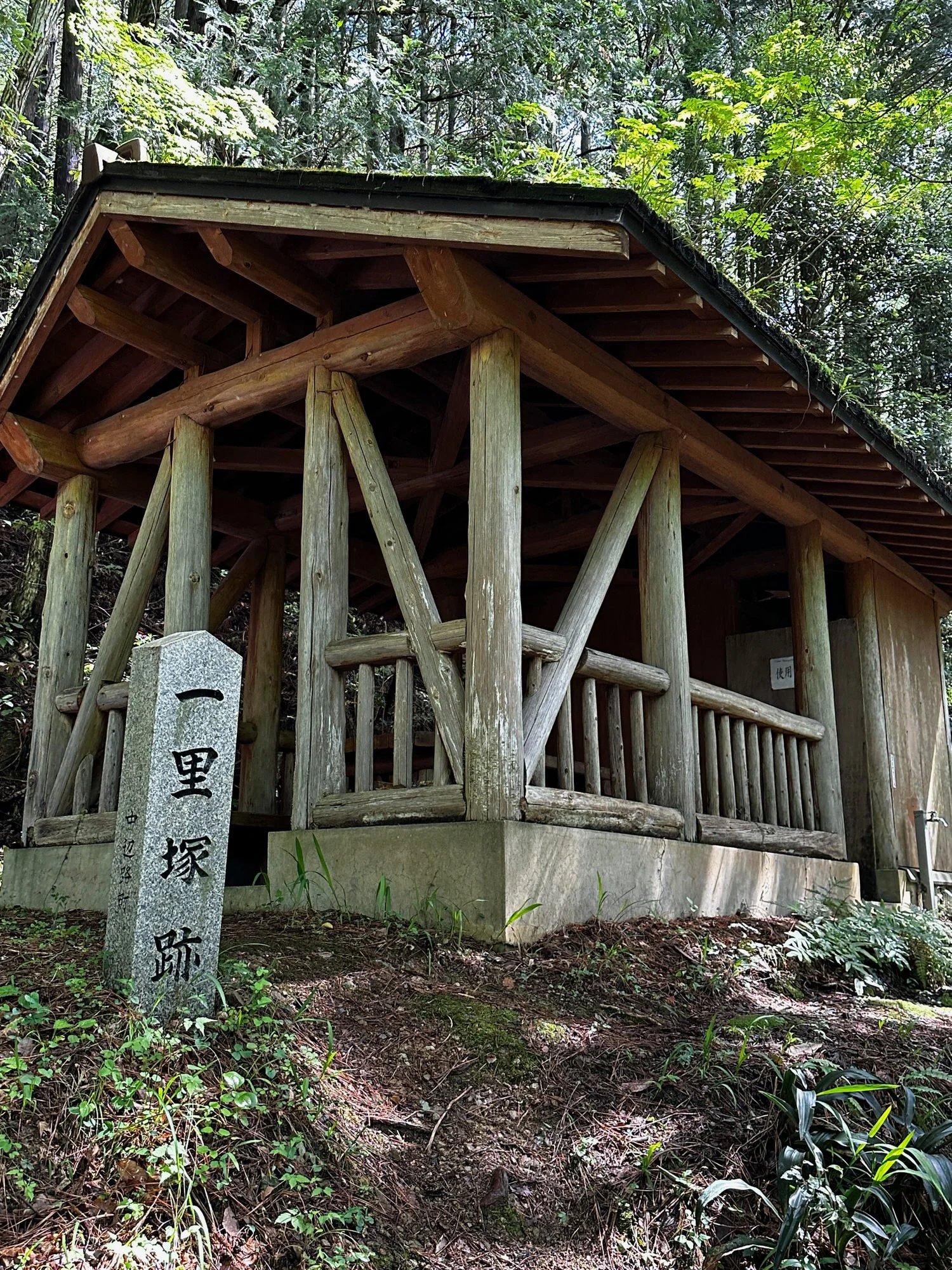
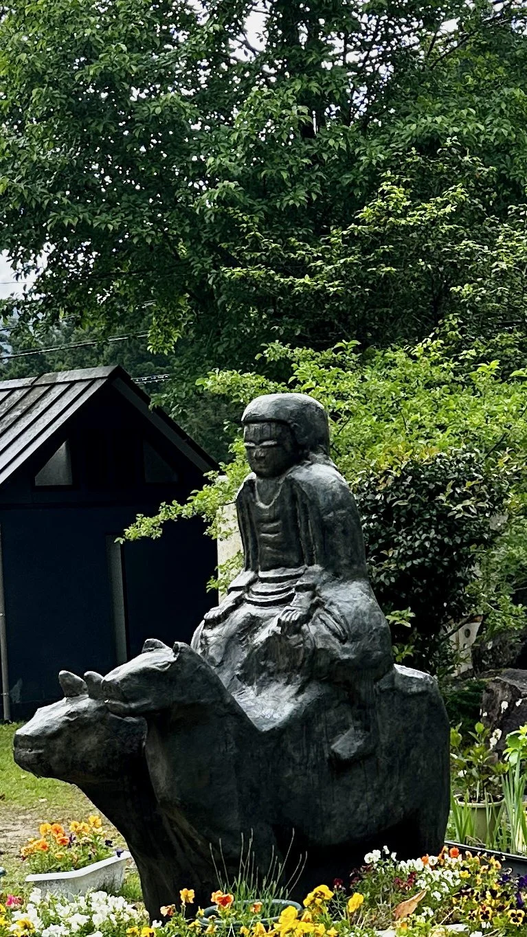
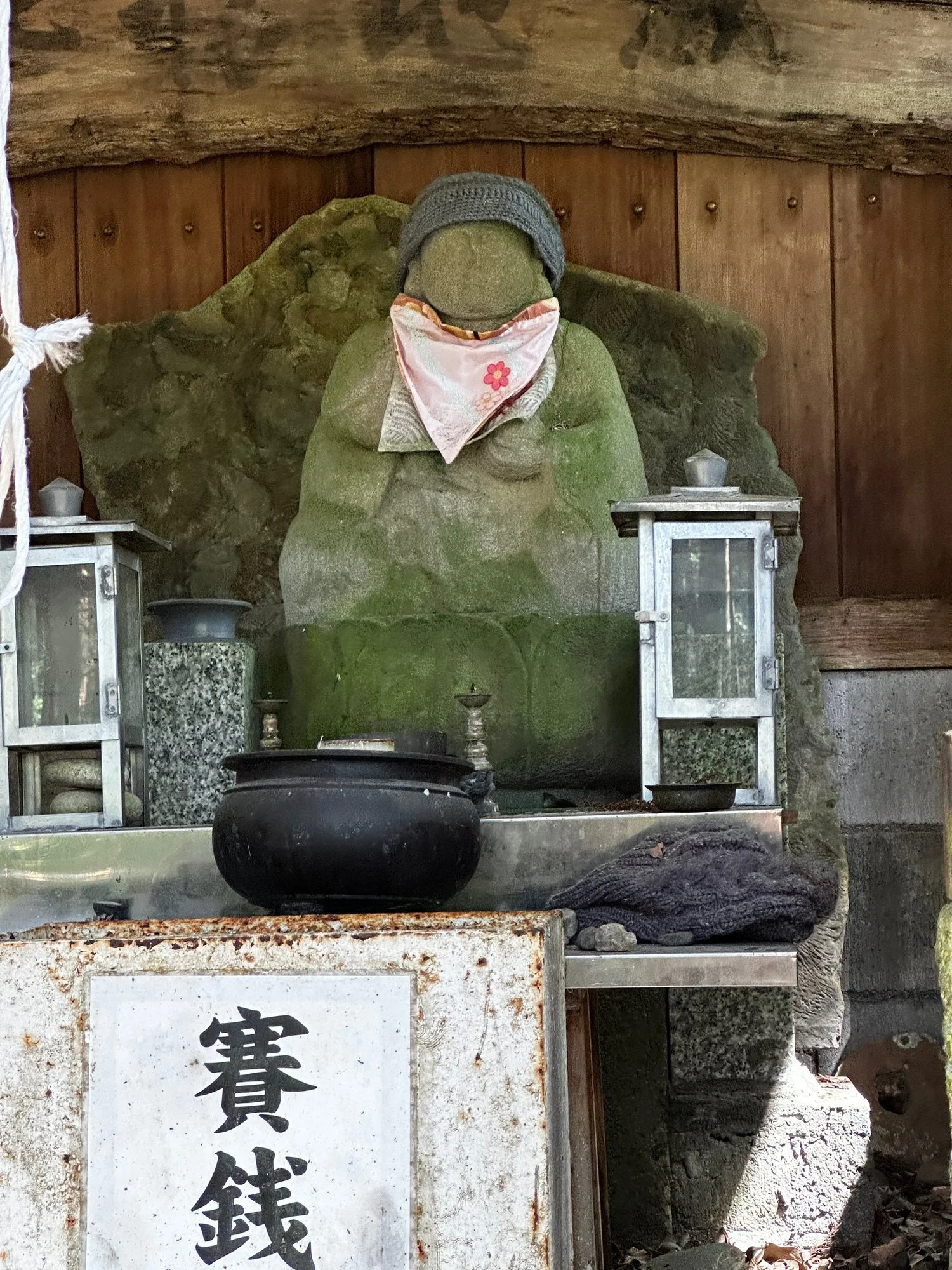
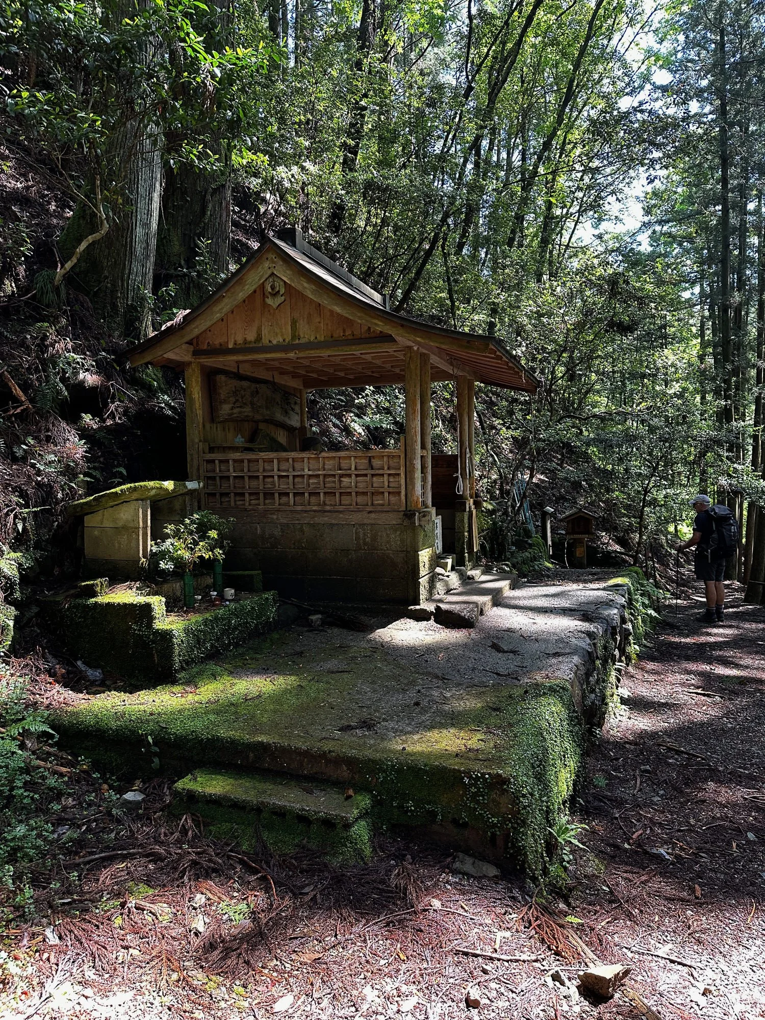
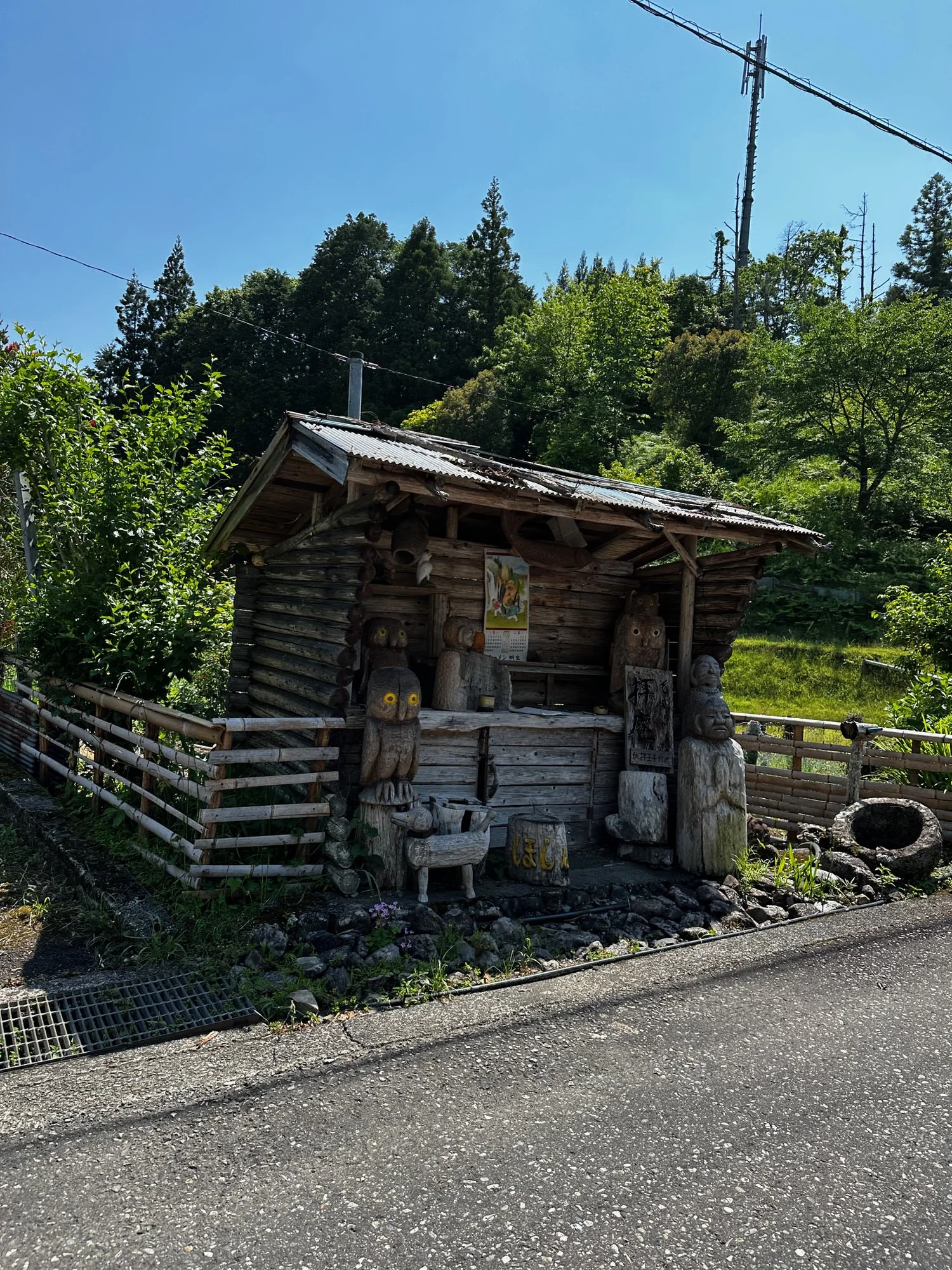
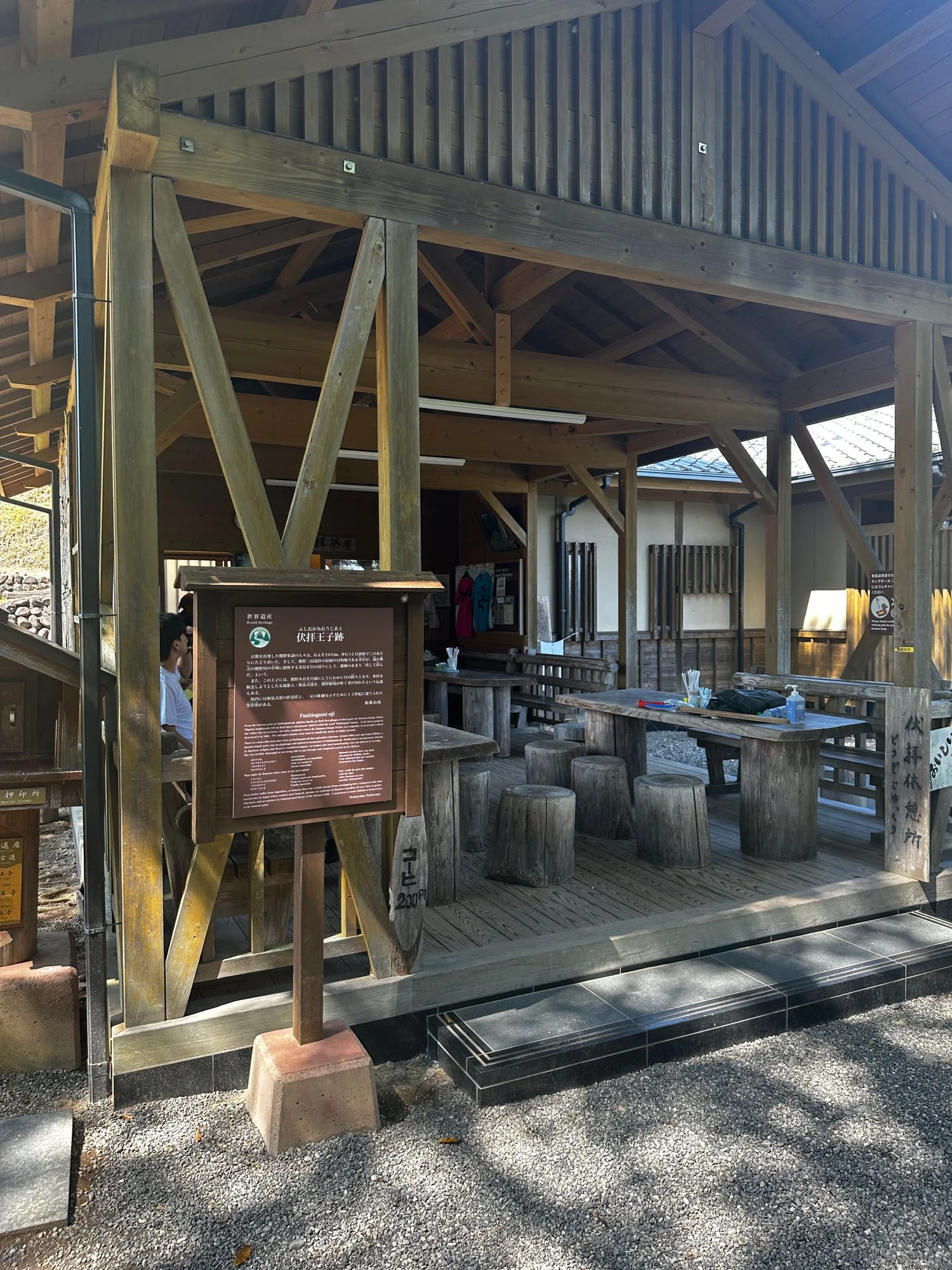
Roadside Station Kumano Kodo Nakahechi his roadside station is located along National Route 311 and at the junction with Kumano Kodo Nakahechi. It is used as a resting place for drivers and people who enjoy walking the Kumano Kodo.
Nearby is the statue of Gyuuma Doji, who straddles a cow and a horse, and you can enjoy an easy walk on the old road to Chikatsuyu Ouji.
We mainly sell local products such as kusamochi, umeboshi, miso, and raw shiitake mushrooms, which are local specialties. In the eating and drinking space where you can relax in the tatami room, we offer light meals such as plum udon and coffee.
https://www.guruwaka.com/michinoeki-nakahechi/
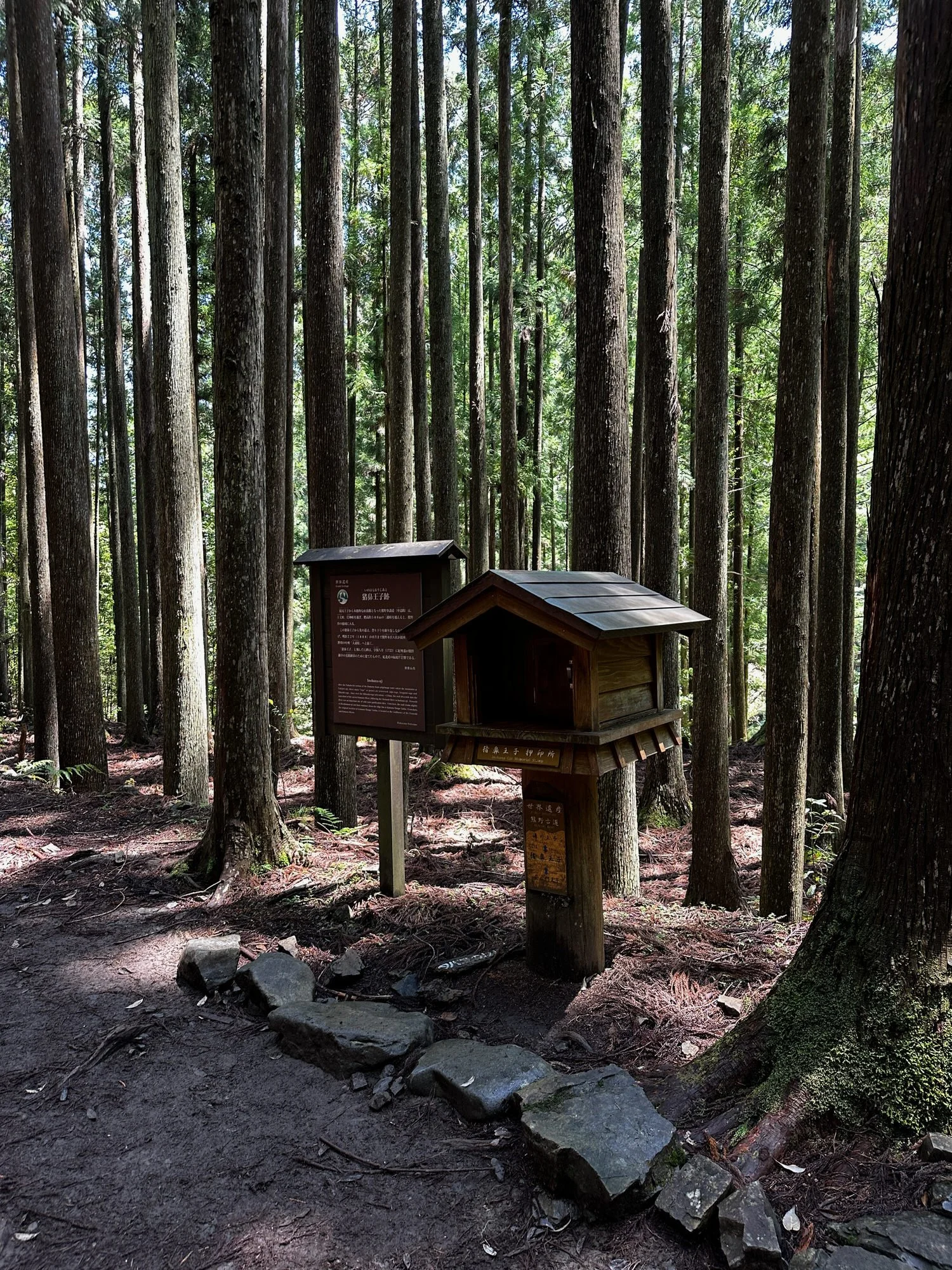
Numbered markers along the way allow you to alert emergency services to your area on case of emergency
Long steep section on second half of the walk which with every step we took down we realised how many Ed need to climb back up!
May 15th Takahara to Chikatsuyu
10km 480m ascent
520m descent
Overview
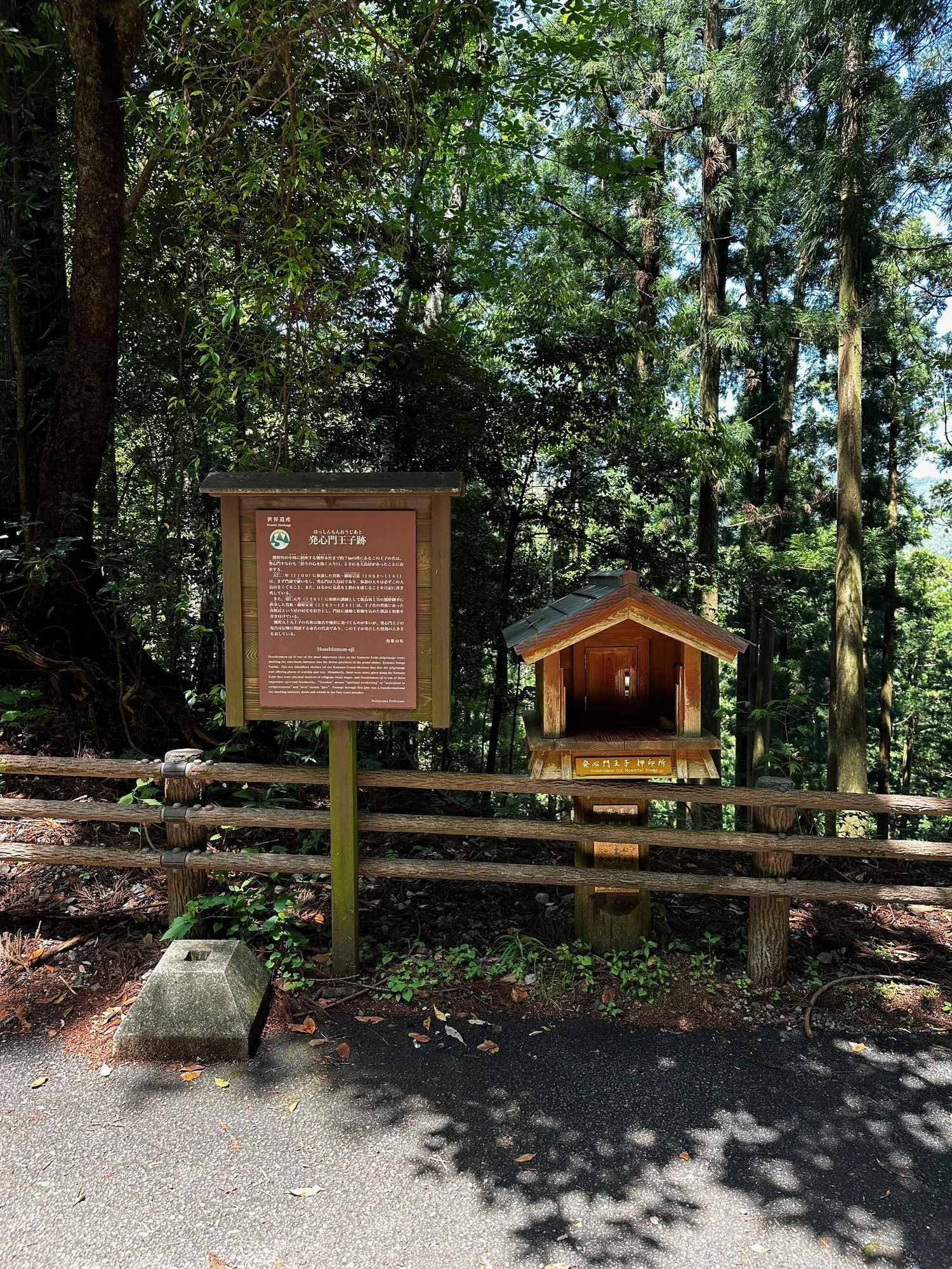
From Takahara, you climb through the village and continue on an undulating trail past several oji shrines, before descending to the village of Chikatsuyu.
Walking guide – KUMANO KODO SECTION TWO Maps: 1 Takahara to Chikatsuyu
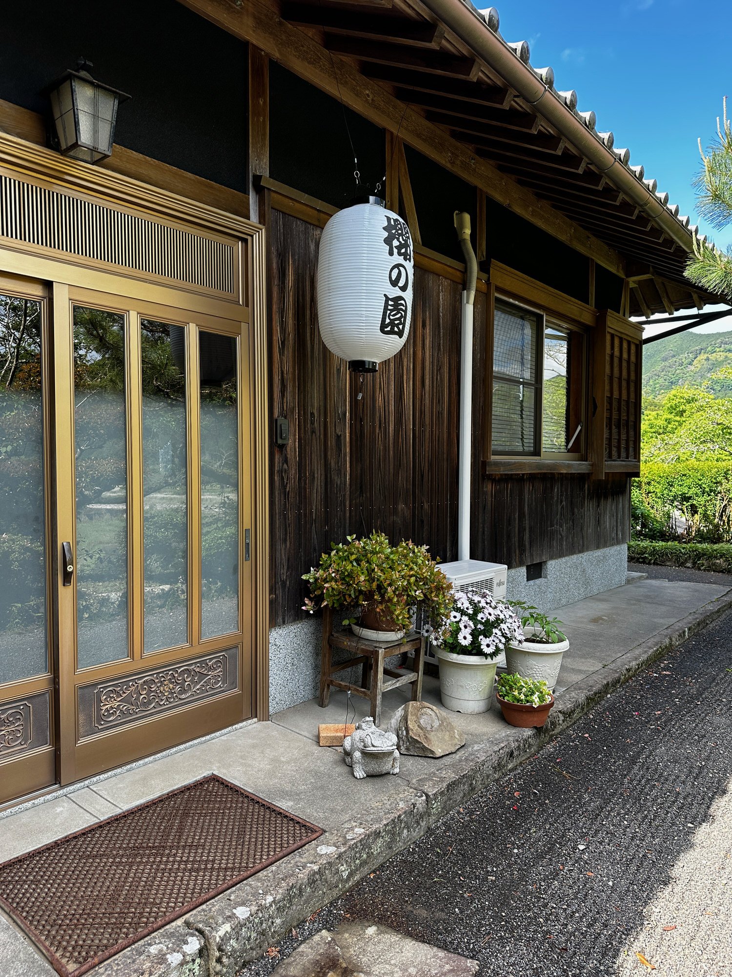
Accommodation: Sakura-no-Sono - Cherry Garden 櫻の園 in Chikatsuyu Meals: Dinner and Breakfast included
Telephone: 090-9625-0402
Address In Japanese: 〒646-1402 和歌山県田辺市中辺路町近露 729
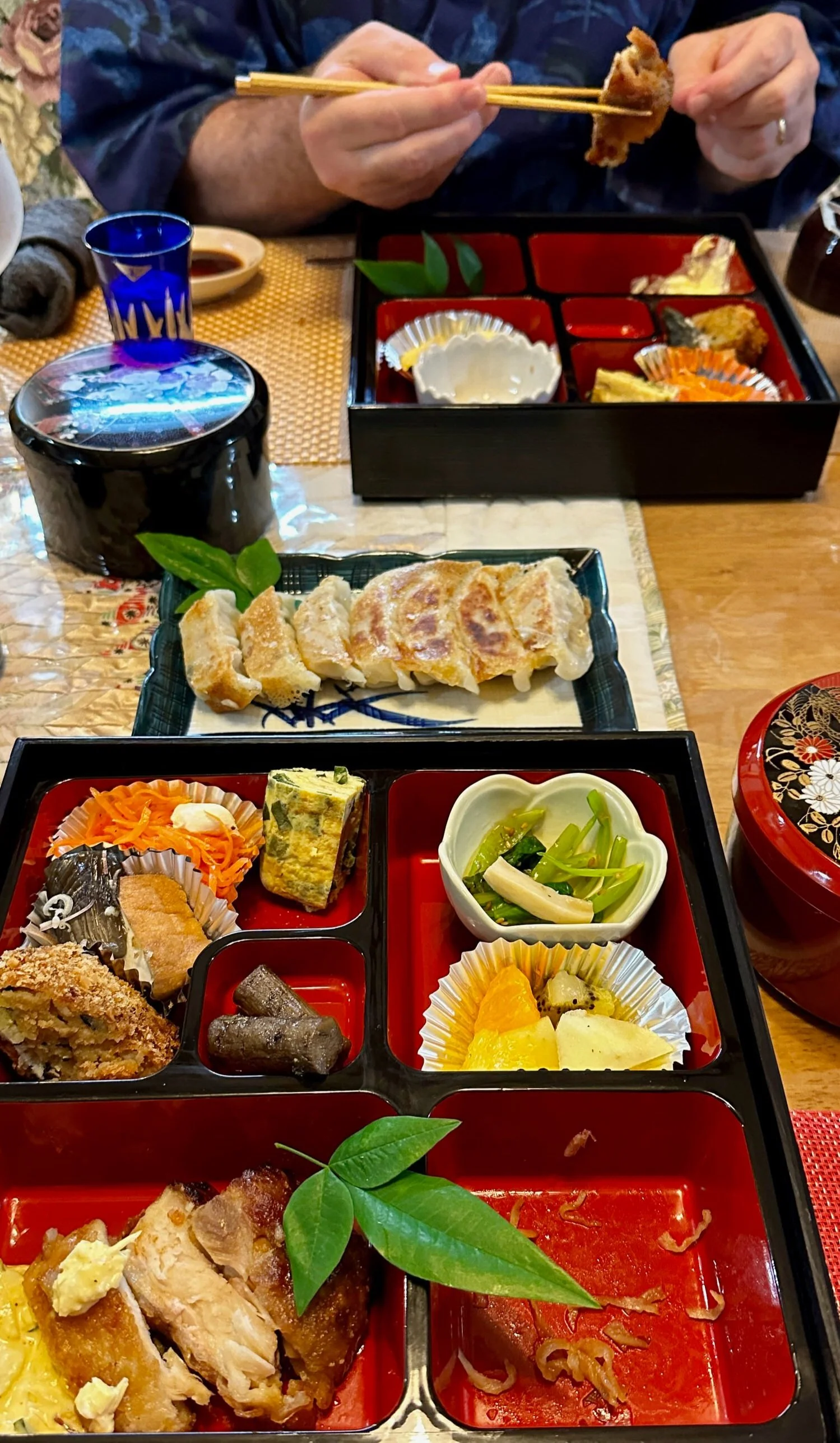
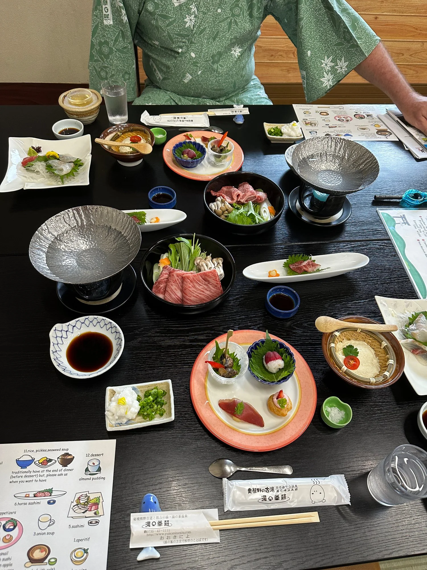
Your accommodation this evening has a great location close to the entrance of the village and the friendly host Mr. Yokoya also lives close by. Although Takkyubin is not possible, Wi-Fi and a coin-laundry for JPY300 are available at the inn for guests to use and bathing is possible until 10pm – you may also like to visit the excellent Onsen baths at Minshuku Chikatsuyu to the north of the village, costing JPY600 payable on entry (open every day apart from Thursdays). Dinner is from 6pm at the inn and breakfast is provided at the café in central Chikatsuyu from 7am, where you will also pick up your provided Bento lunch for the walk today.
Access to your accommodation - Check-in: 15:00 Check-out: 9:00
In Chikatsuyu, please respect the check-in time of the inn – if you arrive early, you may like to visit the A-Coop supermarket which has souvenirs as well as beer and ice cream. Remember to see the footbath next to Chikatsuyu-oji, too. The nearby Nakahechi Art Museum is also interesting. As you approach Chikatsuyu village, you leave the forested trail and join a road; Cherry Garden is the first house up on your left.
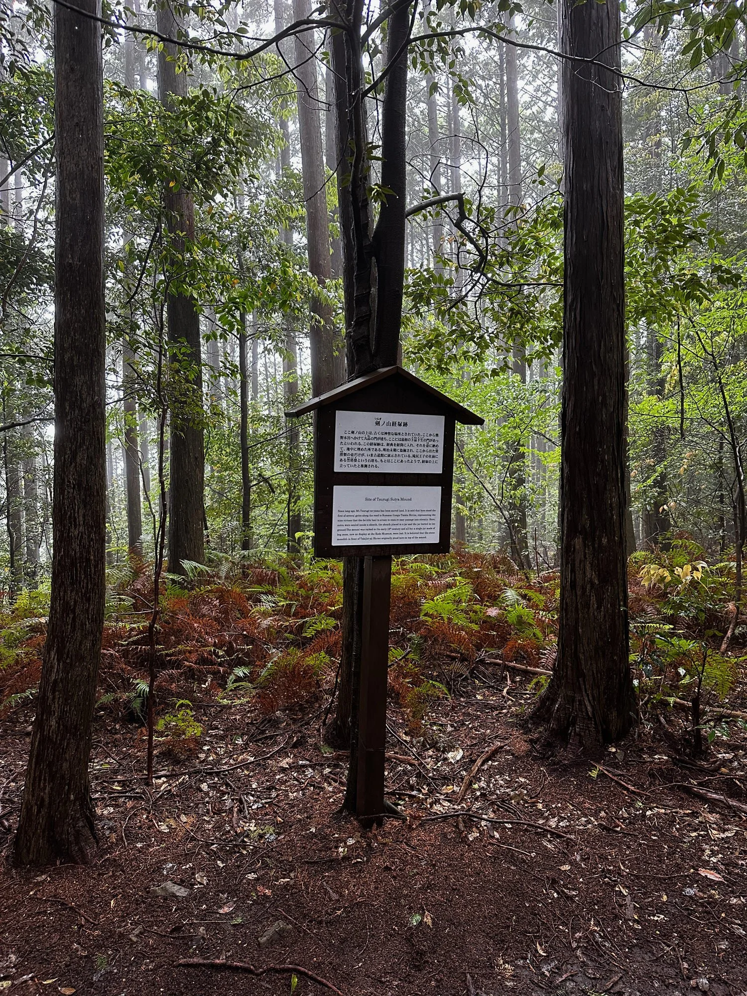
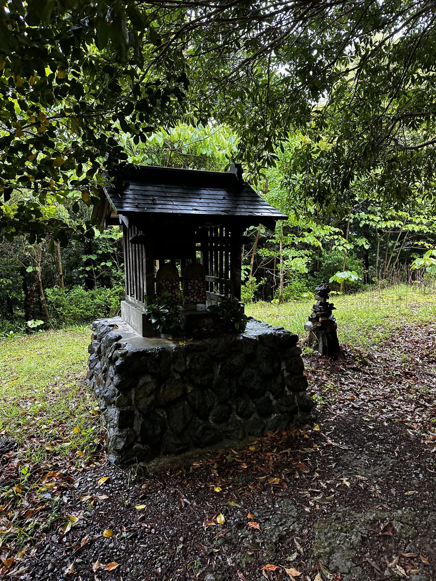
Statue of Gyuuma Doji at rest stop


Chikatsuyu to Hongu
Day 3 Chikatsuyu to Hongu
15 km
6-7 hours
635m ascent
995m descent
Started today with a bus ride to our stop. Need to check which one that was. I’m talking to people he’s obviously lots of ways you can do. This section is three different options, hard, medium and easy given to us or just getting the bus all the way to hunger so they have time to look around there and they’re going to walk from there to accommodation where as we are walking to hungry and getting a bus to our accommodation , as long as we don’t miss the bus
There is a diversion on this part of the trailer because of a nice sleep or something that is well marked and tells you where to go
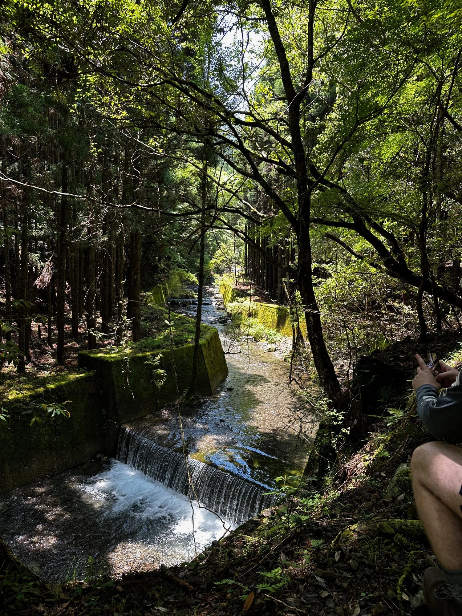
The first part I just after the bus is so beautiful near the water. Also Coles because it’s coming off them how to take a special waterfalls you’re so pretty little further on low down, but even though he’s called a sniper getting jacket out because you’ll be hot send enough with the big time that follows.
And climbing for sometime now someone said that I nearly at the top about 10 minutes ago doesn’t look like it sure how far the top is
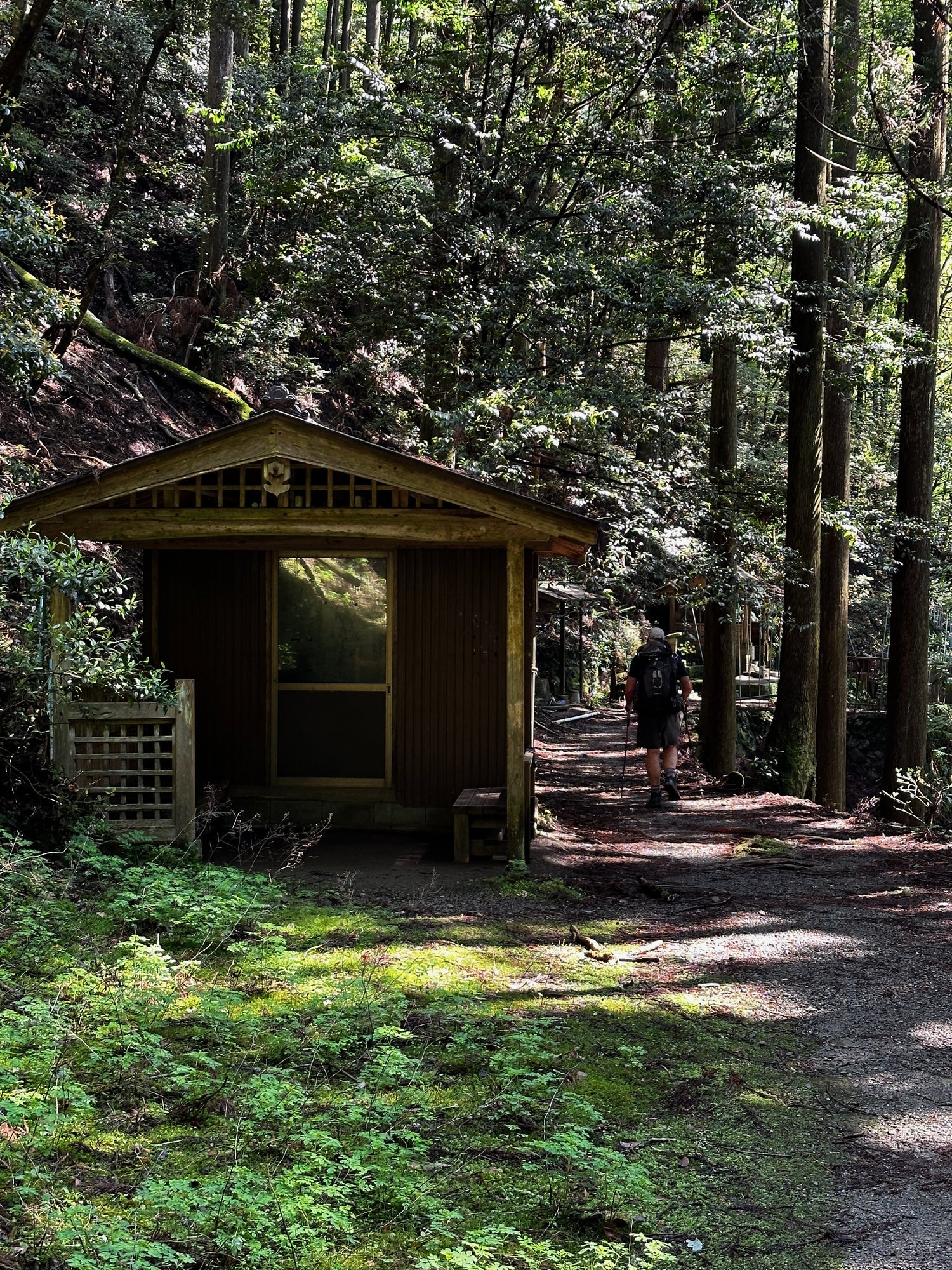
After walking through beautiful woodland, we had quite a descent which Pocock worried about, but it wasn’t too steep and all very pretty, and we manage to find a portaloo, which was great, and we came to this beautiful waterfall, and then I’ll ruin house took a picture of the signboard, so see what that is
Stopped here for lunch at about 11
Recorded the following notes (including some gobbledygook) along the way
Things of note on the Trail in general there is very little Italy rubbish occasional bottle but they’re not nice look like they were supposed to be left you some of the shines on the shrines are stand out well that was the isotopes in people get stamps we didn’t do that and they obviously freshened up all the time. Can you tell by fresh paper decorations another six photos so hot today no shorts I’m glad I will shorts today Beautiful Sound effects also 2 km is longer than it seems to be in Sydney but that’s probably all the ups and downs and because I’m exhausted and carrying a heavy pack also tonight one if you can get your carry get your luggage carried to the next spot, we were told there was only limited services, but we seem to be the only ones carry the packs today to add there’s lots of options for the different day so particular for today so make sure tonight goes battery. Also will check when I get to the next place where there are some other options for day four and a 510. Five is the biggest climb, so I’m not really looking forward to that. Will see how we go.
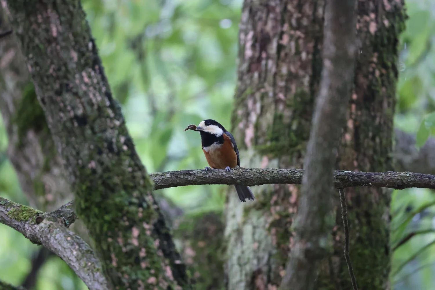
I’m the trees message to Teresa cedar trees untold around the way, and they really are probably the basis of a lot of Japanese architecture not just the upright trees, but the ones that are full and off and on horizontals and you see this reflected in temples and housing and other things And also reflected the way to Japanese like living water and you can see that along the Trail and people take this into their homes can hear those beautiful birds. I’d love to know if his birthday.
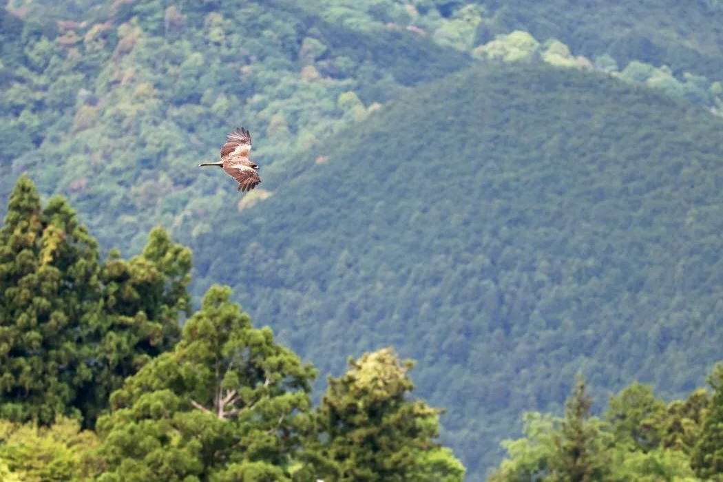
It was very difficult to find out about wildlife in Japan, except to say that there are beers and something else but didn’t say any bears. Unfortunately I see if you bugs and heard a lot of birds But not seen all that many birds are more visible closer to the little towns and villages.
So I’m on the last section of yeah walk to hungry. Paul is a little further behind so in Homeview. There is a shrine that people go to and it must be like I think you’re kind of town are bigger village. I’m not sure but I’ll probably only have an hour there before we have to get on the bus to our accommodation because if we wait for the later bus and there are only three in the afternoon. I think they’re like 3 o’clock 5 o’clock and 7 o’clock or something then will probably be too late for dinner and certainly be too late for the Johnson arm so that’s what we’re aiming for.
Today was a very hot day for walking. I don’t think it want to do it any later than May arm even today. We wish you have the rain to come back because it does cool you down even that makes a slippery so there’s advantages and disadvantages for certainly having the sunshine is beautiful. The staple diet through the trees it’s gorgeous .
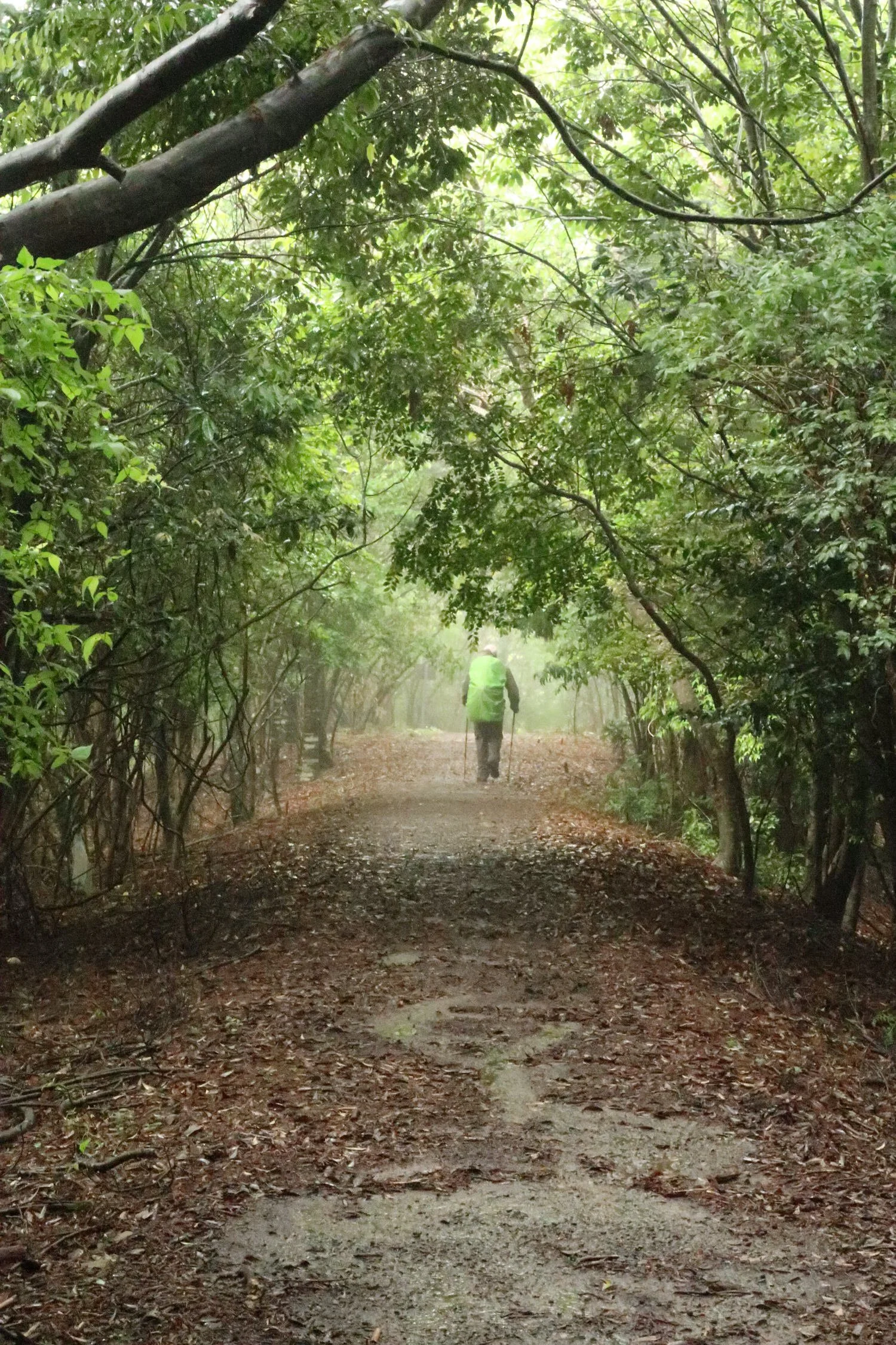
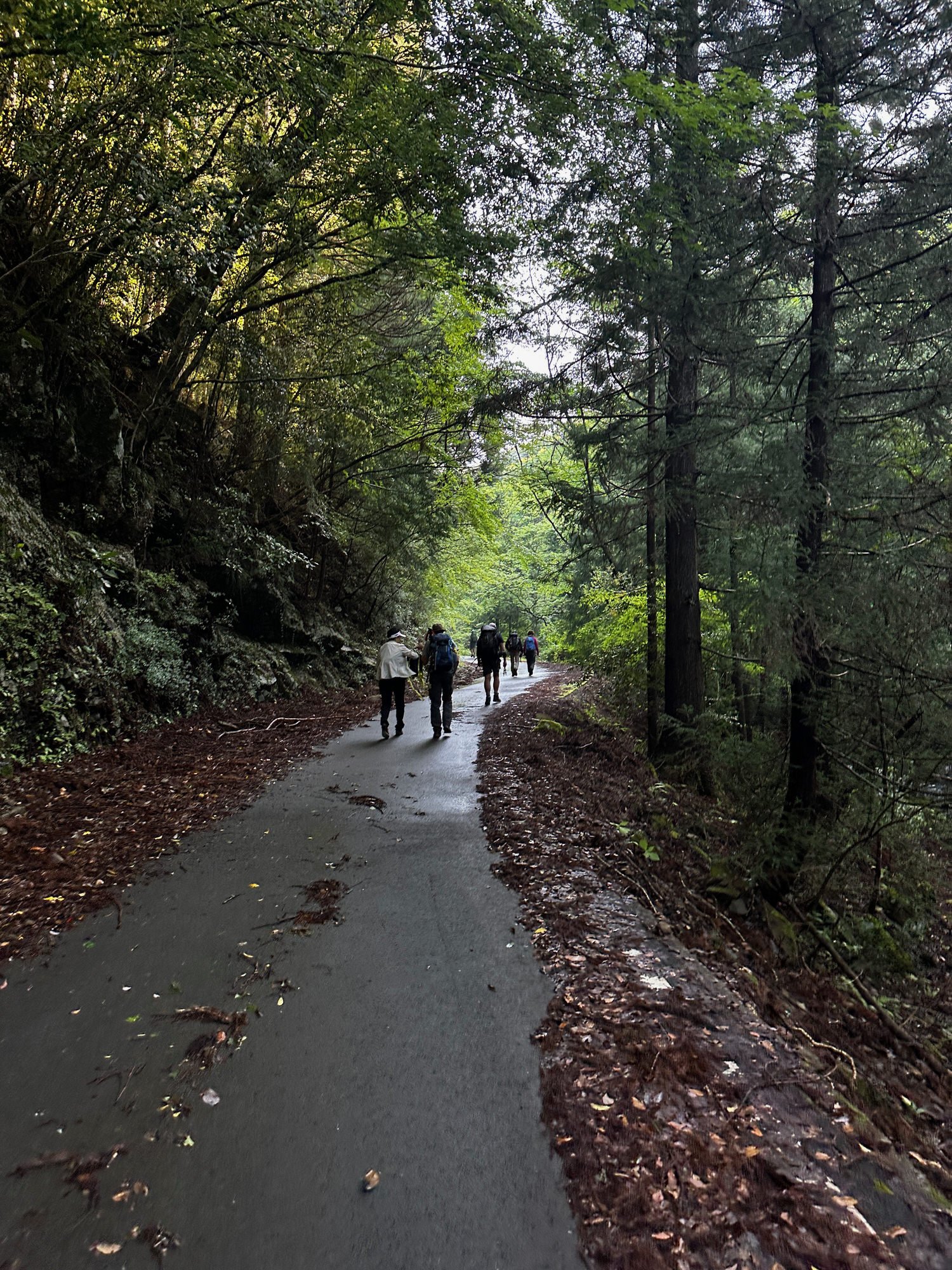
A few people along the way. Didn’t stop to chat for two longer. There’s a guy who has been walking in Japan fair because it 70 something days do you pilgrimage from Scotland originally has a English accent of some kind of tea is it interesting guy and saw Mr Garry Fish and looks very fast and he does he’s done the Camino France Amelian. Lots of places with me there’s quite a few Australians walking and Americans Californians Japanese definitely and perhaps they’re doing the pilgrimages call Pat snot so it is very popular but not too busy. We haven’t for the most part been walking with a crowd or had our peace interrupted too often.
Hongu Shrine
It all begins with an idea. Maybe you want to launch a business. Maybe you want to turn a hobby into something more. Or maybe you have a creative project to share with the world. Whatever it is, the way you tell your story online can make all the difference.

Ukegawa to Koguchi
Day 4
Alternate walk Changed the plan for this day (and hence for day 5 which was more sight seeing than walking. )
Day 4
Alternate walk. We were set to do the very steep long one but with temps of 29 forecast and our big packs on our backs, we were ul for an alternative (next day we realised why the two hour taco drive alternative was suggested as it ends at main shrine of Nachi Taisha)
Got bus to start.et a couple of Australians, Melbourne, two Canadian girls just out of medical school and an English couple, well man was anyway and woman from Finland. He’s in qantas board. Chatted to each at various points along the trail today.
Sorry halfway up the hill I’ve been sprinting try to catch him go to hell but nothing like yesterday I came home. Beautiful girls had to stop it. I’m trying to find him still I might need to stop for some water
Great track of w bit steep in parts. Very well defined, good steps
Great views about 5ks or so in - looks out over so many peaks
Beautiful brightness , gorgeous greens
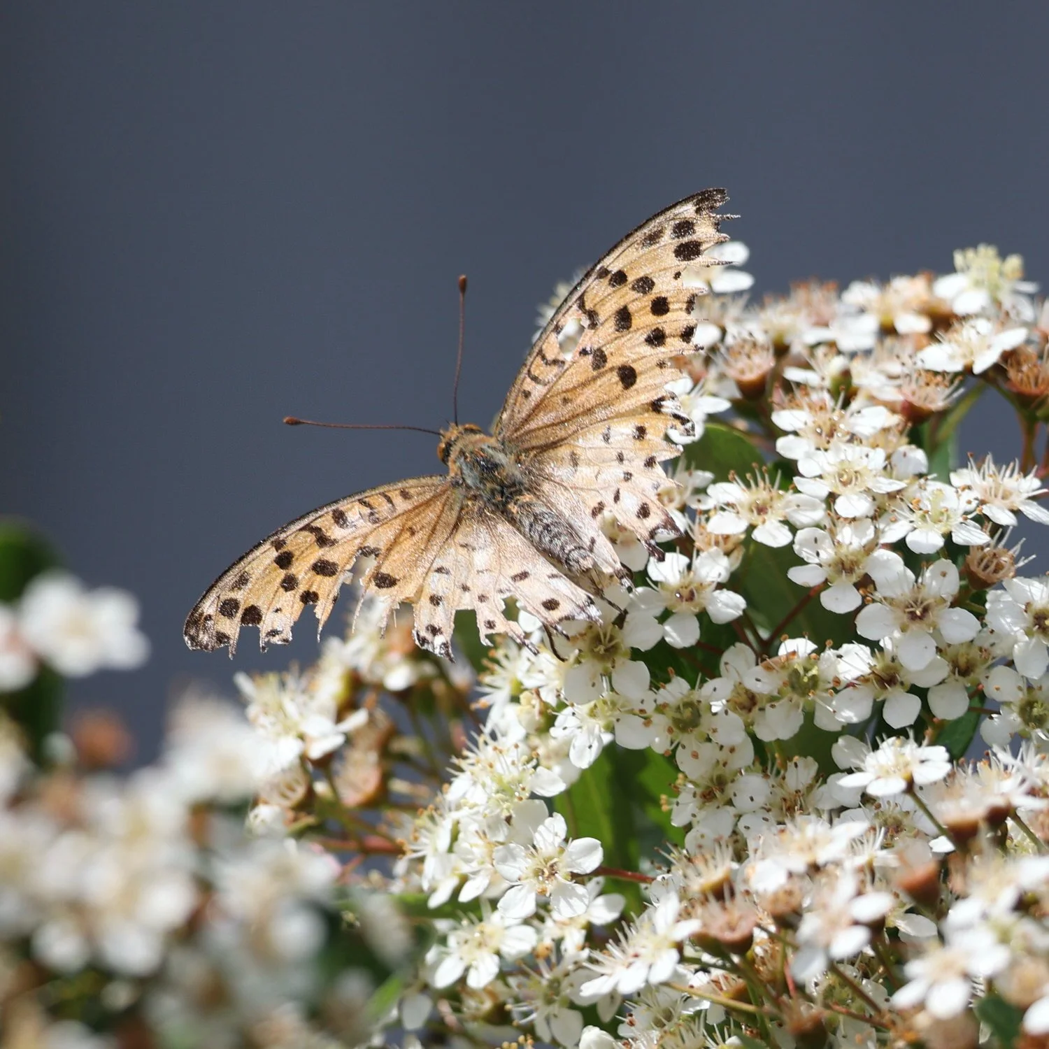
Birds bugs and butterflies and someone saw a couple of snakes
We found a lovely little stone seat with a moss covered cushion and room for two. In among the tall cedars, the perfect spot for lunch about 4ks from kyuzo
I’m so glad we decided to do this walk today instead of the other one. It’s a great Trail and I don’t doesn’t have that Pewdiepie it’s not my god it’s challenges just very beautiful dappled, light bright green
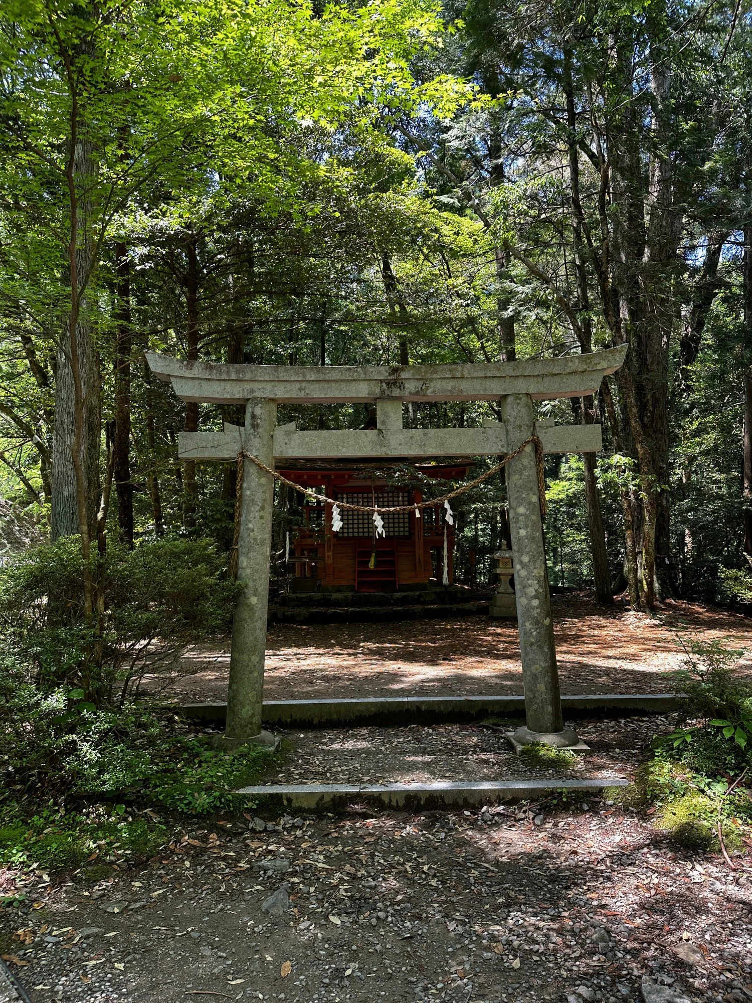
Along this trail , I’ve not seen one piece of graffiti i did seea broken bottle but sure that wasn’t part of a shrine offering. It’s so beautiful and untouched and spoiled oh maintained and in Australia but even at the shrine says people have left money as an offering and it stays there, stacks of money, no one takes it - very respectful
Toilets are few and far between I don’t mark down the map so you can plan ahead also marked our vending machines which is kind of hilarious when you find me in the middle of nowhere. Not that there’s many of them, but sometimes in remote places you’re standing machine up ahead I’m selling anything from here to psychiatric water to coffee maker. Funny that actually wasn’t worth on this trip which is funny but wasn’t actually the worst coffee I had on the trip
Steep steps at tend ok ibex tou come out of the canopy but watch out for missy rocks further up
Note - we were given the two hour taxi/two hour walk option which we declined thinking the one we found was a better option. And it was lovely. But looking at it again when we looked into Kumano Nachi Taisha we saw why to was suggested and it would have been good. But no matter. We still got to see the temple etc
DAY 5
Kumano Nachi Taisha
Cahnged the plan for this day and hence for day 5 which was more sight seeing than walking.
Sed purus sem, scelerisque ac rhoncus eget, porttitor nec odio. Lorem ipsum dolor sit amet.