Taren Point to Woolooware Bay

-
An easy bay-side walk linking mangroves, boardwalks and shorebird habitat.
Distance 6 km Time 1-2 hours
Steps 10,000
Level of Difficulty Easy -
Easy, mostly accessible path
Views over the bay and to the city
Abundant birdlife
TOAST 2230 café near Solander Playing Fields
Jade Teahouse cafe at Camellia Gardens, Caringbah (10-minute drive from start)
-
Start & finish: Alexander Avenue, Taren Point
Parking: Small car park at the end of Alexander Avenue. Additional parking in surrounding streets
The path is shared — watch for cyclists, especially on busier days
Dogs are banned from the foreshore, especially in areas with sensitive nesting habitats
Limited shade along some sections; sun protection is recommended
This out-and-back foreshore walk in Taren Point follows the edge of Woolooware Bay, with open views across to Towra Point and Botany Bay beyond. Popular with locals, the route has been improved in recent years and the pathway widened and upgraded to allow plenty of room for walkers, cyclists, wheelchairs and prams.
The trail is characterised largely by mangroves on one side and an evolving industrial and residential landscape on the other. It’s an easy, level outing that works just as well for a short morning walk or run as it does for a longer, unhurried stroll.
WALKING THE TRAIL
To Start
The walk begins at the end of Alexander Avenue, where a small car park sits beside the water. There is additional parking in the surrounding streets.
Facing the water, the path begins on your right. You might want to use the facilities here - bubbler and toilets - as it may be a while before you find others.
Alexander Avenue to Atkinson Avenue
At the start of the walk you’ll pass, on your right, a growing retirement hub. On your left is the Georges River and the entry to Woolooware Bay. The name Woolooware is derived from the Aboriginal word Wooloowa, meaning muddy track. This echoes the area's natural low-lying mudflats and dense stands of mangroves.
This area is part of the traditional lands of the Gweagal people, a clan of the indigenous Dharawal nation. Over many thousands of years these waters provided the Gweagal with an abundance of fish and shell fish.
European settlers in the area were quick to take advantage of the quality and quantity of the local oysters in particular, and the oyster industry flourished here from the late 1800s to the 1990s. Not far from the start of the walk you’ll see remnants of the industry including an old oyster jetty, post-WWII Nissen huts and old stone oyster beds. If you’re interested, interpretive signage nearby provides more detail.
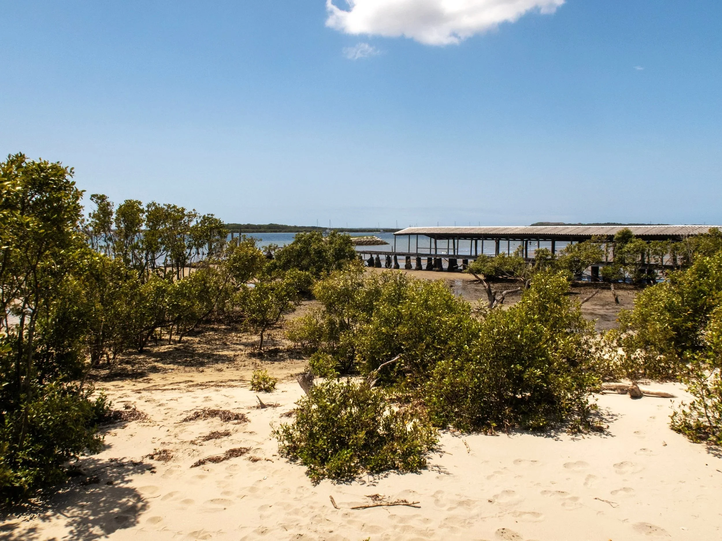
Old oyster jetty. Nissen hut and cleaning bay below


Beyond the jetty is the Arthur Gietzelt Memorial Lookout, a viewing platform that looks out over the bay and the sand island frequented by internationally protected migratory seabirds. The lookout is named for a former Sutherland Shire president and Councillor who fought to preserve this habitat for these birds. The screens you’ll see near the viewing platform were erected to shield the birds from disturbance from pedestrians and cyclists.

Sand island looking out over Botany Bay and Port Botany
Atkinson Avenue to Solander Playing Fields
A short way from the lookout, near Atkinson Road, signs will direct you away from the waterside to meander through a few streets before rejoining the bay.
This next section is a mix of sealed pathway and boardwalk. The boardwalk is extensive and well designed, floating out over the bay in some sections. Keep an eye and ear out for cyclists - the pathway is shared for much of the way.

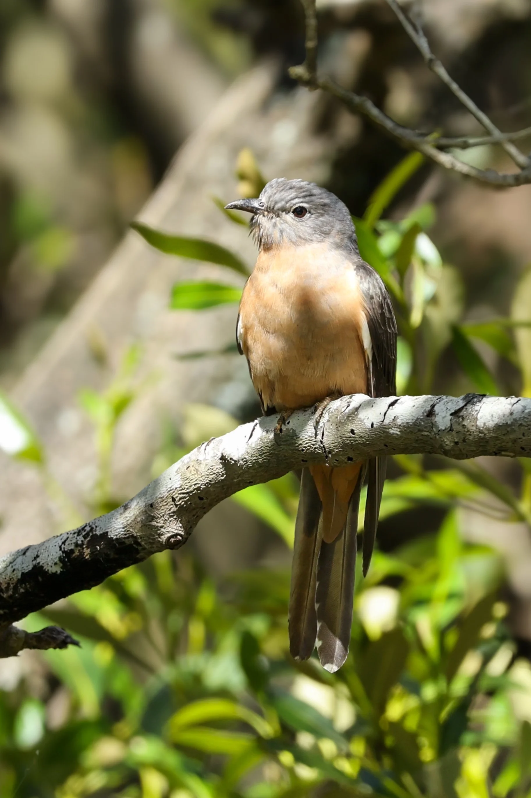
There are more shady trees along this part of the walk and among the foliage we saw quite a few birds including Fairy-Wrens, Welcome Swallows, Figbirds and a variety of honeyeaters. And foraging in the mangroves, a couple of shy herons.
The turnaround point is just beyond the Solander Playing Fields. We stopped at the nearby cafe for a welcome drink before heading back.
Return walk & Shorebird Reserve
The return journey follows the same path back to Taren Point, though the changing light and tide seem to give the bay a slightly different feel on the way back.
Just beyond the recently added toilet block near the start of the walk, the Shorebird Reserve offers another viewing platform from which to see local and migratory birds resting or feeding on the mudflats.
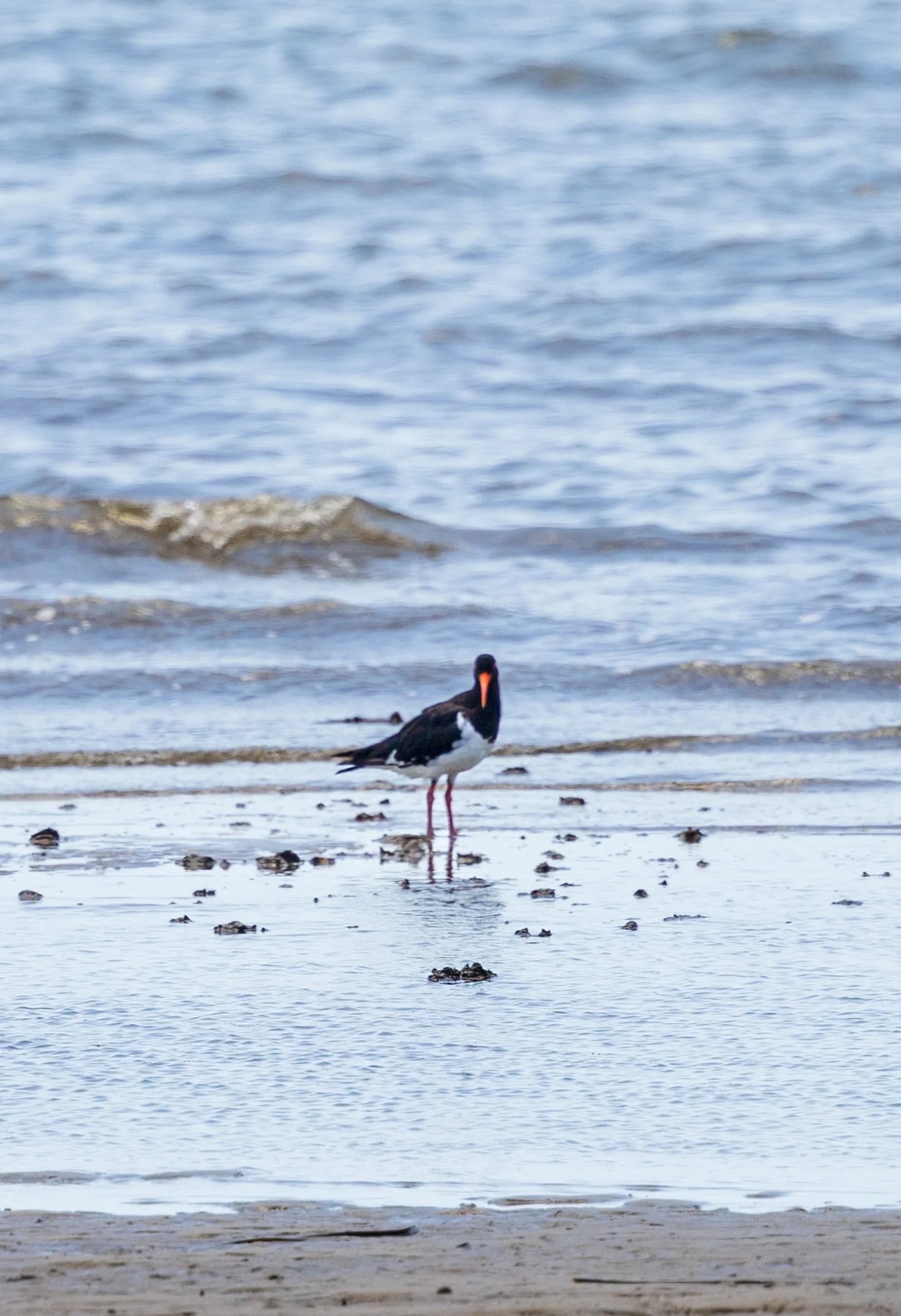
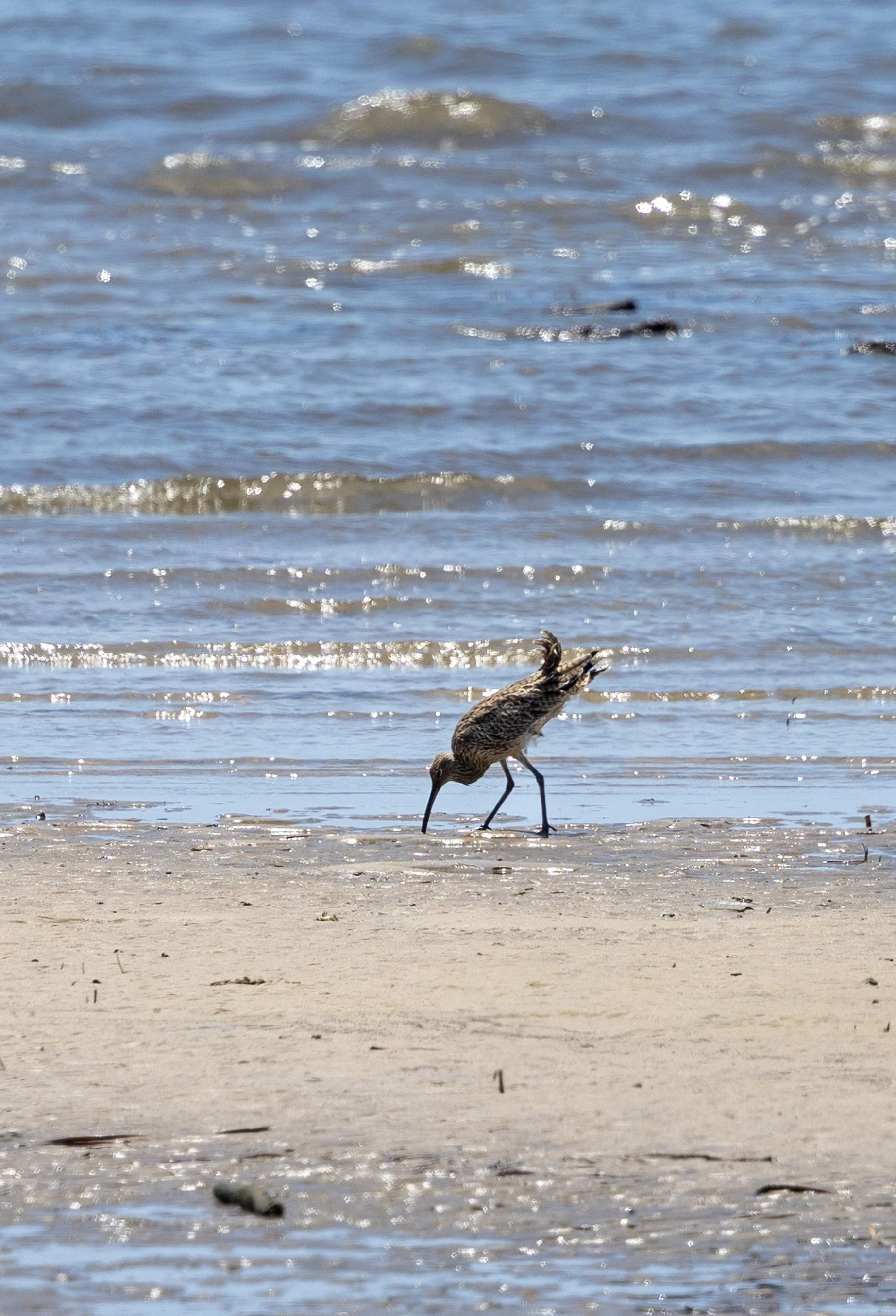
Once heavily contaminated, this waterway is now home to a large shorebird community which includes Sandpipers, Bar-Tailed Godwits and Pied Oyster Catchers.
Each year, over 30 different kinds of migratory shorebirds visit Woolooware Bay and Towra Point Nature Reserve. Many of these birds are listed as endangered or vulnerable which is why dogs are not allowed along this foreshore.
Final Thoughts
This is a walk that rewards a slower pace. It’s easy and accessible, but there’s plenty to see along the way — changing tides, birdlife in the mangroves, and reminders of the bay’s working past. It’s also a good example of how much these once heavily polluted waterways have recovered.
If you enjoyed this walk, you might also like the longer Oatley Park and Lime Kiln Bay loop walk (about 30 minutes away), which wanders through wetlands and mangroves in a similar way, with the added bonus of a swimming beach about halfway around.
Last updated: January 2026